For historical information only, do not use for navigation or aviation purposes!
| Coordinates | N495859 E0133127 (WGS84) Google Maps |
The history of the Cold War airfields: Kralovice
During the Cold War
Use
Reserve airfield.
Situation
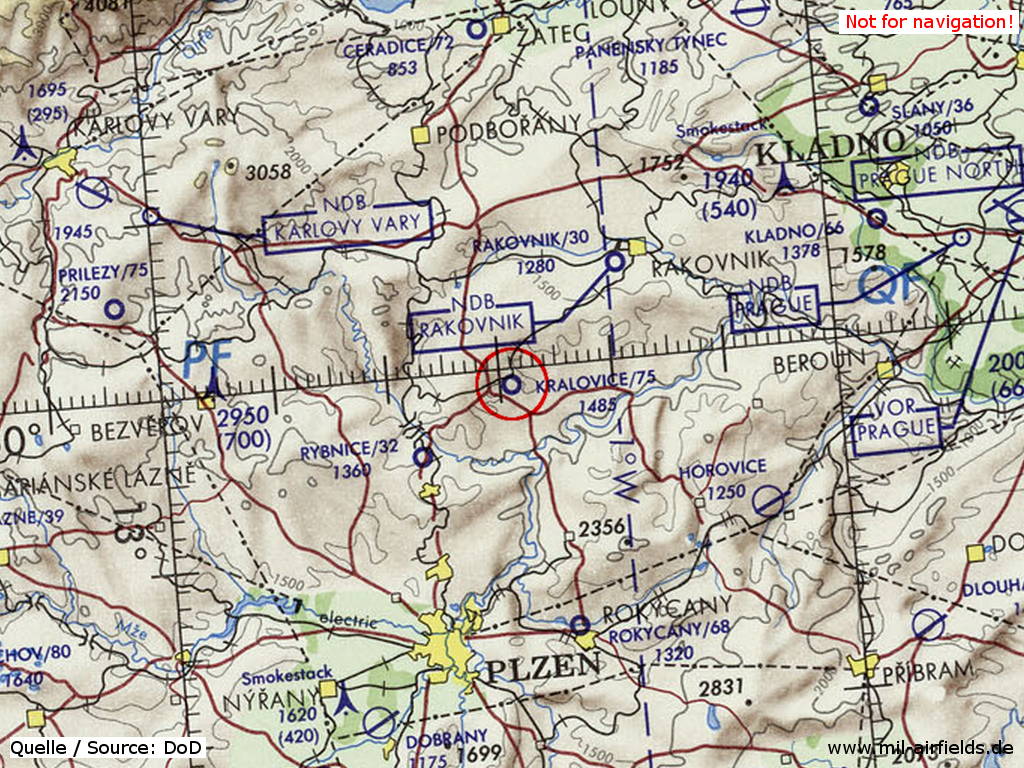
Kralovice Airfield on a map of the US Department of Defense from 1972
Source: ONC E-2 (1972), Perry-Castañeda Library Map Collection, University of Texas at Austin
Overview
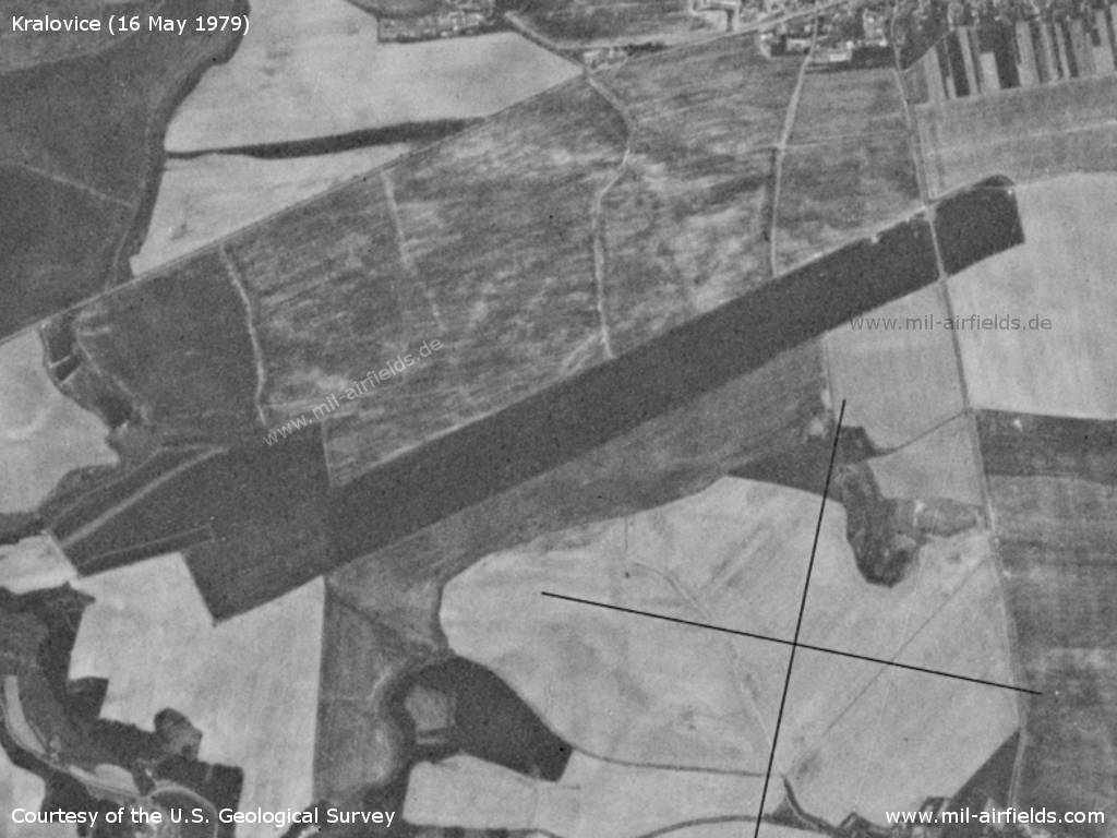
Kralovice Airfield on a US satellite image from 16 May 1979
Source: U.S. Geological Survey
Runways
- 06/24: 2500 m Grass
Today
Use
Closed.
Links
- http://www.letistecr.cz/akce-a-souteze/dalava-uz-m... - „DALAVA“ už Migy neduní
 Follow mil-airfields on Facebook