For historical information only, do not use for navigation or aviation purposes!
| Coordinates | N500048 E0154418 (WGS84) Google Maps |
| Elevation | 741 ft |
| Location indicator | LKPD |
The history of the Cold War airfields: Pardubice
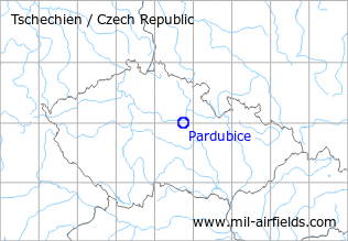
Location of airfield
Southwest of Pardubice.
During World War II
Usage until 1945
Pardubitz air base.
During the Cold War
Usage during the Cold War
Air base.
Situation
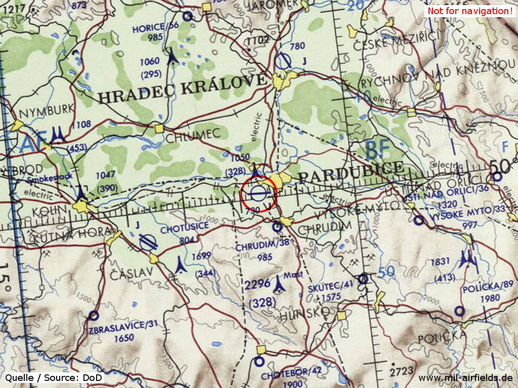
Pardubice Air Base on a map of the US Department of Defense from 1973
Source: ONC E-3 (1973), Perry-Castañeda Library Map Collection, University of Texas at Austin
Overview
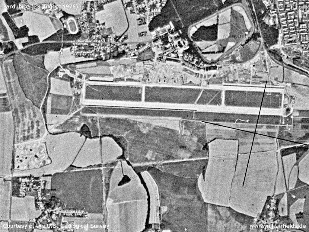
Pardubice Air Base on a US satellite image from 23 August 1976
Source: U.S. Geological Survey
Runways
Data for the year 1990:
- 09/27: 2500 m x 80 m
Radio beacons
Data for the year 1990:
- LOM: 481.5 "PK"
- LMM: 233 "P"
Radio communication
The call sign of the airfield was "PRAVEK" (198x).
According to western signals intelligence (SIGINT), the airfield was also called "Navigacni Punkt 260" by the Czechoslovak Air Force.
Units
30 BILP "Ostravsky": L-39ZA, Su-25K/UBK (1990)
Today
Use today
Air base.
Bibliography
- Ries, Karl; Dierich, Wolfgang: "Fliegerhorste und Einsatzhäfen der Luftwaffe" Motorbuch Verlag Stuttgart, 1993 - Allied map from 194x
 Follow mil-airfields on Facebook