For historical information only, do not use for navigation or aviation purposes!
| Coordinates | N520004 E0135823 (WGS84) Google Maps |
| Former East Germany (GDR) | District of Cottbus |
| Federal state | Brandenburg |
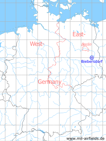
Germany during the Cold War Map
The history of the Cold War airfields: Biebersdorf
Location of airfield
1.7 km north of Biebersdorf.
Usage during the Cold War
Helipad 3022 for Microwave site 2 (RFB-2) of former East German Air Force (NVA LSK/LV).
Use today
Closed.
Runways, taxiways, aprons
Dimensions: 300 m x 250 m,
main takeoff and landing direction: 270°,
surface: agricultural area,
only usable with crop damage,
capacity: 1 helicopter.
main takeoff and landing direction: 270°,
surface: agricultural area,
only usable with crop damage,
capacity: 1 helicopter.
Telephone
Stabsnetz S1 9446-88
Airspace and procedures
Usable at day during good weather conditions.
Alert time: 60 minutes.
Alert time: 60 minutes.
Obstacles
Antenna: direction 90°, distance 800 m, height 30 m.
Airfields in the vicinity
- 053°/3km Krugau: Helipad 3036 (HSLP / HLP 3036)
- 284°/16km Brand: Air Base (Brand-Briesen, Аэродром Бранд)
- 009°/18km Limsdorf: Helipad 3011 (HSLP 3011)
- 353°/19km Kehrigk: Helipad 3071 (HSLP / HLP 3071)
- 221°/20km Alteno: Airfield (Luckau)
 Follow mil-airfields on Facebook