For historical information only, do not use for navigation or aviation purposes!
| Coordinates | N493349 E0082748 (WGS84) Google Maps |
| Elevation | 309 ft |
| Federal state | Baden-Württemberg |
| Location indicator | DBCB (195x), EDOR (196x-1995), ETOR (1995-201x) |
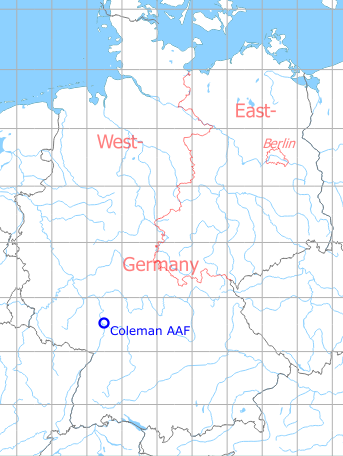
Germany during the Cold War Map
The history of the Cold War airfields: Mannheim
Location
Federal State of Baden-Württemberg.
During the Cold War
Use
US Army airfield.
In the 1970s
Situation
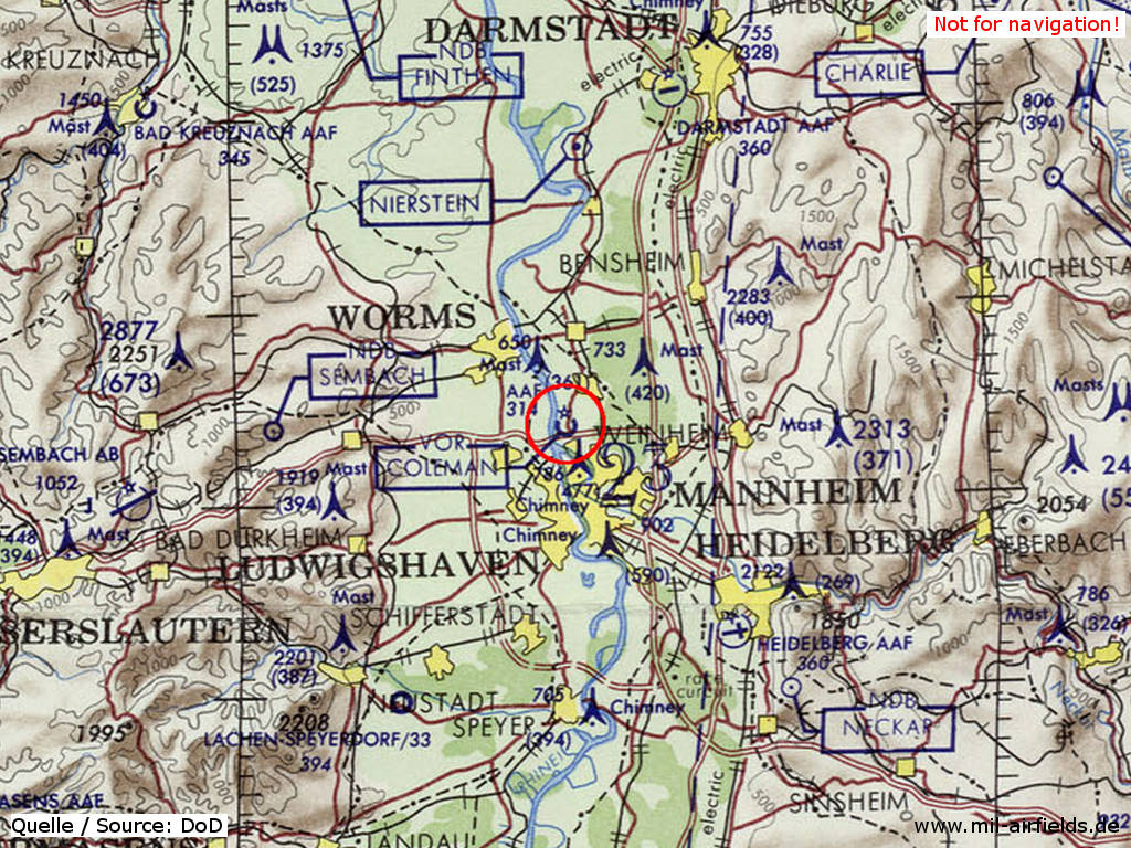
Mannheim Coleman Army Airfield (AAF) on a map of the US Department of Defense from 1972
Source: ONC E-2 (1972), Perry-Castañeda Library Map Collection, University of Texas at Austin
Overview
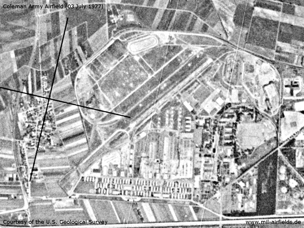
Mannheim Coleman Army Airfield AAF on a US satellite image from 03 July 1977
Source: U.S. Geological Survey
In the 1980s and early 1990s
Overview
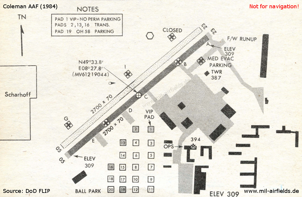
Coleman AAF in 1984
Runways
- 05/23: 822 m (2700 ft) Asphalt
Radio beacons
- NDB: 334 "HDM", 060° / 3.2 NM to field
- TVOR: 109.0 "HDM", at field
Radio communication
- Heidelberg Approach 260.2, 143.75,
- GCA 342.8, 315.0, 143.7, 123.3, 37.5
- Tower 248.6, 264.4, 142.65, 122.1, 31.8, 40.8
- Ground 312.3, 141.3
- Metro 140.3
- Dispatcher 30.6
Today
Use
Closed. Now US Army storage area.
Airfields in the vicinity
- 324°/14km Worms: US Army Heliport AHP (US Army Heliport AHP)
- 144°/23km Heidelberg: Army Air Field AAF (Army Heliport AHP, Pfaffengrund)
- 133°/26km Heidelberg: Königstuhl Radio Relay Station Helicopter Landing Site
- 015°/33km Darmstadt: Army Airfield AAF (Griesheim, August-Euler-Flugplatz)
- 339°/34km Dexheim: Anderson Barracks Army Heliport AHP (Army Heliport AHP)
Categories
Military Airfields GermanyMilitary Airfields in former West GermanyUS Army Airfields and Heliports in GermanyRecommended
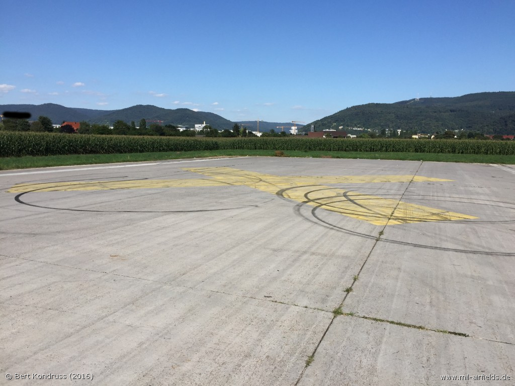
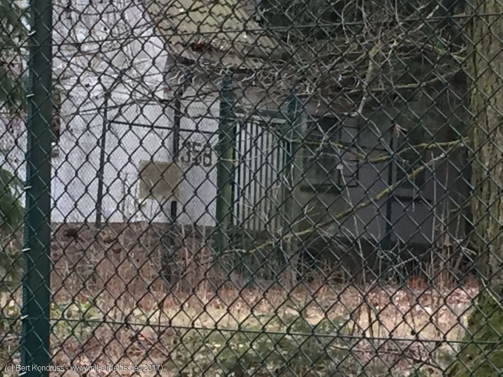
Image credits are shown on the respective target page, click on the preview to open it.
 Follow mil-airfields on Facebook