For historical information only, do not use for navigation or aviation purposes!
| Coordinates | N520936 E0140058 ca (WGS84) Google Maps |
| Former East Germany (GDR) | District of Frankfurt/O |
| Federal state | Brandenburg |
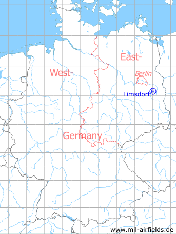
Germany during the Cold War Map
The history of the Cold War airfields: Limsdorf
Location of airfield
In Limsdorf village.
Usage during the Cold War
Helipad 3011 for Radio Transmission Station 1 (FuSA-1) of former East German Air Force (NVA LSK/LV).
Use today
Closed.
Runways, taxiways, aprons
Dimensions: 70 m x 60 m,
main takeoff and landing direction: 220°,
surface: Grass (Athletic field),
capacity: 1 helicopter.
main takeoff and landing direction: 220°,
surface: Grass (Athletic field),
capacity: 1 helicopter.
Telephone
Stabsnetz S1 2734-855
Airspace and procedures
Usable at day during good weather conditions.
Alert time: 40 minutes.
Alert time: 40 minutes.
Obstacles
None.
Airfields in the vicinity
- 282°/5km Kehrigk: Helipad 3071 (HSLP / HLP 3071)
- 331°/9km Storkow: Helipad 1027 (HSLP 1027)
- 000°/11km Reichenwalde: Helipad 3120 (HSLP 3120)
- 036°/13km Wilmersdorf: Helipad 3023 (HSLP / HLP 3023)
- 100°/13km Ranzig: Helipad 3003 (Beeskow)
- 076°/16km Beeskow: Agricultural Airfield
- 181°/16km Krugau: Helipad 3036 (HSLP / HLP 3036)
- 189°/18km Biebersdorf: Helipad 3022 (HSLP / HLP 3022)
- 349°/18km Markgrafpieske: SA-2 Missile Site (Helipad 3110)
- 011°/19km Fürstenwalde: Helipad 3002 (HSLP / HLP 3002)
- 330°/19km Spreenhagen: Helipad 1013 (HSLP / HLP 1013)
- 326°/20km Spreenhagen: Highway Strip (Autobahnabschnitt ABA, Friedrichshof)
- 266°/21km Kleinköris / Löpten: Airfield (Löpten, Klein Köris)
 Follow mil-airfields on Facebook