For historical information only, do not use for navigation or aviation purposes!
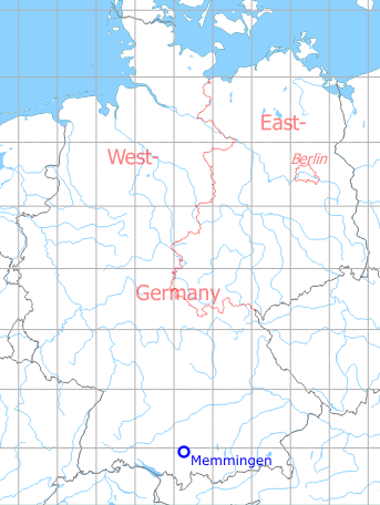
| Coordinates | N475920 E0101421 (WGS84) Google Maps |
| Elevation | 2079 ft |
| Federal state | Bayern (Bavaria) |
| Location indicator | EDSM (-1995), ETSM (1995-2002), EDJA |
Germany during the Cold War Map
The history of the Cold War airfields: Memmingen
Contents
Page 1: From the beginnings until today ← you are here
Page 2: Pictures 2017 Barracks JaboG 34
Page 3: Pictures 2017 Airport
Page 4: Memmingen Air Base
During World War II
Use
Luftwaffe airbase.
Situation
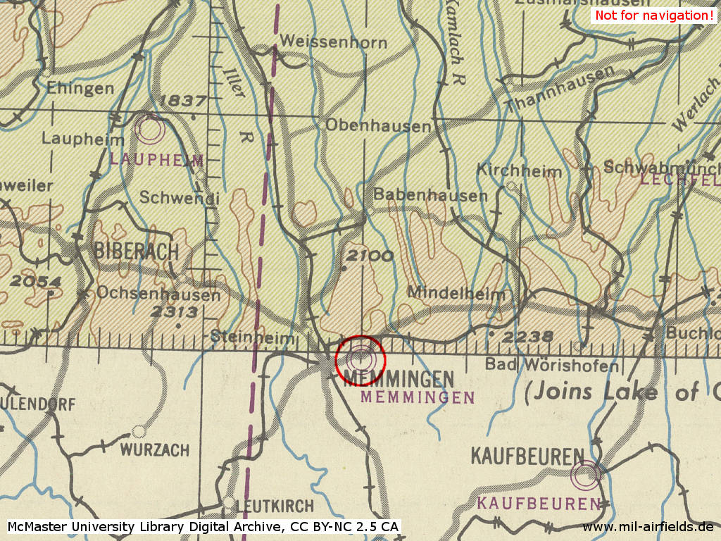
Memmingen Air Base in World War II on a US map from 1944
Source: McMaster University Library Digital Archive, Lizenz: Creative Commons Attribution-NonCommercial 2.5 CC BY-NC 2.5 CA
During the Cold War
Use
Luftwaffe air base.
In the 1950s
Overview
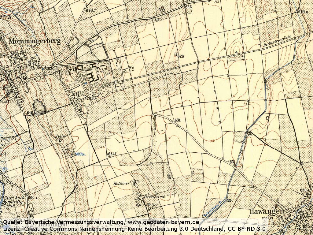
Memmingen airfield on a map in 1956 - Only buildings and rough structures are shown. Also recognizable is the railway spur track coming from the north-east from Ungerhausen.
Airfield Survey in 1953
In 1953 and 1954, survey tours took place in West Germany to identify future air bases for the German Air Force. Old airfields were visited and assessed, if a field can be used, if technical facilities and housing are available und if an extension of the runway up to 2500 m (8203 ft) or 3000 m (9843 ft) is possible.
For Memmingen it was found: The area north of the runway is used as sheep-pasture and the area south as farmland. The movement area has significant bumps, mostly caused by bomb craters, which are leveled out only in the south.
The runway in direction 065°/245° with a length of 1400 m x 80 m (4593 ft x 262 ft) is destroyed to 30% from bomb craters and later detonations. An 400 m (1312 ft) long extension stub was under construction, a gravel-ballast course exists. On this axis, an extension to 3000 m (9843 ft) is possible without limitations.
In the 1960s
Situation
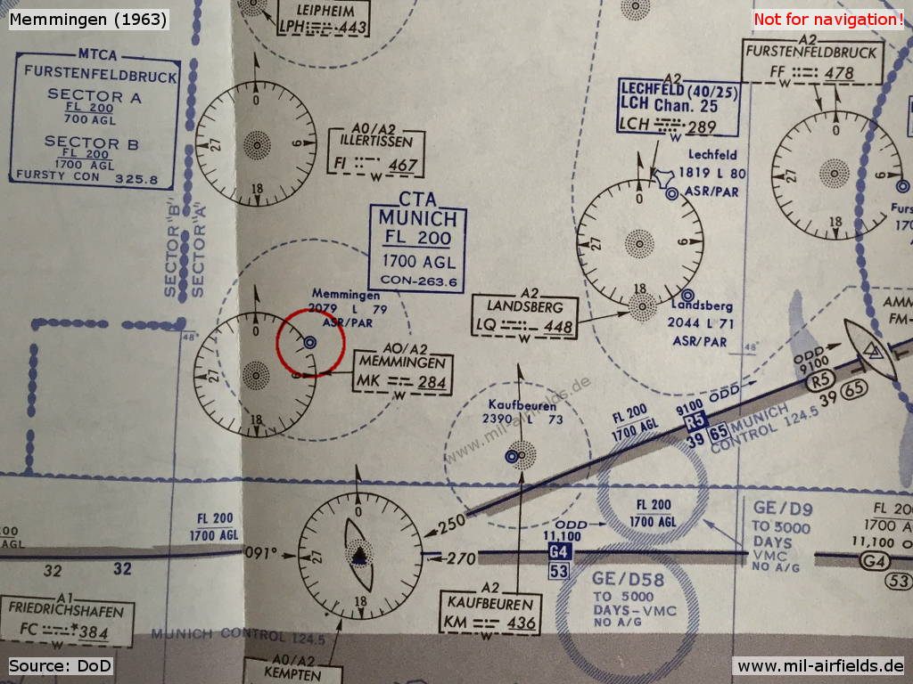
Map with Memmingen Air Base from 1963
Source: US DoD
In the 1970s
Situation
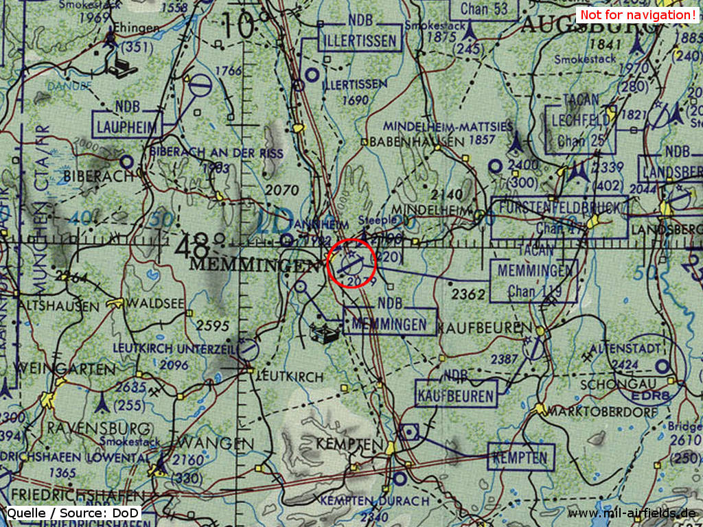
Memmingen Air Base on a map of the US Department of Defense from 1981
Source: ONC F-2 (1981), Perry-Castañeda Library Map Collection, University of Texas at Austin
Overview
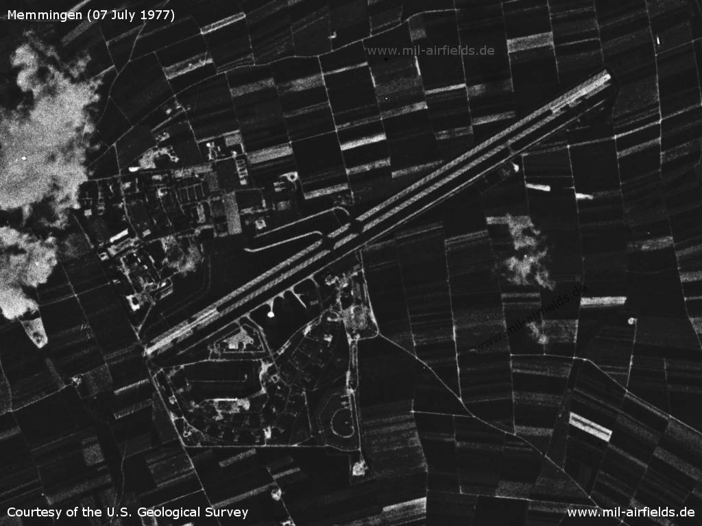
Memmingen Air Base on a US satellite image from 07 July 1977
Source: U.S. Geological Survey
Radio beacons
Data for the year 1971:
- NDB: 284 "MEM", 062°/4.5NM to fld
- TACAN: CH119 "MEM", at field
Radio communication
HF call signs:
- JaboG 34: DHK 31
- US special weapons: Cemetery 63 (?)
(Source: A 043/1/005 from 1973).
- JaboG 34: DHK 31
- US special weapons: Cemetery 63 (?)
(Source: A 043/1/005 from 1973).
In the 1980s and early 1990s
Overview
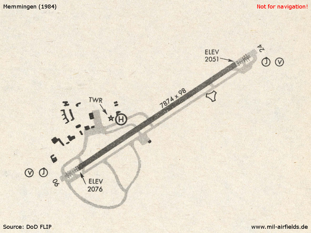
Memmingen in 1984
Source: US DoD
Runways
Data for the year 1990:
- 06/24: 2400 m x 30 m Asphalt
Radio beacons
Data for the year 1990:
- TACAN: CH119 "MEM", at field
Radar
ASR/PAR (1990).
Telephone
Number in the Bundeswehr telephone network: BwKz 5925 (1998).
Units
JaboG 34 Tornado IDS (1990).
Real property
Bundeswehr installation ID: 663700.
Today
Use
Regional airport (EDJA).
Overview
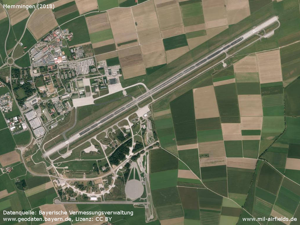
Aerial image (2018)
Source: Datenquelle: Bayerische Vermessungsverwaltung www.geodaten.bayern.de, License: Creative Commons Namensnennung 3.0 Deutschland (CC BY 3.0 DE), Aerial image Memmingen Allgäu Airport, Germany 2018
Pictures 2017
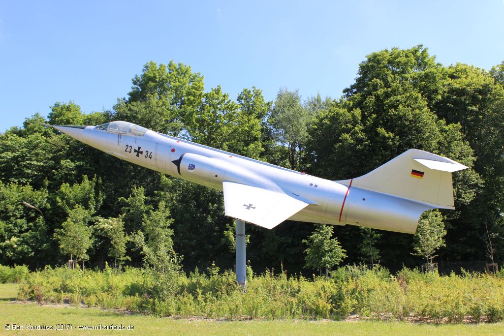
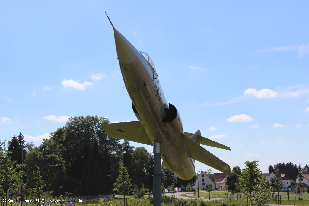
RF-104G Starfighter as Gate Guard at Memmingen Airport
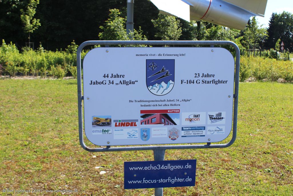
44 years Fighter Bomber Wing 34 (JaboG 34) "Allgäu", 23 years F-104G Starfighter
The serial 23+34 is based on the year numbers, in fact this machine flew as 24+17
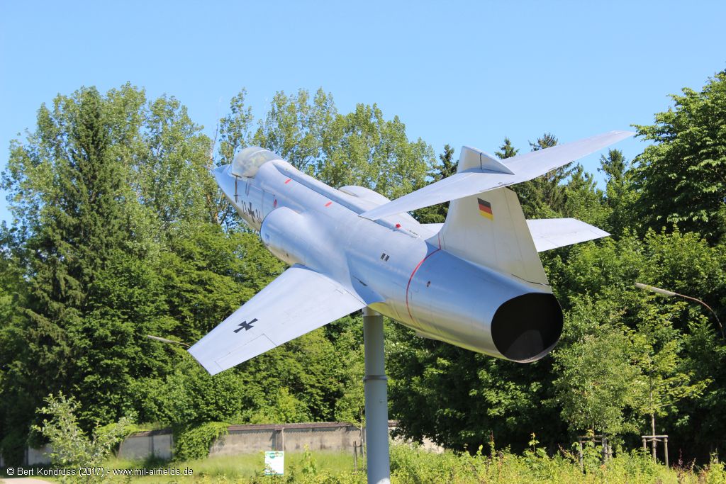
Although the reconnaissance variant RF-104G was not stationed in Memmingen, the monument still looks excellent.
Contents
Page 1: From the beginnings until today ← you are here
Page 2: Pictures 2017 Barracks JaboG 34
Page 3: Pictures 2017 Airport
Page 4: Memmingen Air Base
 Follow mil-airfields on Facebook