For historical information only, do not use for navigation or aviation purposes!
| Coordinates | N543257 E0131920 (WGS84) Google Maps |
| Former East Germany (GDR) | District of Rostock |
| Federal state | Mecklenburg-Vorpommern (Mecklenburg-Western Pomerania) |
Germany during the Cold War Map
The history of the Cold War airfields: Neuenkirchen
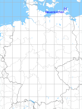
Location of airfield
800 m northwest of Neuenkirchen.
Usage during the Cold War
Helipad 3316 for Anti-aircraft missile unit 4325 (FRA-4325) of former East German Air Force (NVA LSK/LV).
Use today
Closed.
Runways, taxiways, aprons
Dimensions: 60 m x 60 m,
main takeoff and landing direction: 270°,
surface: grass, loamy ground,
capacity: 1 Helicopter.
main takeoff and landing direction: 270°,
surface: grass, loamy ground,
capacity: 1 Helicopter.
Telephone
Stabsnetz S1 6428-531
Airspace and procedures
Usable at day during good weather conditions.
Alert time: 30 minutes.
Alert time: 30 minutes.
Obstacles
None.
Do you have historical material (stories, maps, photos) or current photos of Neuenkirchen Helipad 3316 or of another airfield - to be published on mil-airfields.de? Then I'm glad to hear from you: Contact
Airfields in the vicinity
- 016°/15km Putgarten: Helipad 3366 (HSLP / HLP 3366)
- 237°/23km Barhöft: Anti-aircraft Missile Unit 4331 (FRA-4331) (Helipad 3318)
- 218°/25km Parow: Airfield
 Follow mil-airfields on Facebook