Fürth: Dambach Housing Area Helipad
For historical information only, do not use for navigation or aviation purposes!
| Coordinates | N492759 E0105752 ca. (WGS84) Google Maps |
| Elevation | 1016 ft |
| Federal state | Bayern (Bavaria) |
Germany during the Cold War
The history of the Cold War airfields: Fürth Dambach Housing Area Helipad
Location of airfield
Dambach is located south of Fürth. The helipad was within the Dambach Housing Area, the exact location is unknown.
Usage during the Cold War
US Army helipad, probably until the late 1960s.
Current usage
Closed.
Airspace and procedures
The helipad was unattended.
Restricked use, for official business only.
Operated from sunrise to sunset.
Arrivals in direction 090°, departures in 270°.
Traffic pattern to the west in 1,500 ft.
Airfields in the vicinity
- 335°/2km Fürth: Industrieflughafen Airport (Nuremberg-Fürth Industriehafen Airfield, Fürth Industrie)
- 352°/3km Fürth: Army Airfield AAF (Nürnberg-Fürth Airport, Atzenhof, Monteith Barracks Army Heliport Furth)
- 113°/12km Nürnberg: Soldiers Field Army Airfield (AAF, Nurnberg New, Great Road)
- 019°/14km Erlangen: Army Airfield AAF (Ferris Barracks Army Heliport AHP)
- 120°/18km Feucht: Army Airfield AAF (Feucht Army Airfield AAF)
Categories
Military Airfields GermanyMilitary Airfields in former West GermanyUS Army Airfields and Heliports in GermanyRecommended
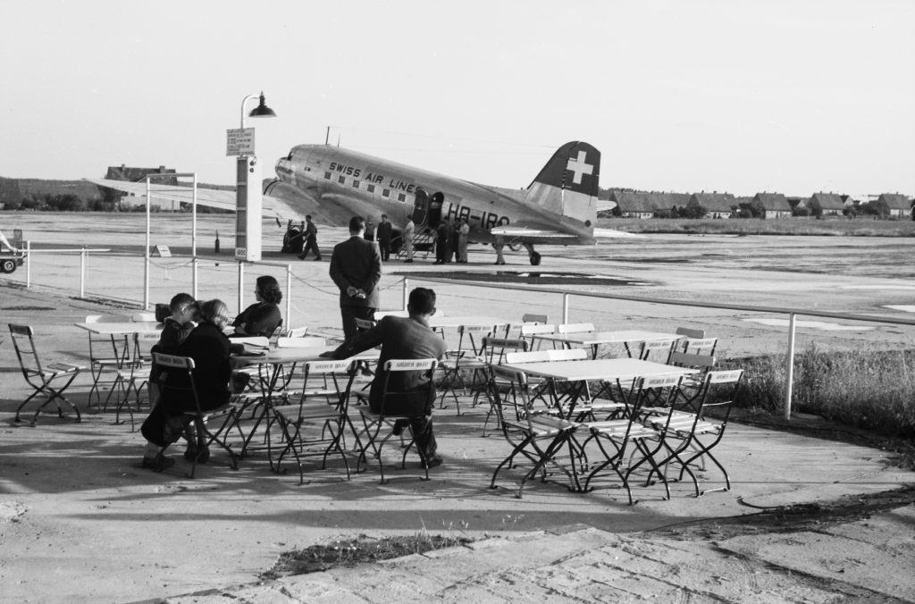
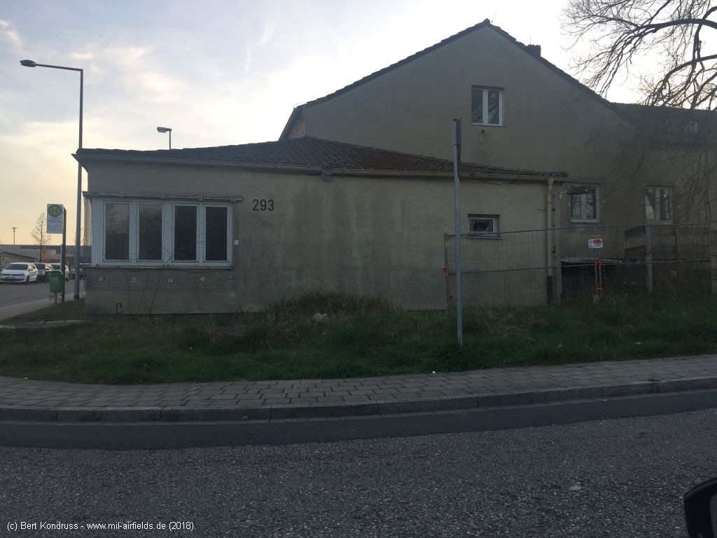
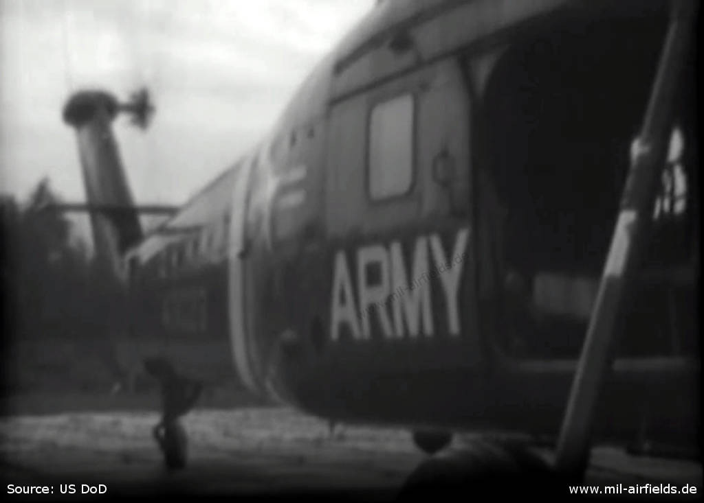
Image credits are shown on the respective target page, click on the preview to open it.