Lemwerder: Airfield
For historical information only, do not use for navigation or aviation purposes!
| Coordinates | N530833 E0083726 (WGS84) Google Maps |
| Federal state | Niedersachsen (Lower Saxony) |
| Location indicator | DDLM, EDWD |
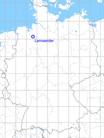
Germany during the Cold War Map
The history of the Cold War airfields: Lemwerder
Contents
During World War II
Situation
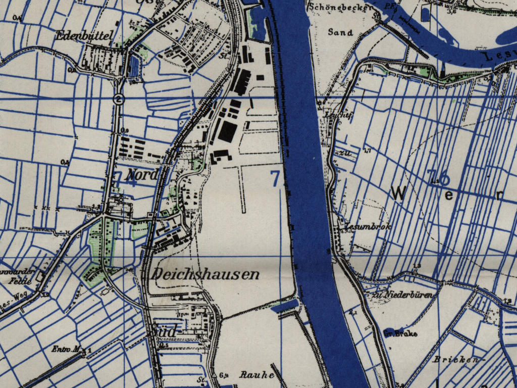
Lemwerder Airfield in World War II on a US map from 1943
Source: McMaster University Library Digital Archive, License: Creative Commons Attribution-NonCommercial 2.5 CC BY-NC 2.5 CA
Overview
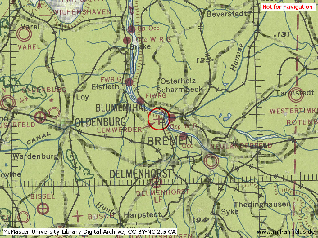
Lemwerder Airfield on a US map from 1951 - The aerodrome is located at the Weser river.
Source: AMS M841 GSGS 4414, Courtesy Harold B. Lee Library, Brigham Young University
During the Cold War
Use
Aircraft plant. Also used by US Army helicopter.
In the 1960s
Use
Vereinigte Flugtechnische Werke GmbH (VFW)
Overview
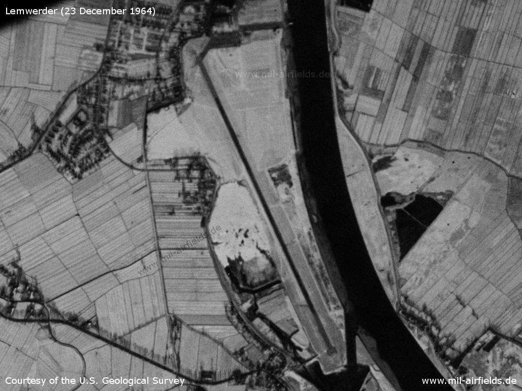
Lemwerder Airfield on a US satellite image from Wednesday 23 December 1964 - The landscape is snow-covered, the runway and the apron are cleared.
Source: U.S. Geological Survey
Runways
16/34, with web jet barriers.
Radio beacons
- NDB Weser: 277 "WSR", 215°/14.0 NM to field
Radio communication
- Bremen Approach Control 120.1, 263.4
- Nordholz Approach Control 350.7
- Lemwerder Tower 122.0, 263.4, 305.3, 257.8, 257.2
In the 1970s
Situation
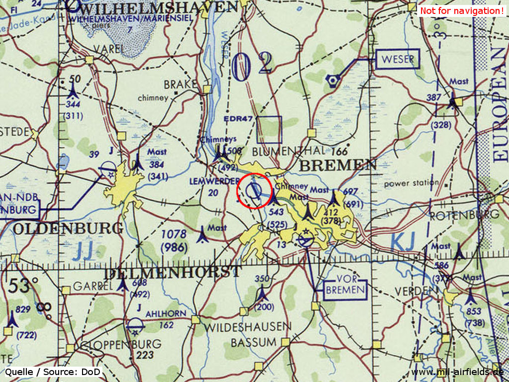
Lemwerder airfield near Bremen on a map of the US Department of Defense from 1972
Source: US DoD
In the 1980s
Overview
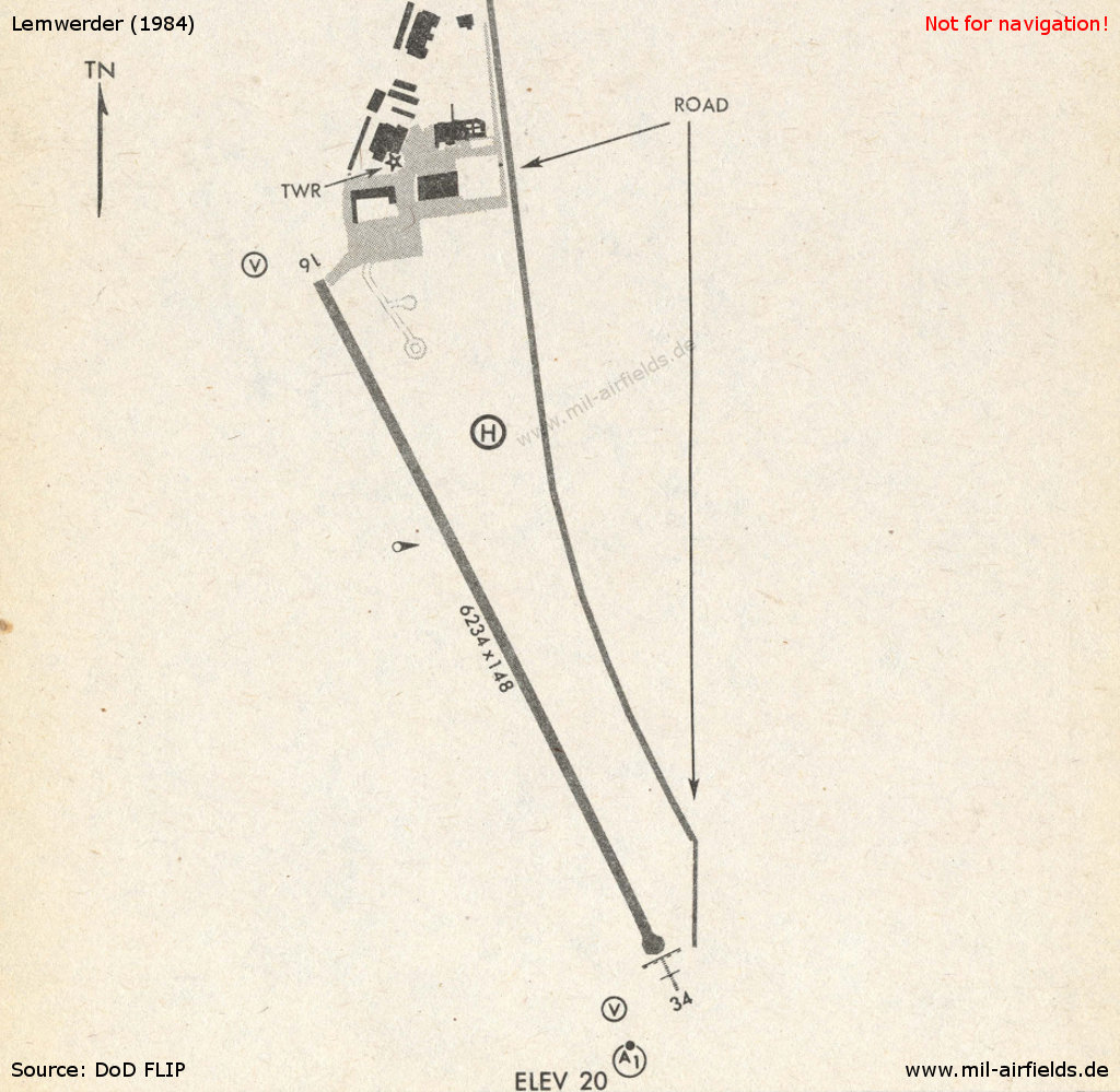
Lemwerder in 1984
Source: US DoD
Runways
- 16/34: 1900m x 45m Asphalt
Lights
Aerodrome beacon white-green.
Radio beacons
- LLZ34: 111.3 "ILE"
- Locator/Outer Marker: 276.5 "BW"
Radio communication
- Lemwerder Tower 122.35, 339.05, 362.95
- Lemwerder Ops (2nd AD FLT OPS) 30.1
Telephone
US Army 2nd Armored Division (FWD) Aviation Ops 0421-672516
Units
2nd AD (3rd Bde, 7th USAR) 2 UH-1H, 4 OH-58A; X 2-1 Cav (7th USAR) 4 AH-1F, 6 OH-58C
Today
Use
Closed.
Airfields in the vicinity
Categories
Military Airfields GermanyMilitary Airfields in former West GermanyUS Army Airfields and Heliports in GermanyRecommended
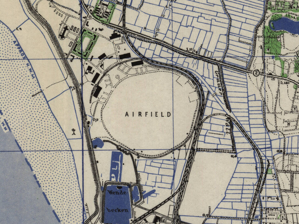
Image credits are shown on the respective target page, click on the preview to open it.
Contents
 Follow mil-airfields on Facebook