For historical information only, do not use for navigation or aviation purposes!
| Coordinates | N505837 E0111453 (WGS84) Google Maps |
| Former East Germany (GDR) | District of Erfurt |
| Federal state | Thüringen (Thuringia) |
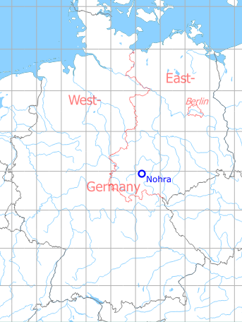
Germany during the Cold War Map
The history of the Cold War airfields: Nohra
General
Until 1945, Nohra was used as a Luftwaffe air base (Fliegerhorst). After the World War II, the airfield became a soviet helicopter base in East Germany. At the time of the withdrawal in the early 1990s, helicopters Mi-2, Mi-6, Mi-8 and Mi-24 were flown in various versions. The field had a short paved runway, a hangar and a radio beacon. Today the installation is closed and largely demolished.
During World War II
Use
Luftwaffe airbase.
Overview
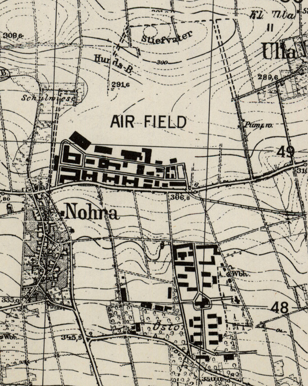
Nohra airfield on a US map from 1952
Source: AMS M841 GSGS 4414, Courtesy Harold B. Lee Library, Brigham Young University
During the Cold War
Use
Soviet heliport until 1992.
History
- September 6th, 1988
Observation by a team of the US Military Liaison Mission: "At Weimar-Nohra Soviet Airfield, on 6 September 1988, two hours of airfield operations, including loading, refueling aircraft and take-offs and landings of HIND and HIP were observed on an exceptionally clear day. Of particular significance were the vertical take-offs and landings of HING G1. Previously, it was believed HIND always used a rolling take-off." (Source: USMLM 1988)
In the 1970s
Situation
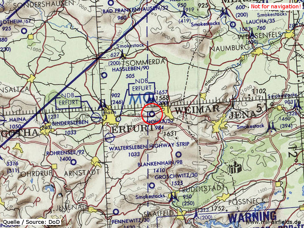
Nohra Airfield on a map of the US Department of Defense from 1972 - The field is shown with an unpaved runway (small circle), which has a length of approx. 1.585 m (52 = 5.200 feet). The elevation / height above mean sea level is 984 feet.
Source: ONC E-2 (1972), Perry-Castañeda Library Map Collection, University of Texas at Austin
Overview
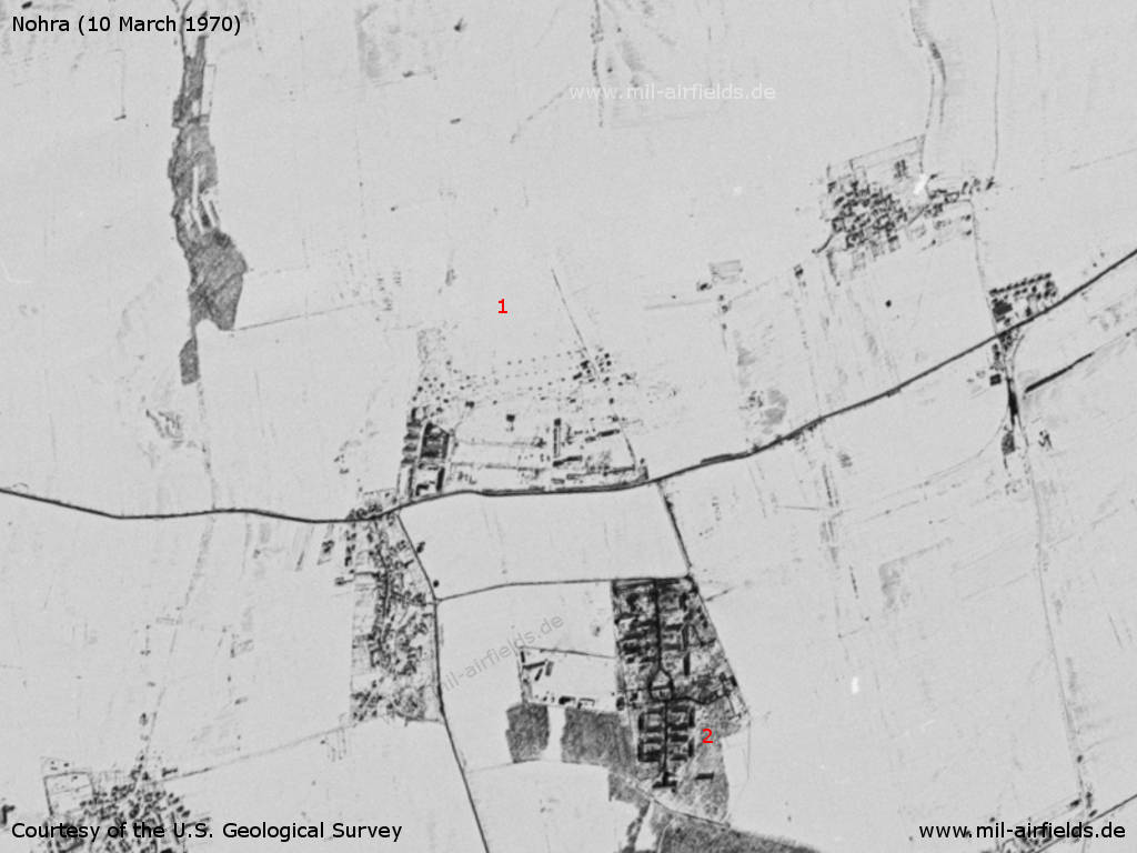
Nohra Airfield on a US satellite image from Tuesday 10 March 1970 - The landscape is snow-covered, the helicopter airfield (1) is hardly visible. The barracks (2) are well visible.
Source: U.S. Geological Survey
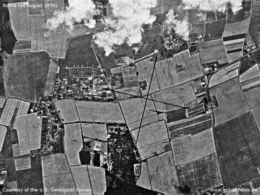
Satellite image from Sunday 08 August 1976
Source: U.S. Geological Survey
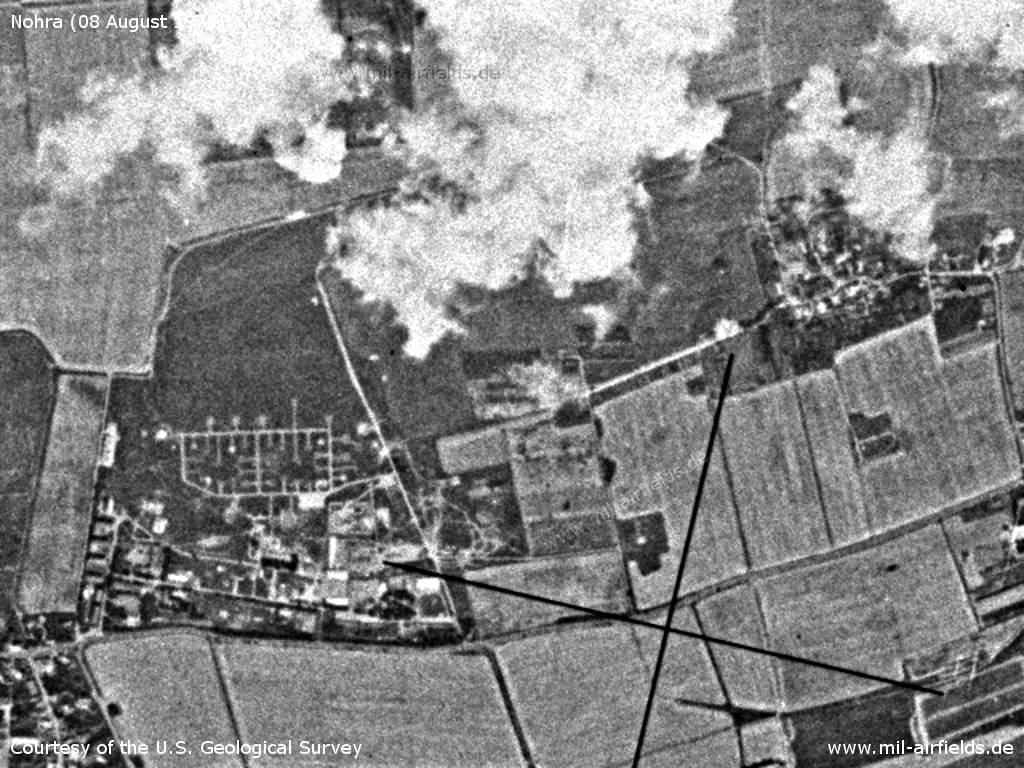
Airfield
Source: U.S. Geological Survey
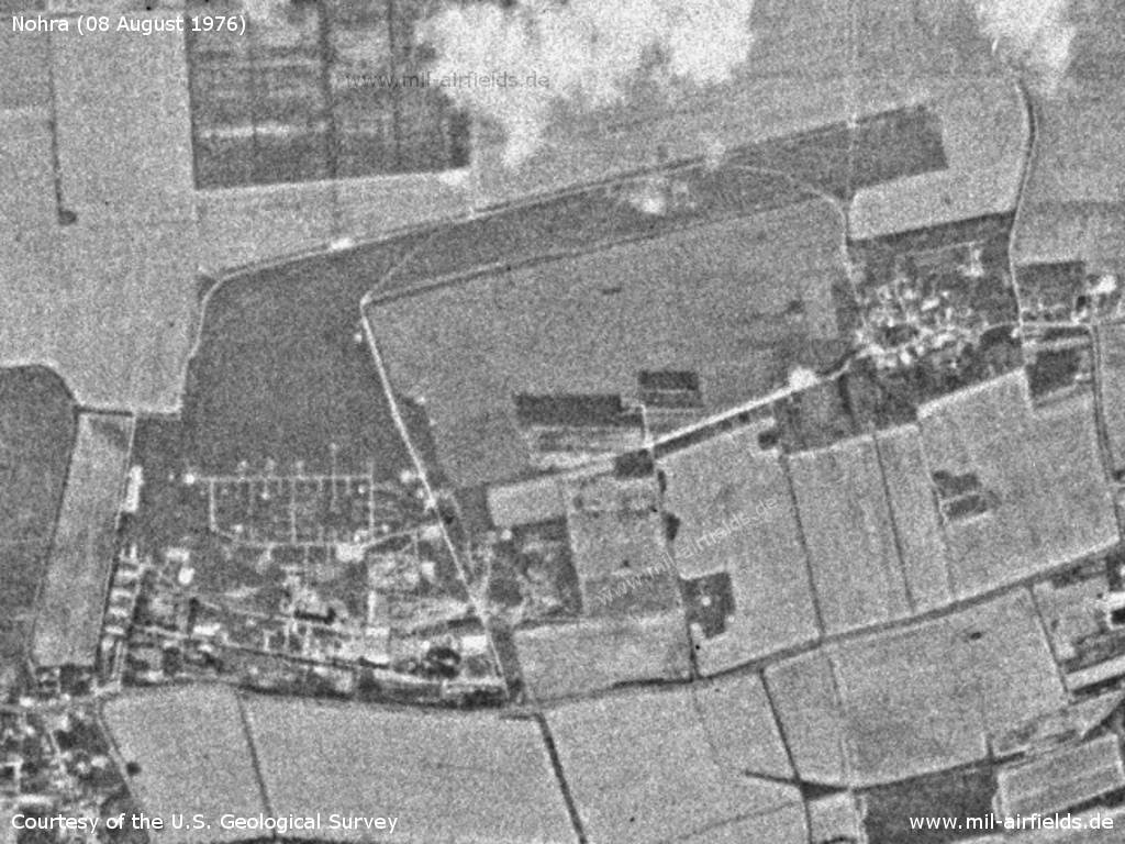
Airfield with less clouds, but also less contrast
Source: U.S. Geological Survey
In the 1980s and early 1990s
Runways
- 06/24: 450 m Concrete
Radio beacons
- LOM 24: 860 "ZQ"
Radio communication
Call sign: VOJEVODA (1990)
Units
1990: ? OVE (Mi-2, Mi-6, Mi-8, Mi-24); 336 OBVP (Mi-8, Mi-24)
Images
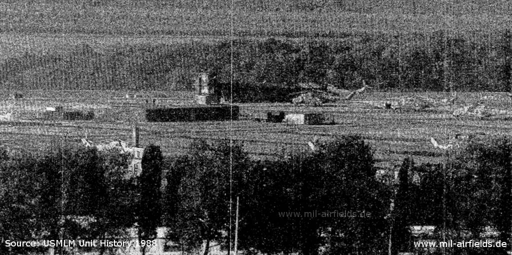
Weimar-Nohra, Airfield Operations in 1988 - Some Mi-24 HIND helicopters can be guessed.
Source: USMLM Unit History 1988
Today
Use
Closed.
Overview
Source: GDI-Th, Freistaat Thüringen, TLVermGeo, www.geoportal-th.de
Datenlizenz Deutschland – Namensnennung – Version 2.0, www.govdata.de/dl-de/by-2-0
Datenlizenz Deutschland – Namensnennung – Version 2.0, www.govdata.de/dl-de/by-2-0
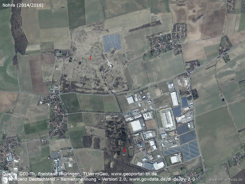
Aerial image (2014/2016) - 1: former airfield; 2: former barracks.
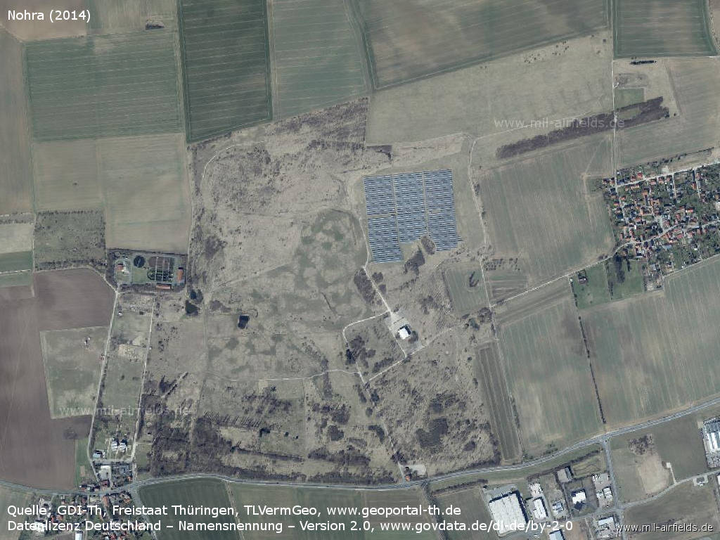
Former airfield
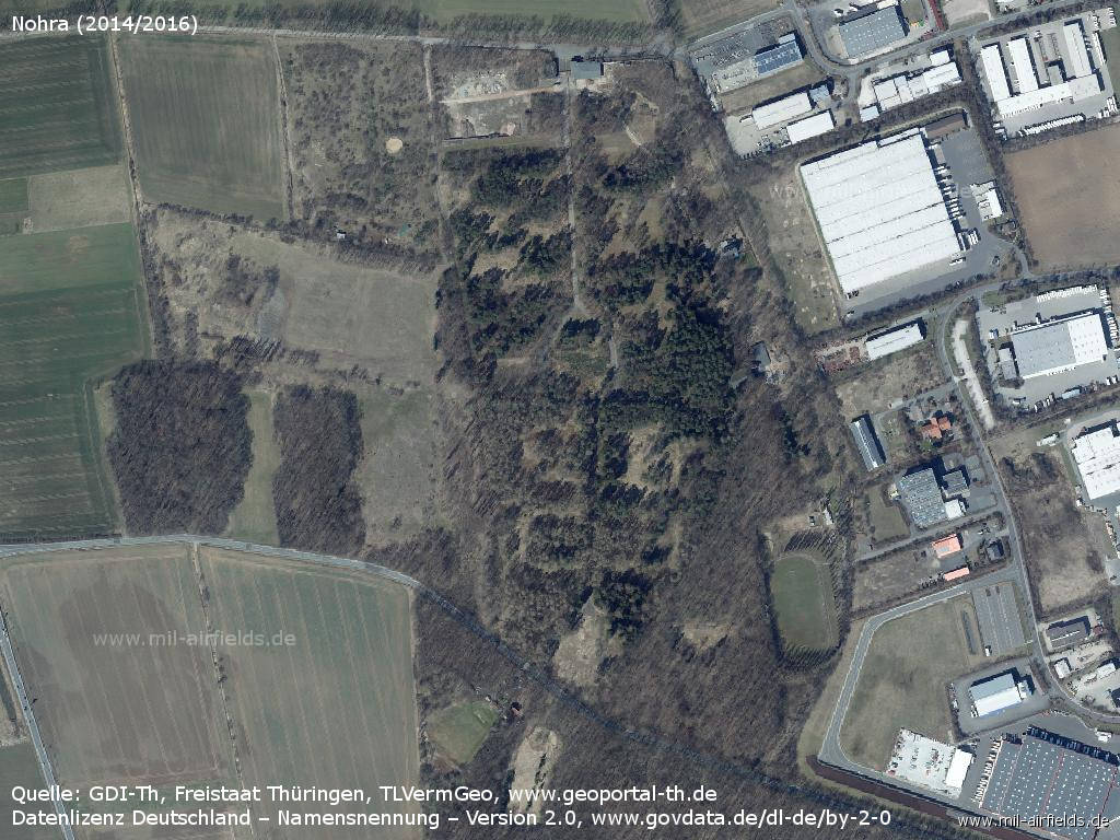
Former Nohra barracks
Sources
- https://lib.byu.edu/collections/german-maps/ - German Maps (Topographische Karte 1:25,000)
- https://www.geoportal-th.de/ - Geoportal Thüringen
Links
- https://www.flugplatz-nohra.de/ - Flugplatz Nohra e.V.
- http://www.fliegerhorst-nohra.de/ - Flugplatz Weimar-Nohra
Bibliography
- United States Military Liaison Mission: "Unit History 1988"
Airfields in the vicinity
- 041°/9km Großobringen: Helipad 3012 (HSLP / HLP 3012)
- 345°/15km Sprötau: Helipad 3140 (HSLP / HLP 3140)
- 286°/16km Erfurt: Erfurt North Airport (Roter Berg Airfield)
- 150°/18km Blankenhain: Airfield (Kottenhain)
- 271°/20km Erfurt: Bindersleben Airport (Fliegerhorst Erfurt-Bindersleben, Аэродром Эрфурт, Flughafen Erfurt-Weimar)
Categories
Military Airfields GermanyMilitary Airfields in former East GermanyAirfields of the Soviet Forces in GermanyRecommended
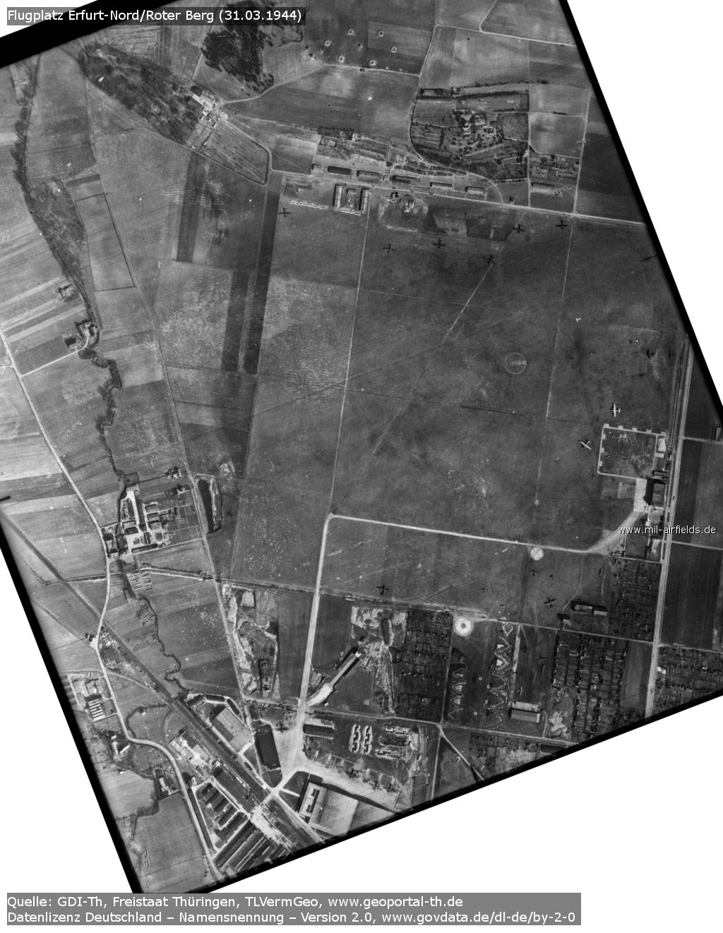
Image credits are shown on the respective target page, click on the preview to open it.
 Follow mil-airfields on Facebook