Retzow: Airfield
For historical information only, do not use for navigation or aviation purposes!
| Coordinates | N532125 E0121207 (WGS84) Google Maps |
| Former East Germany (GDR) | District of Schwerin |
| Federal state | Mecklenburg-Vorpommern (Mecklenburg-Western Pomerania) |
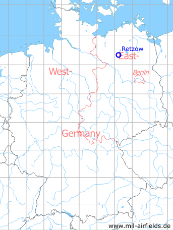
Germany during the Cold War Map
The history of the Cold War airfields: Retzow
Usage during the Cold War
Soviet reserve airfield.
Use today
Closed.
Situation
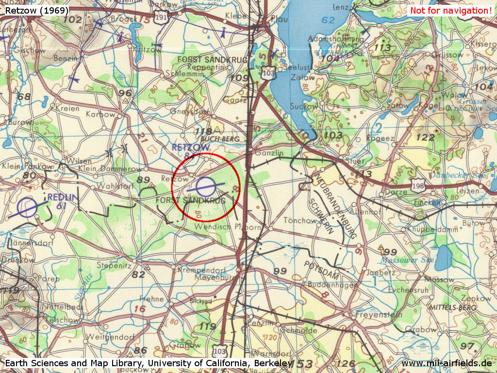
Retzow Airfield on a US map from 1969 - (Source: Earth Sciences and Map Library, University of California, Berkeley)
Runways
Data for the year 1990:
- 08/26: 2300 m Grass
Radio beacons
Data for the year 1990:
- LOM26: 1125 "WS"
- LMM26: 554 "W"
Radio communication
Call sign: BELOK.
Do you have historical material (stories, maps, photos) or current photos of Retzow Airfield or of another airfield - to be published on mil-airfields.de? Then I'm glad to hear from you: Contact
Airfields in the vicinity
- 129°/14km Freyenstein: Agricultural Airfield
- 152°/17km Rohlsdorf: Helipad 3355 (HSLP / HLP 3355)
- 197°/19km Steffenshagen: Helipad 3348 (HSLP / HLP 3348)
- 075°/23km Groß Kelle: Agricultural Airfield
- 256°/26km Ziegendorf: Helipad 3346 (HSLP / HLP 3346)
- 129°/27km Wittstock: Air Base (Wittstock/Dosse, Alt Daber, Аэродром Витшток)
- 304°/28km Parchim: Helipad 3340 (HSLP / HLP 3340)
- 286°/29km Parchim: Airfield (Schwerin-Parchim)
 Follow mil-airfields on Facebook