For historical information only, do not use for navigation or aviation purposes!
| Coordinates | N505040 E0105025 (WGS84) Google Maps |
| Former East Germany (GDR) | District of Erfurt |
| Federal state | Thüringen (Thuringia) |
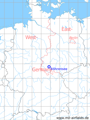
Germany during the Cold War Map
The history of the Cold War airfields: Röhrensee
During World War II
Use
Luftwaffe airfield.
Overview
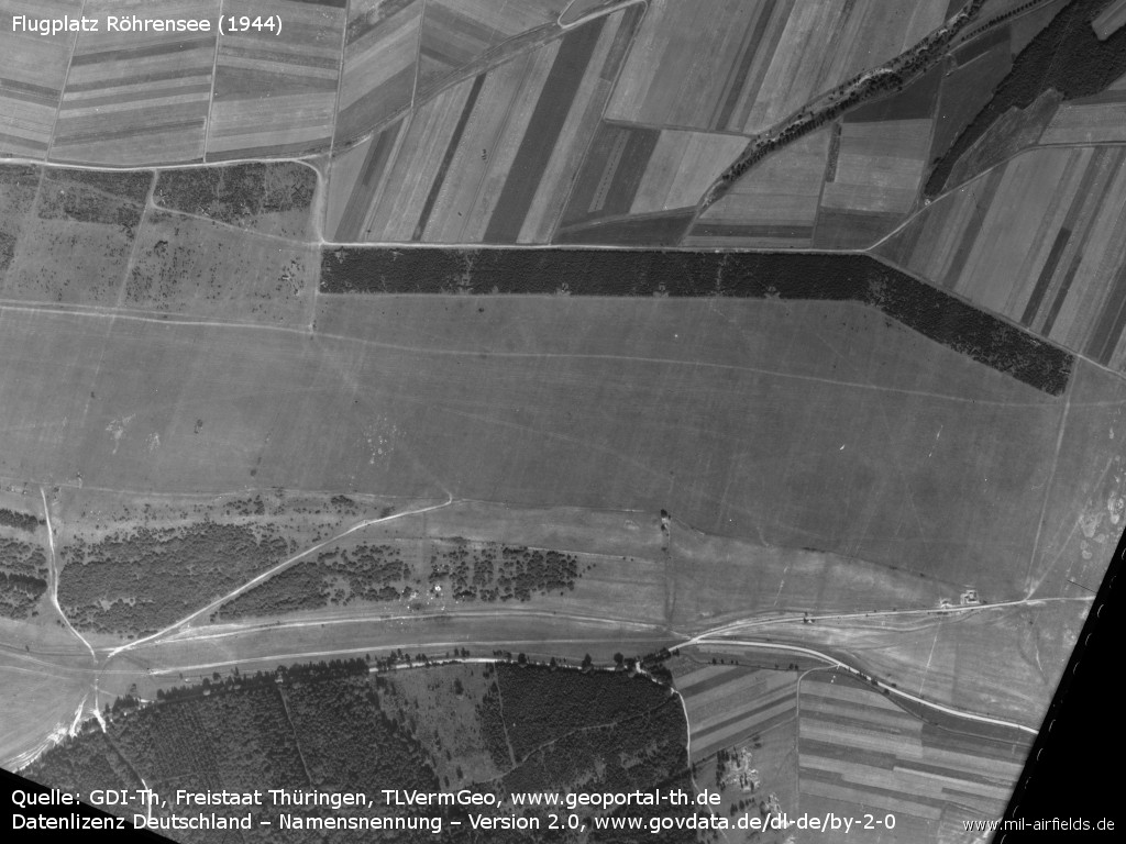
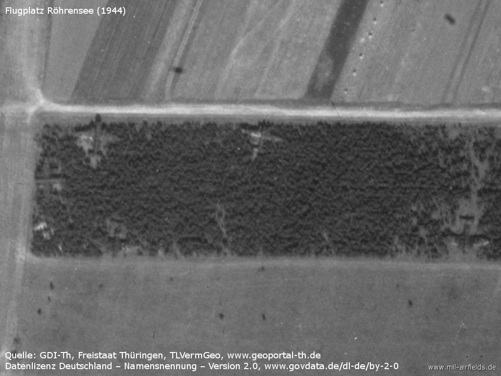
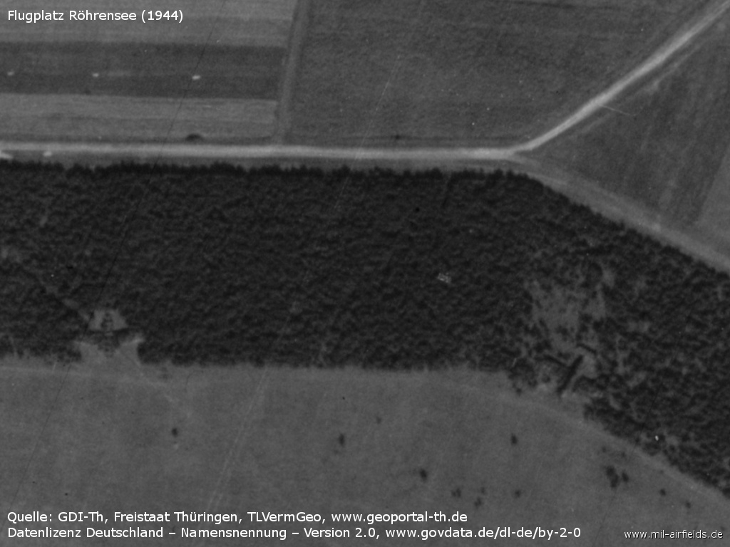
Aerial picture from 13 September 1944 - (Source: GDI-Th, Freistaat Thüringen, TLVermGeo, www.geoportal-th.de, Data licence Germany – attribution – version 2.0, www.govdata.de/dl-de/by-2-0, /Geo Thür/)
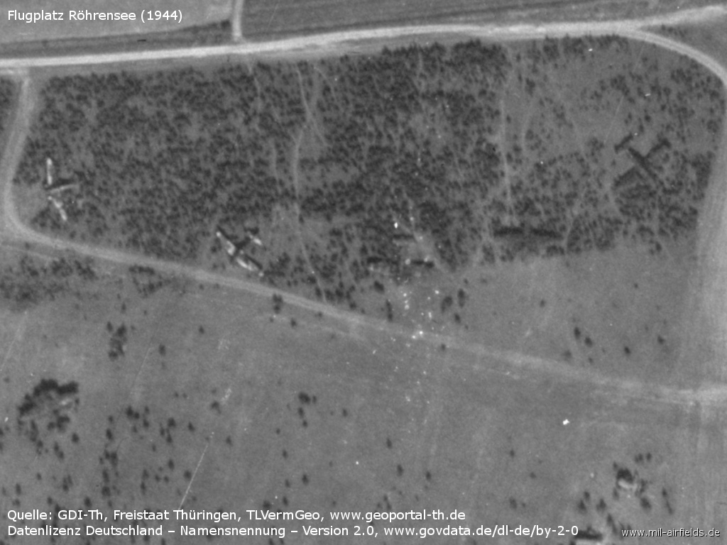
Enlargement: Parked aircraft in the wood immediately to the north of the field
Parked Junkers Ju-88?
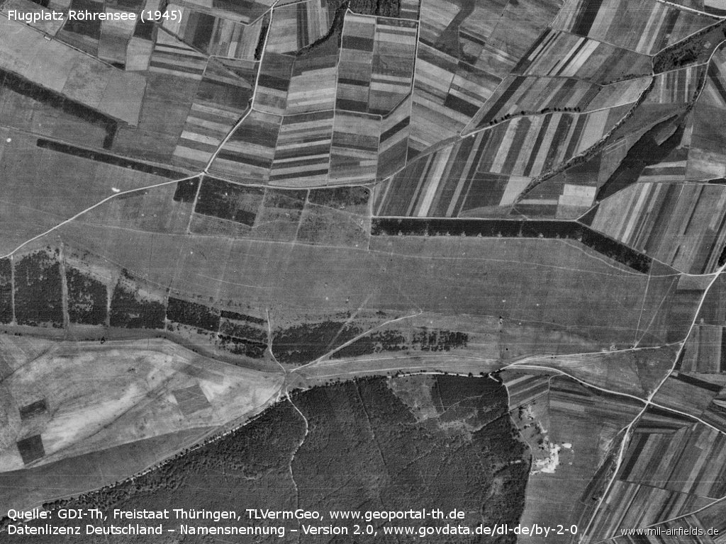
Overview of the airfield on an aerial picture from 22 July 1945
During the Cold War
Use
Soviet reserve airfield on training ground.
Situation
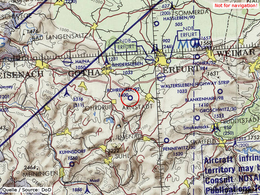
Röhrensee Airfield on a map of the US Department of Defense from 1972 - (ONC E-2 (1972), Perry-Castañeda Library Map Collection, University of Texas at Austin /PCL MC/)
Overview
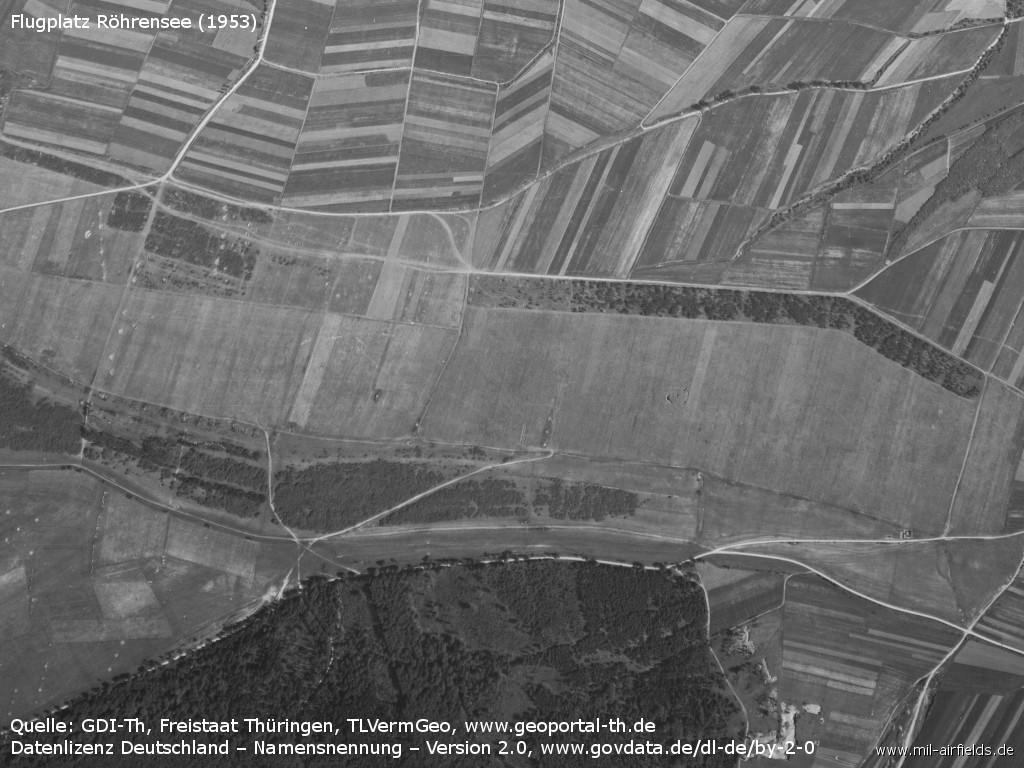
Aerial picture from 21 June 1953
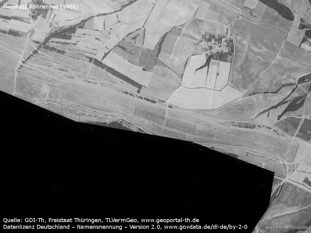
Aerial picture from 07 August 1986 - The area of the Ohrdruf training area immediately to the south has been censored in East Germany.
Runways
Data for the year 1990:
- 09/27: 2800 m Grass
Today
Use
Closed.
Links
- http://www.geoportal-th.de - Geoportal Thüringen
Airfields in the vicinity
- 335°/9km Seebergen: Helipad 3148 (HSLP / HLP 3148)
- 028°/17km Erfurt: Bindersleben Airport (Fliegerhorst Erfurt-Bindersleben, Аэродром Эрфурт, Flughafen Erfurt-Weimar)
- 034°/23km Erfurt: Erfurt North Airport (Roter Berg Airfield)
- 105°/26km Remda: Helipad 3150 (HSLP / HLP 3150)
- 303°/30km Haina: Airfield (Eisenach-Kindel)
- 063°/32km Nohra: Airfield (Weimar-Nohra)
- 022°/33km Haßleben: Airfield (Hassleben, Хаслебен)
Recommended
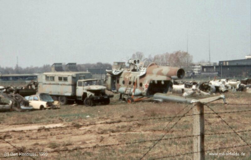
Image credits are shown on the respective target page, click on the preview to open it.
 Follow mil-airfields on Facebook