For historical information only, do not use for navigation or aviation purposes!
| Coordinates | N495215 E0075736 (WGS84) Google Maps |
| Federal state | Rheinland-Pfalz (Rhineland-Palatinate) |
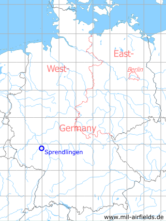
Germany during the Cold War Map
The history of the Cold War airfields: Sprendlingen
Location of airfield
Autobahn A61, between exits Gau-Bickelheim and Bad Kreuznach.
During the Cold War
Runways
- 15/33: 1900 m
Today
Use
Closed.
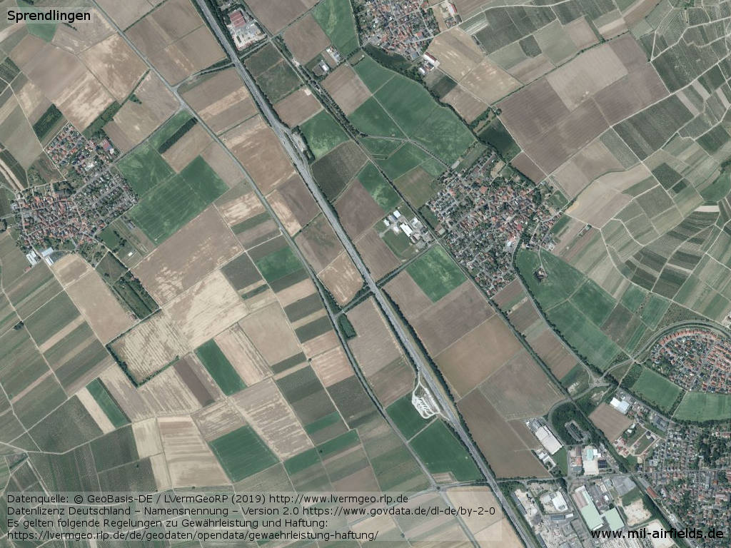
Overview
Source: Datenquelle: © GeoBasis-DE / LVermGeoRP (2019), http://www.lvermgeo.rlp.de, Datenlizenz Deutschland – Namensnennung – Version 2.0 https://www.govdata.de/dl-de/by-2-0. Es gelten folgende Regelungen zu Gewährleistung und Haftung: https://lvermgeo.rlp.de/de/geodaten/opendata/gewaehrleistung-haftung/
Aerial image
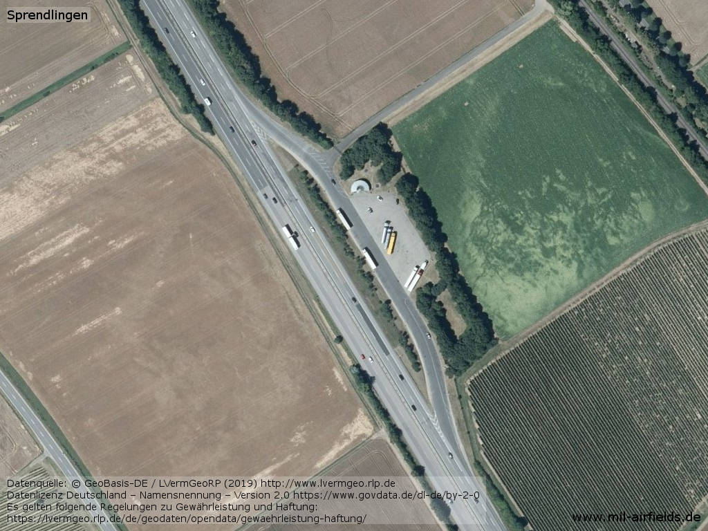
Northern parking area
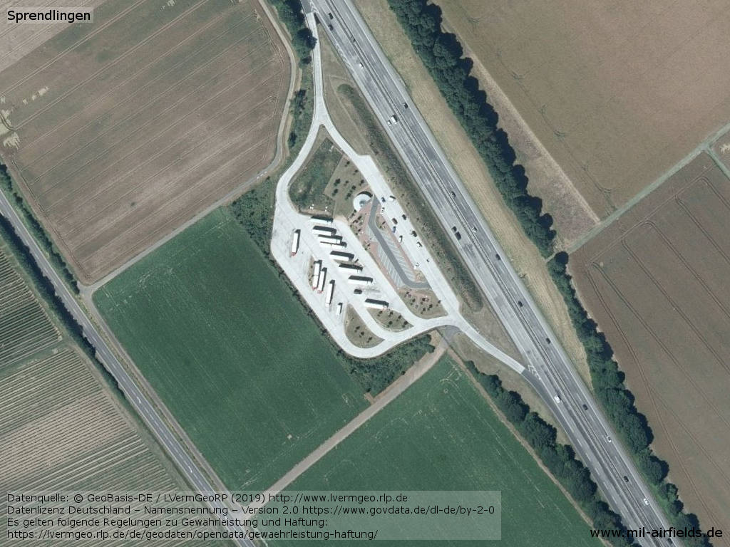
Southern parking area
Sources
- https://www.lvermgeo.rlp.de/ - Geoportal Rheinland-Pfalz
Airfields in the vicinity
- 245°/6km Bad Kreuznach: Army Airfield AAF
- 051°/17km Mainz: Finthen Army Airfield AAF (Ober-Olm)
Categories
Highway Strips WorldwideMilitary Airfields GermanyMilitary Airfields in former West GermanyHighway Strips in former West GermanyRecommended
Image credits are shown on the respective target page, click on the preview to open it.
 Follow mil-airfields on Facebook