For historical information only, do not use for navigation or aviation purposes!
| Coordinates | N525705 E0083245 (WGS84) Google Maps |
| Federal state | Niedersachsen (Lower Saxony) |
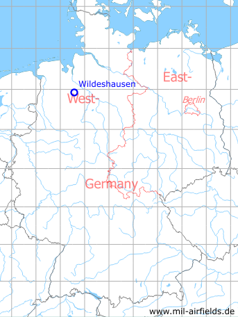
Germany during the Cold War Map
The history of the Cold War airfields: Wildeshausen
Location of airfield
Autobahn A1 between exits Wildeshausen-Nord and Groß Ippener.
Usage during the Cold War
Highway strip.
Use today
Closed.
Runways
Data for the year 1990:
- 07/25: 1800m
Airfields in the vicinity
- 014°/22km Lemwerder: Airfield
- 252°/22km Ahlhorn: Air Base (RAF Ahlhorn)
 Follow mil-airfields on Facebook