Worms: US Army Heliport AHP
For historical information only, do not use for navigation or aviation purposes!
| Coordinates | N493948 E0082110 ca. (WGS84) Google Maps |
| Elevation | 300 ft |
| Location indicator | EDOM (-1995), ETOM (1995-) |
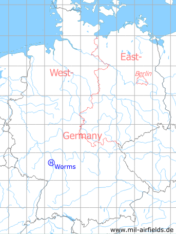
Germany during the Cold War Map
The history of the Cold War airfields: Worms
Location of airfield
The heliport was located ca. 3.5 km north-northwest of Worms city center, in todays industrial estate I/4 west of Mainzer Straße.
Usage during the Cold War
US Army helipad.
Use today
Closed.
Current State
The former site is completely over-built.
Telephone
Numbers in the military phone networks of the US Armed Forces:
1960s: Worms Military (218) 8941 oder 8177
1970s: Military 2421-8234
1980s: Military 2421-7570, 7806, 8234, 7234
1980s: ETS 383-7570, 7806, 8234, 7234
1990s: DSN 383-7601, 7806, 7808, 7809
1960s: Worms Military (218) 8941 oder 8177
1970s: Military 2421-8234
1980s: Military 2421-7570, 7806, 8234, 7234
1980s: ETS 383-7570, 7806, 8234, 7234
1990s: DSN 383-7601, 7806, 7808, 7809
 Follow mil-airfields on Facebook