Chojna: Air Base
Königsberg/Neumark Air Base, Аэродром Хойна, Lotnisko / Baza lotnicza Chojna
For historical information only, do not use for navigation or aviation purposes!
| Coordinates | N525623 E0142520 (WGS84) Google Maps |
| Elevation | 57m / 187' |
| Voivodeship | West Pomeranian (Województwo zachodniopomorskie) |
The history of the Cold War airfields: Chojna
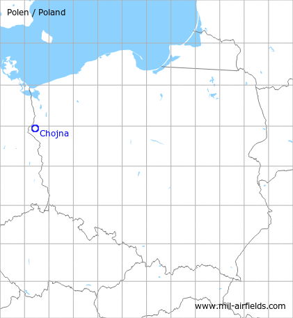
Location of airfield
South-southwest of Chojna.
During World War II
Use
Luftwaffe air base Königsberg/Neumark.
Overview
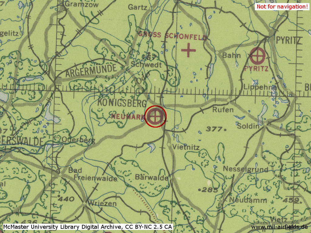
Königsberg-Neumark Air Base in World War II on a US map from 1943
Source: McMaster University Library Digital Archive, License: Creative Commons Attribution-NonCommercial 2.5 CC BY-NC 2.5 CA
During the Cold War
Use
Soviet/Russian air base.
Units
Occupation by Soviet units (courtesy of "Unter dem Radar"):
- January 1946 - February 1949: 149th Fighter Regiment (149-й иап): Yak-9, in February 1949 renamed ...
- February 1949 - December 1952?: 871st Fighter Regiment (871-й иап): Yak-9
- June 1955 - 05 May 1992: 582nd Fighter Regiment (582-й иап): MiG-17, MiG-21F-13, MiG-21PF, MiG-21PFM, MiG-21SMT, MiG-21bis, Su-27); on 05 May 1992 the regiment left the airfield and withdrew to Smolensk.
- 1956 - 1963: 330th independent Reconnaissance Regiment (330-й орап): MiG-15Rbis
In the 1970s
Situation
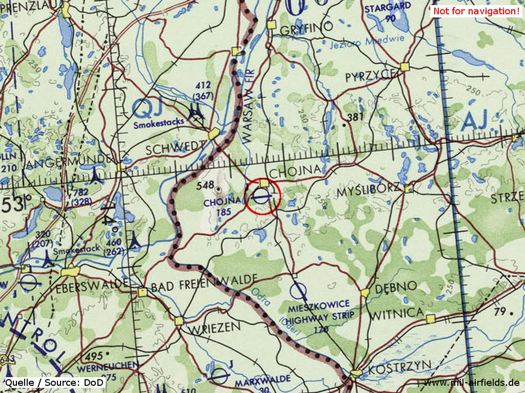
Chojna Soviet Air Base on a map of the US Department of Defense from 1972
Source: ONC E-2 (1972), Perry-Castañeda Library Map Collection, University of Texas at Austin
In the 1980s and early 1990s
Overview
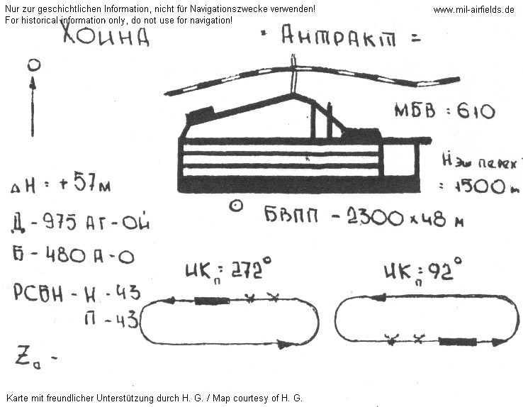
Soviet airfield sketch
| ХОИНА | Chojna |
| АНТРАКТ | Call sign "ANTRAKT" |
| МБВ | Minimum safe altitude |
| Н | Airfield elevation 57 m |
| Н ЭШ ПЕРЕХ | Transition level |
| д | Locator at outer marker with frequency and idents for main and secondary landing direction |
| Б | Locator at middle marker |
| БВПП | Dimensions of concrete runway |
| РСБН | Radio channels for RSBN navigation system and PRMG landing system |
Runways
- 09/27: 2300 m x 48 m
Radio beacons
- LOM 27: 975 "AT", 3800 m
- LMM 27: 480 "A", 1000 m
- LOM 09: 975 "OJ", 4160 m
- LMM 09: 480 "O", 1010 m
- RSBN: CH 43 "AT", N525606 E0142519 (S42/83?)
- PRMG: CH 43
The idents of the radio beacons in main landing direction 272° were made out of the first and the last letter of the airfield call sign ANTRAKT.
Radio communication
The call sign was ANGARKA (known for the time 1965...1970) and later ANTRAKT (known for around 1990).
Units
Last unit in Chojna was the 582 IAP. In the late 1980s / early 1990s, the regiment was equipped with 30..34 Su-27. The unit left for Smolensk on May 05th, 1992.
Installations
"Airfield with the surface of 423 hectares. Over 260 buildings of different types. Fuel station of 21,7 thousand meters3 of capacity. Property seriously devasted." (Source: /bicc/)
Additional information
This story has been reported by Jakub Sieradzki:
"It was one of the very last days of the soviet troops in Poland, when a lot of broken equipment still waited for the lift to the Soviet Union. One of the farmers living next to the area of the airfield has dreamed of having an airplane in his farm, so that he went to the airbase and started to negotiate with the guards possible ways of assisting him in the realisation of his dream. He finally succeeded and for some decent amount of spirit (I was told it was one bottle, but it's hard to belive) he bought one of the grounded planes (I was told it was a "small plane" - so possibly we are not dealing with Sukhoi in this story). Soviet soldiers were so helpfull, that even had dismantled fragments of the barbed-wire fence to make deal come faster. Unfortunately they were not equally ridgid to repair the fence, so that deal has been discovered and the "small plane" returned to the Soviet Air Force. I guess alkohol has not been returned to the investor ..."
Today
Use
The airfield is closed. Transfered to Polish authorities on July 7th, 1992.
Jakub Sieradzki reported in 2007: Currently whole area has been tranferred to the local community and becomes step-by-step business (bunkers are used as storage facilities) and housing project
Images
The following pictures were taken in July 2007, courtesy of Jakub Sieradzki. Thank you very very much, Jakub!
Three pictures are retouched in small portions to protect privacy.
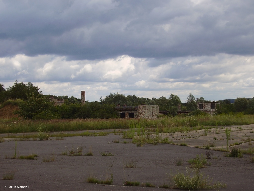
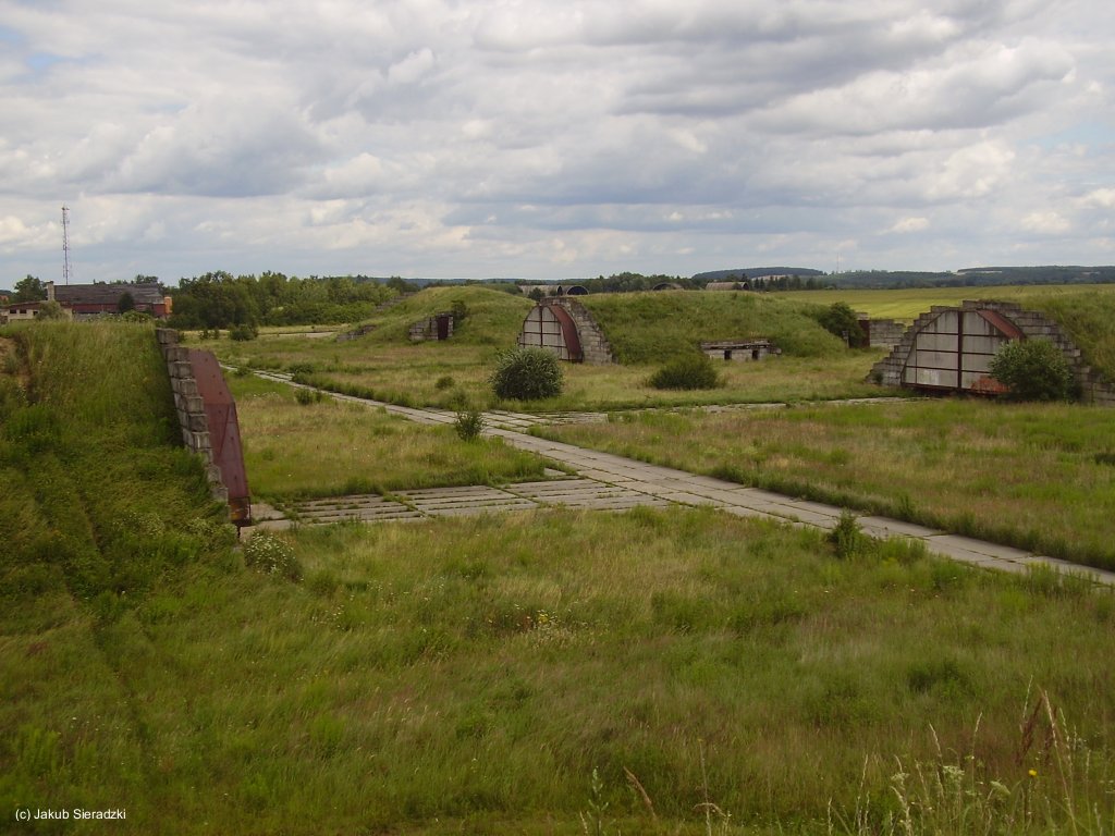
Buildings
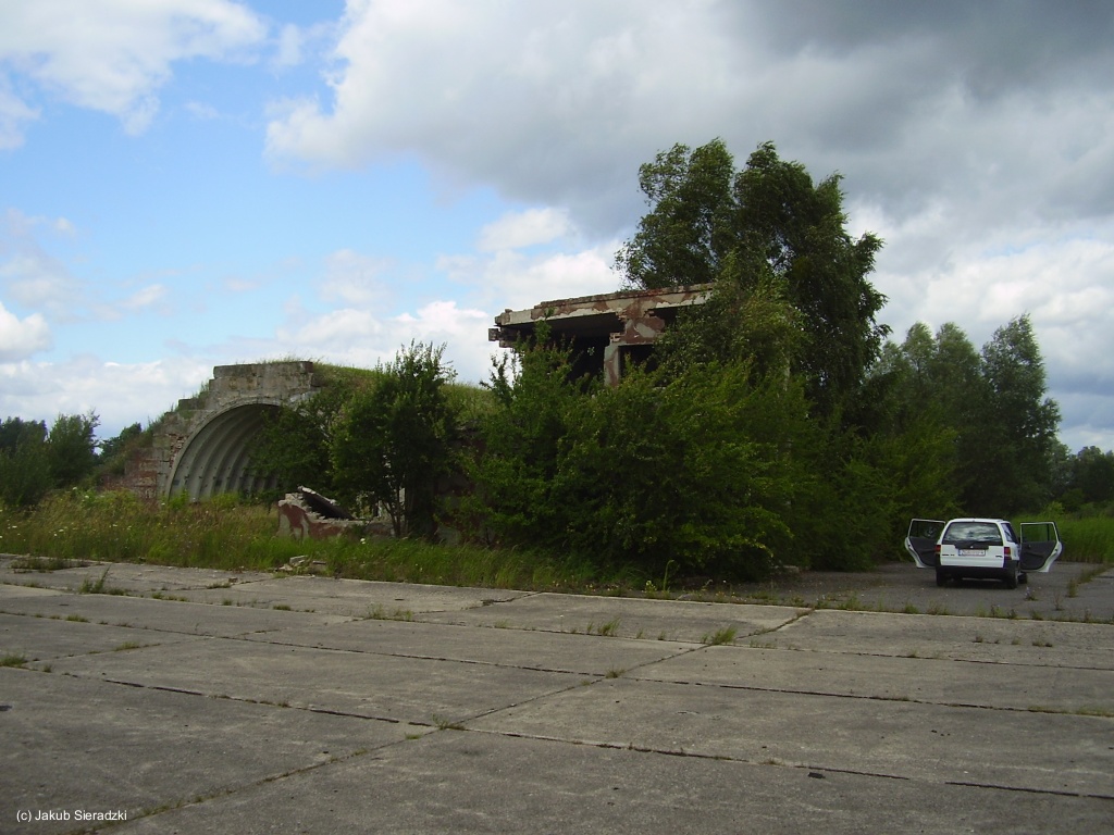
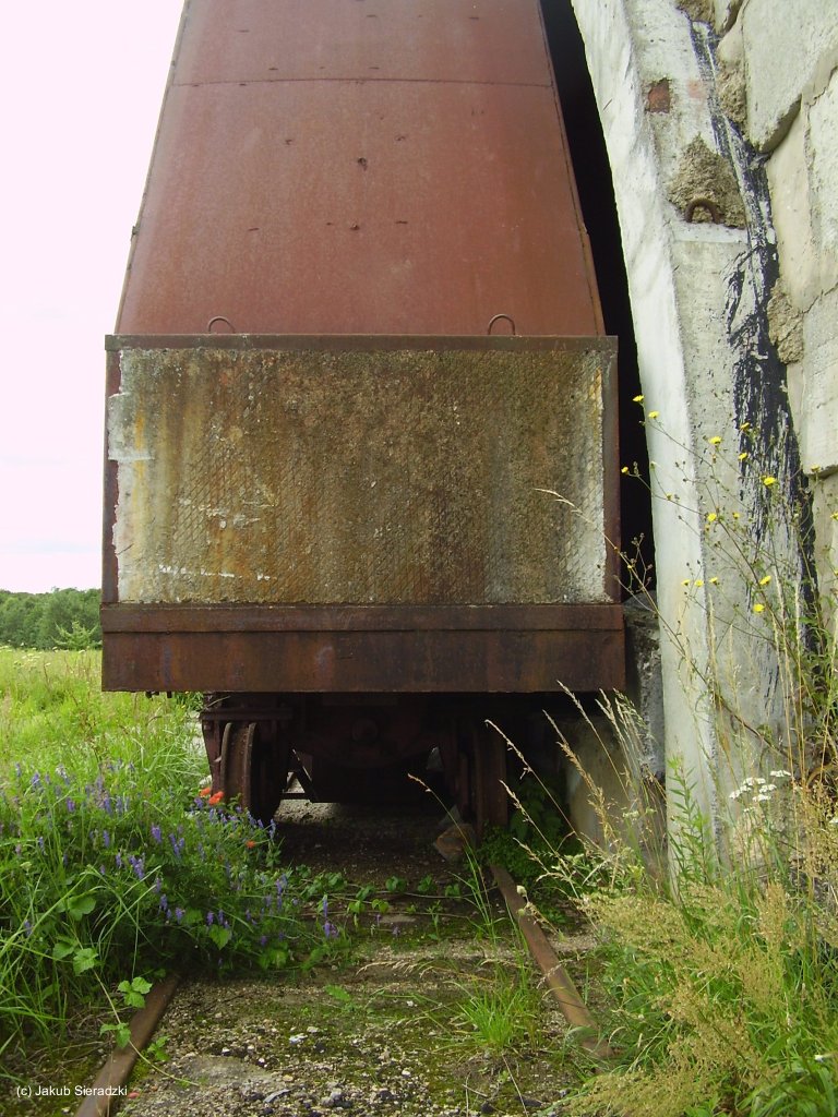
Aircraft shelter
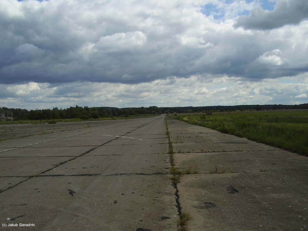
Taxiway - (slightly retouched)
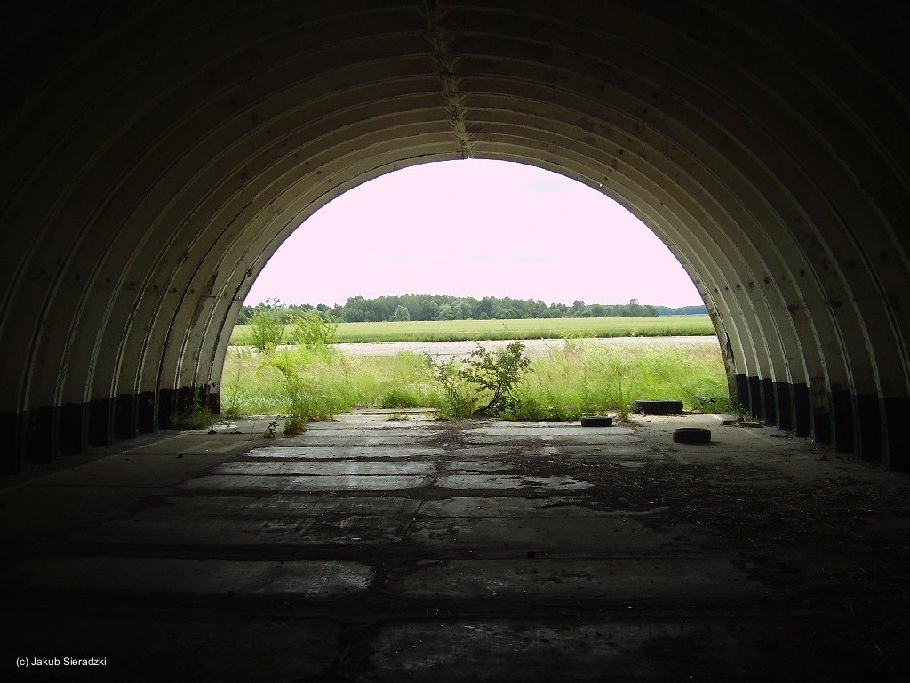
Shelter - (slightly retouched)
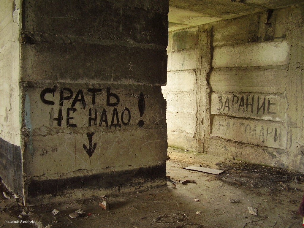
The graffiti left in front means "don't shit here"
(slightly retouched)
Aircraft shelter
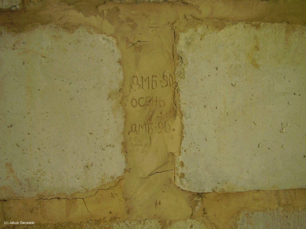
Wall
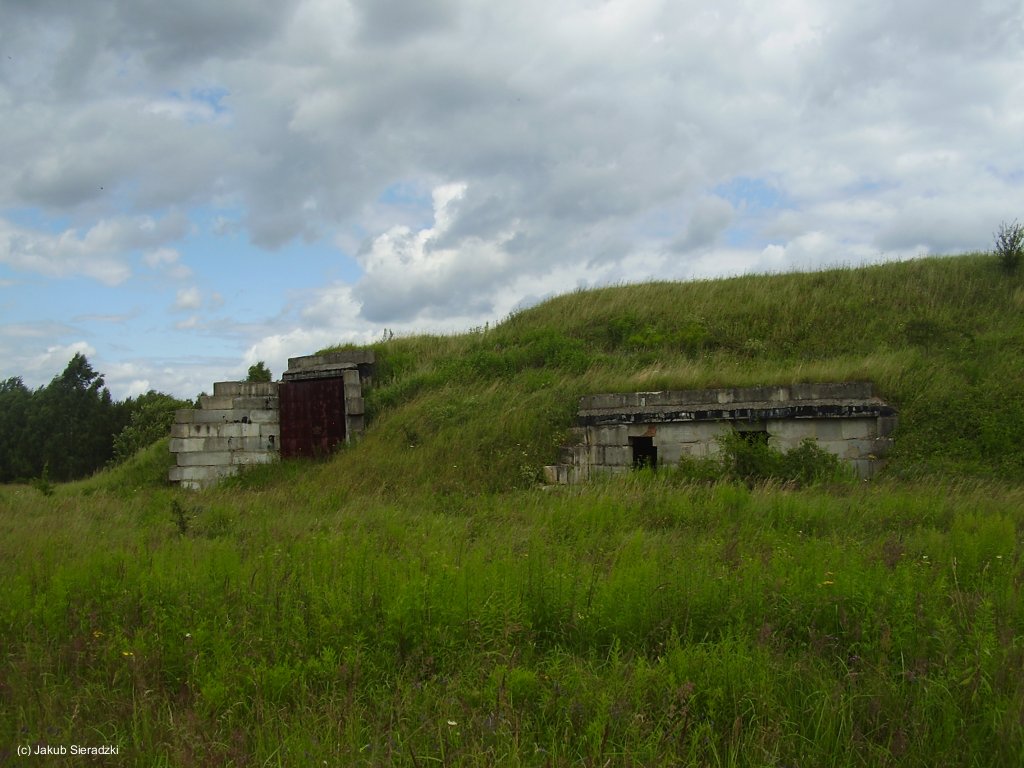
Aircraft shelter
Shelter door
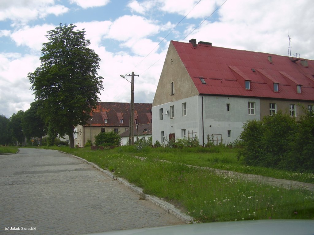
Building
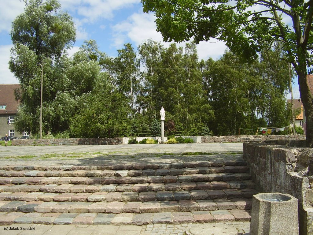
Stairs
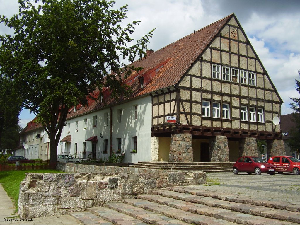
Building of former German Air Base
Sources
- http://lib.byu.edu/collections/german-maps/ - German Maps (Topographische Karte 1:25,000)
- http://www.bicc.de/ - Bonn International Center for Conversion
Bibliography
- Freundt, Lutz (Hrsg.), Büttner, Stefan: "Rote Plätze - Russische Militärflugplätze in Deutschland 1945 - 1994" AeroLit Verlag, 2007 - Short description of the airfield history
Airfields in the vicinity
Categories
Air Bases PolandRecommended
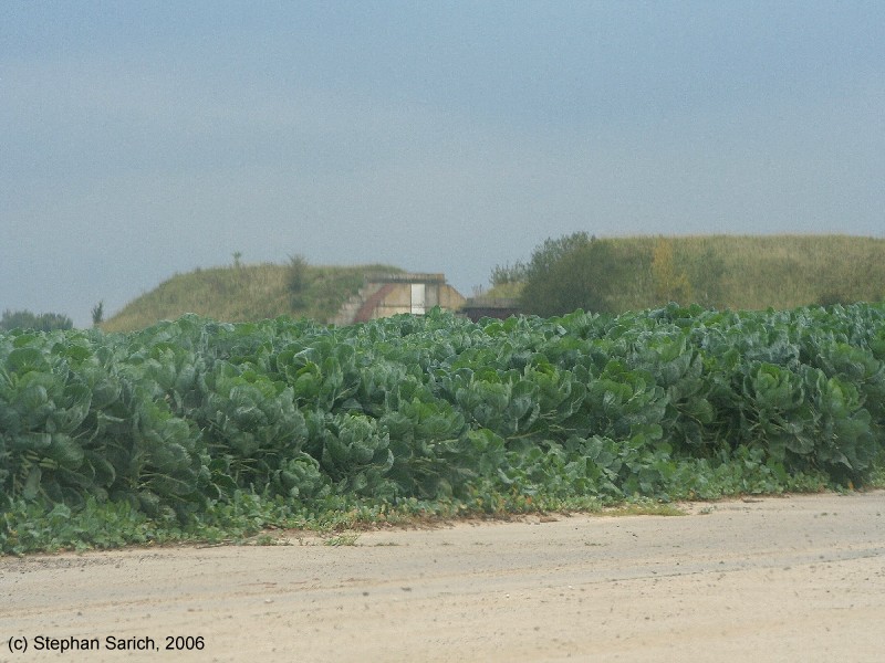
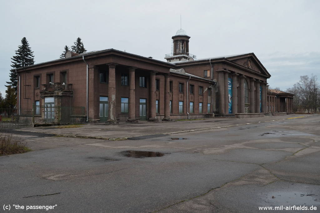
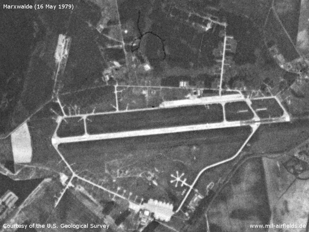
Image credits are shown on the respective target page, click on the preview to open it.
 Follow mil-airfields on Facebook