For historical information only, do not use for navigation or aviation purposes!
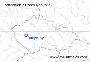
| Coordinates | N494513 E0133502 (WGS84) Google Maps |
| Location indicator | LKRY |
The history of the Cold War airfields: Rokycany
During the Cold War
Use
Reserve airfield?
Situation
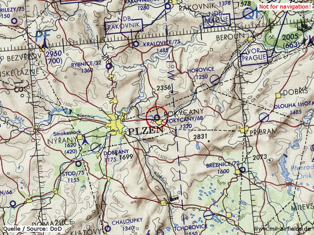
Rokycany Airfield on a map of the US Department of Defense from 1972
Source: ONC E-2 (1972), Perry-Castañeda Library Map Collection, University of Texas at Austin
Overview
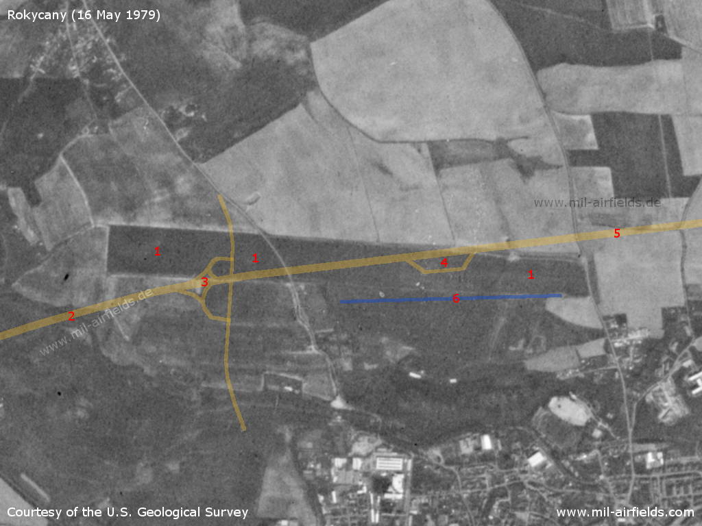
Rokycany Airfield on a US satellite image from 16 May 1979 - For orientation I have added the later built motorway and the present runway.
Source: U.S. Geological Survey
| 1 | The runway at the time |
| 2 | Today's motorway direction Plzeň |
| 3 | Junction |
| 4 | Service station |
| 5 | Motorway direction Prague. A source says that a Highway Strip (for operation of aircraft) was planned here. |
| 6 | Today's runway. |
Runways
- 09/27: 2000 m Grass
Remarks
The situation is similar to Vyškov Airfield. Here, too, the runway of a reserve (?) airfield was covered with a motorway and the motorway was prepared for flight operations.
Today
Use
General aviation airfield.
Runways
The former runway is now partly overbuilt with the motorway. A new runway is in operation south of the motorway.
Airfields in the vicinity
Categories
Air Bases CzechiaRecommended
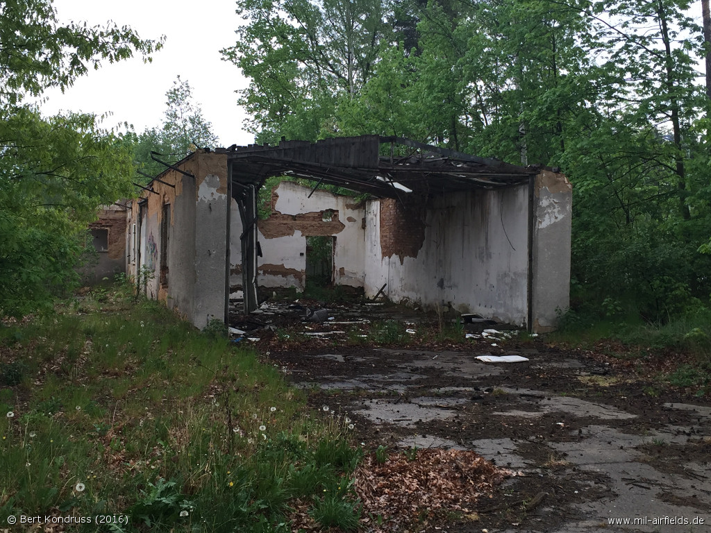
Image credits are shown on the respective target page, click on the preview to open it.
 Follow mil-airfields on Facebook