For historical information only, do not use for navigation or aviation purposes!
| Coordinates | N481514 E0083836 (WGS84) Google Maps |
| Federal state | Baden-Württemberg |
Germany during the Cold War Map
The history of the Cold War airfields: Böhringen Highway Strip
General
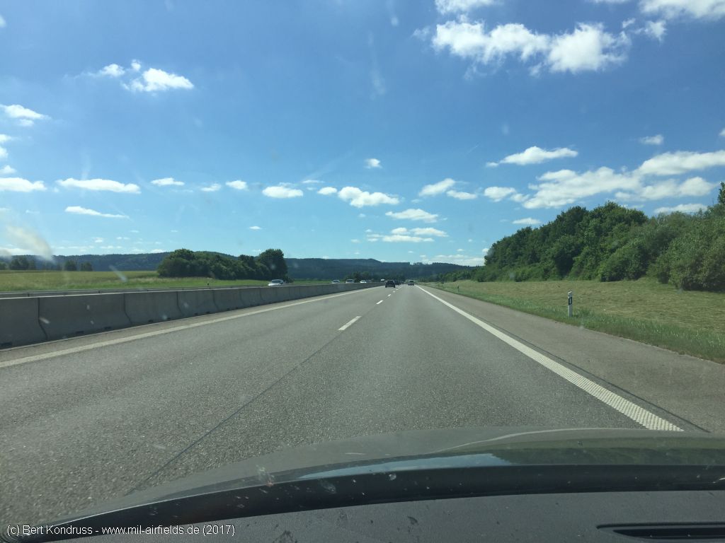
Böhringen (municipality of Dietingen) is a village in the federal state of Baden-Württemberg, about 10 kilometers north-northeast of Rottweil. During the Cold War, a section of the Autobahn A81 motorway about one kilometer west of Böhringen was prepared for military flight operations. In this area, the autobahn runs straight at approx. 3000 m and has a continuous central strip. There is a generously dimensioned parking lot at both ends. According to "Geschichtsspuren" (see link below), an exercise took place in September 1978 during which the highway strip was used by C-160 Transall and C-130 Hercules transport aircraft.
Location of airfield
Autobahn A81 between the junctions Oberndorf am Neckar and Rottweil.
During the Cold War
Use
Section of the autobahn prepared for military flight operations (highway strip)
Today
Use
Closed.
Images
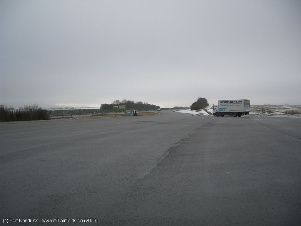
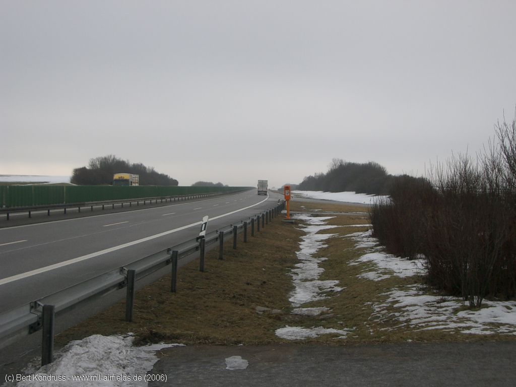
Pictures from January 2006
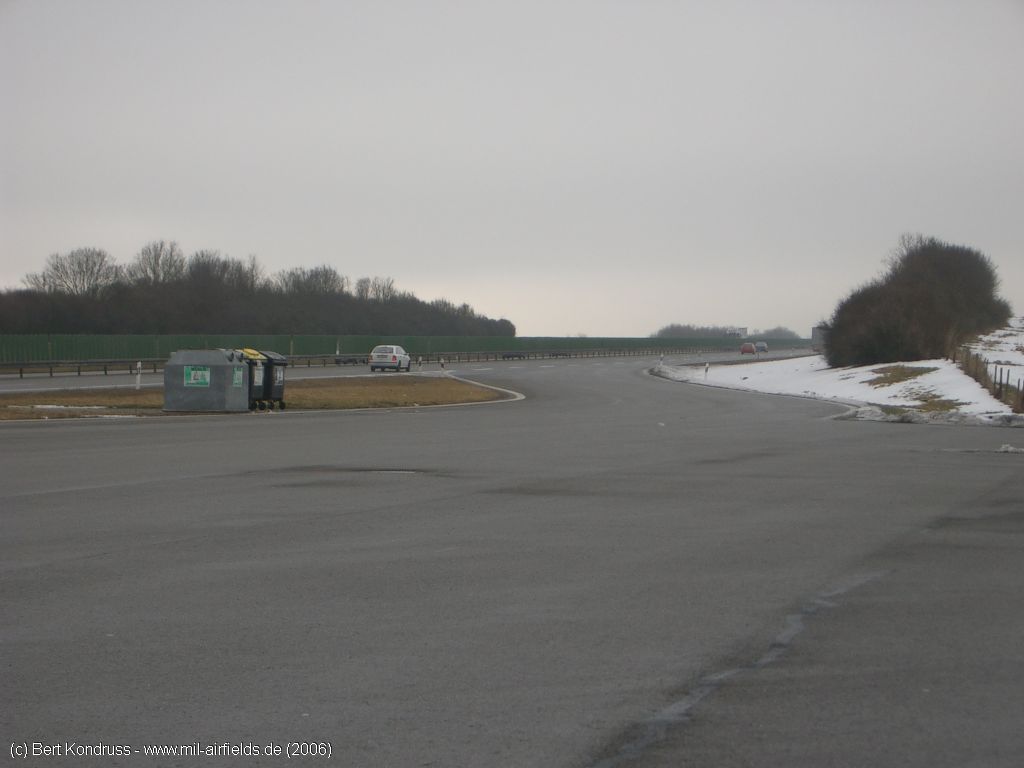
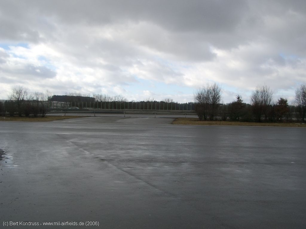
Northern parking
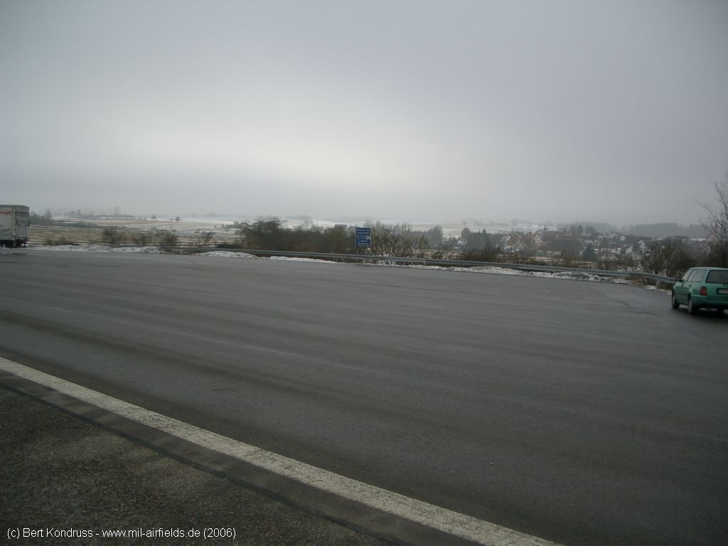
View over the car park on the northwest side
Northwestern car park, direction of view approximately south
In addition to the diagonal exits, there were two other connections that led vertically to the autobahn.
Access to the south
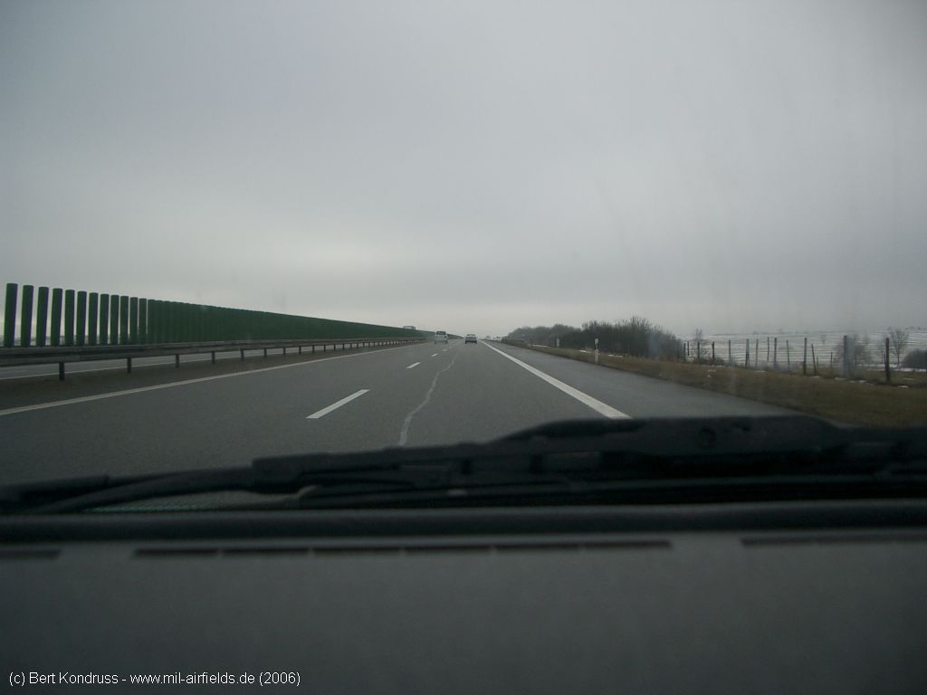
On the autobahn - In contrast to the later photographs from 2017, there are still metal guard rails with a green screen on them.
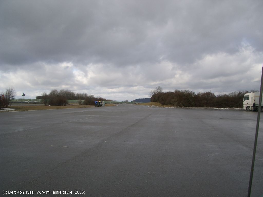
Southern parking
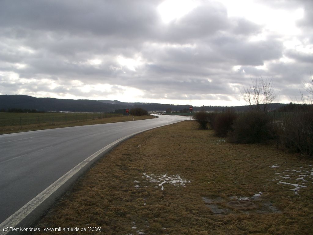
Drive up to the south-eastern parking, direction of view approximately south
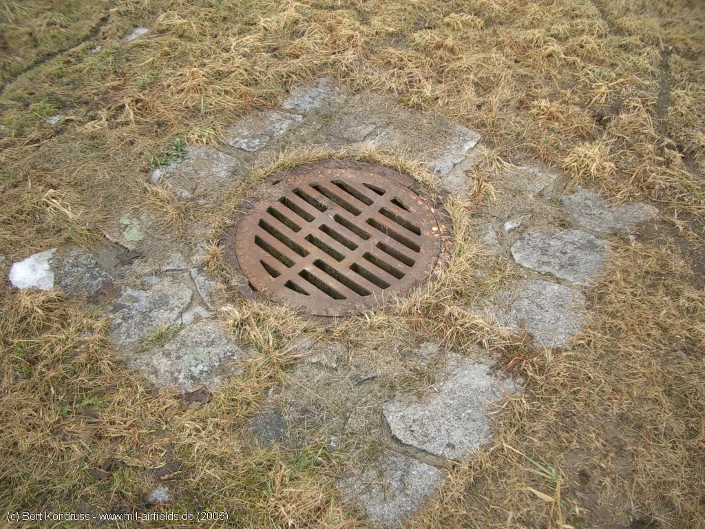
Gully
Here, too, there were two connections leading vertically to the autobahn
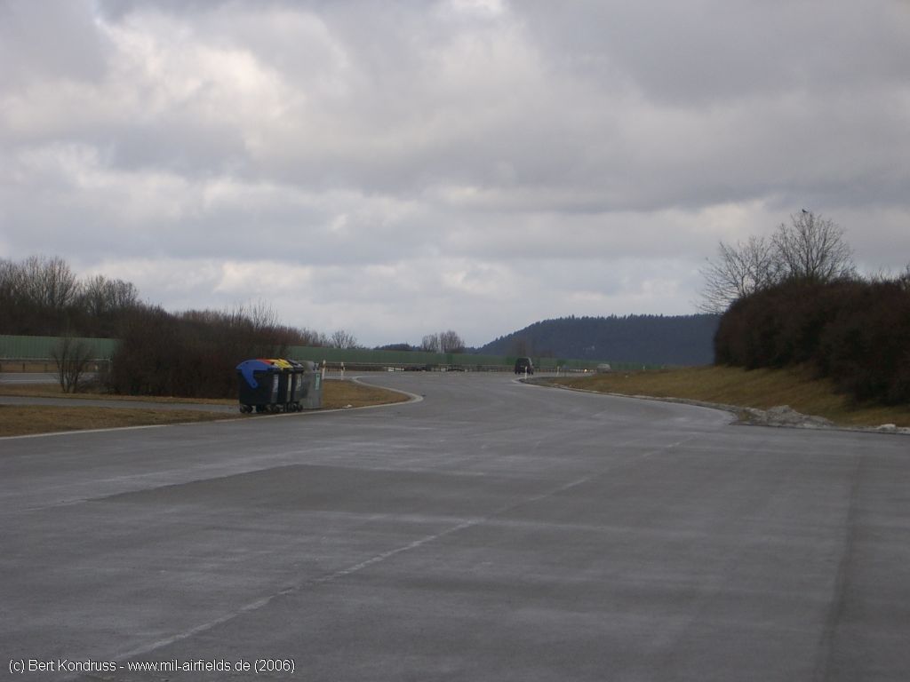
Access road, but not directly connected to the car park.
View over the south-eastern parking lot
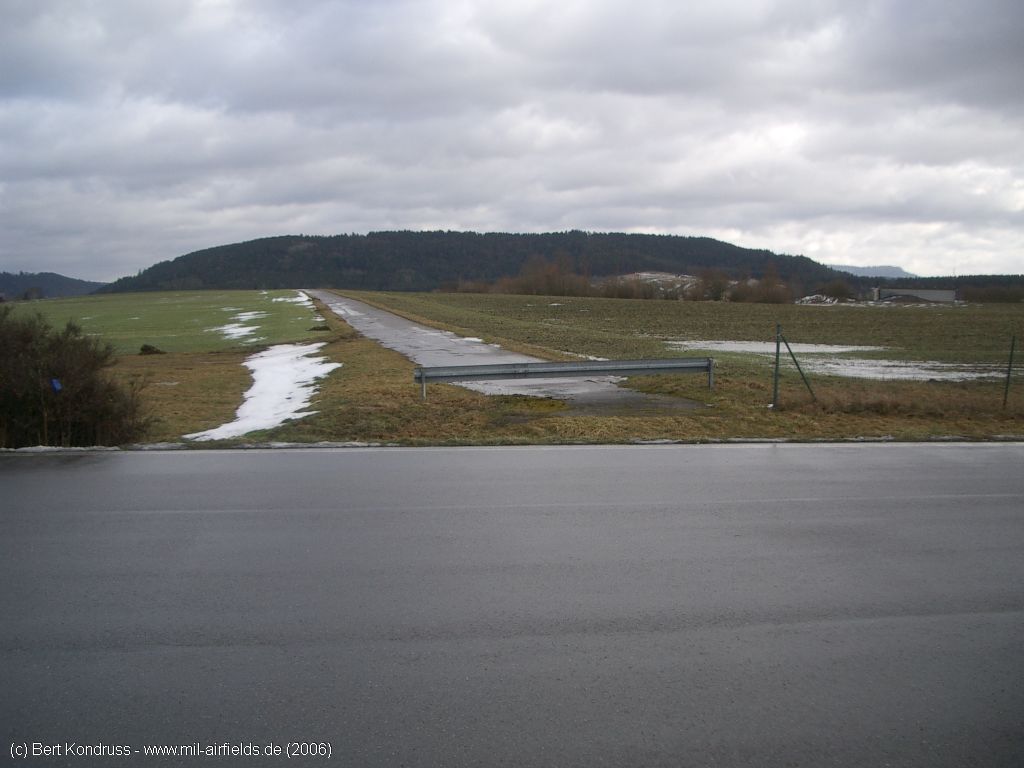
Drive up to the highway strip in a northerly direction
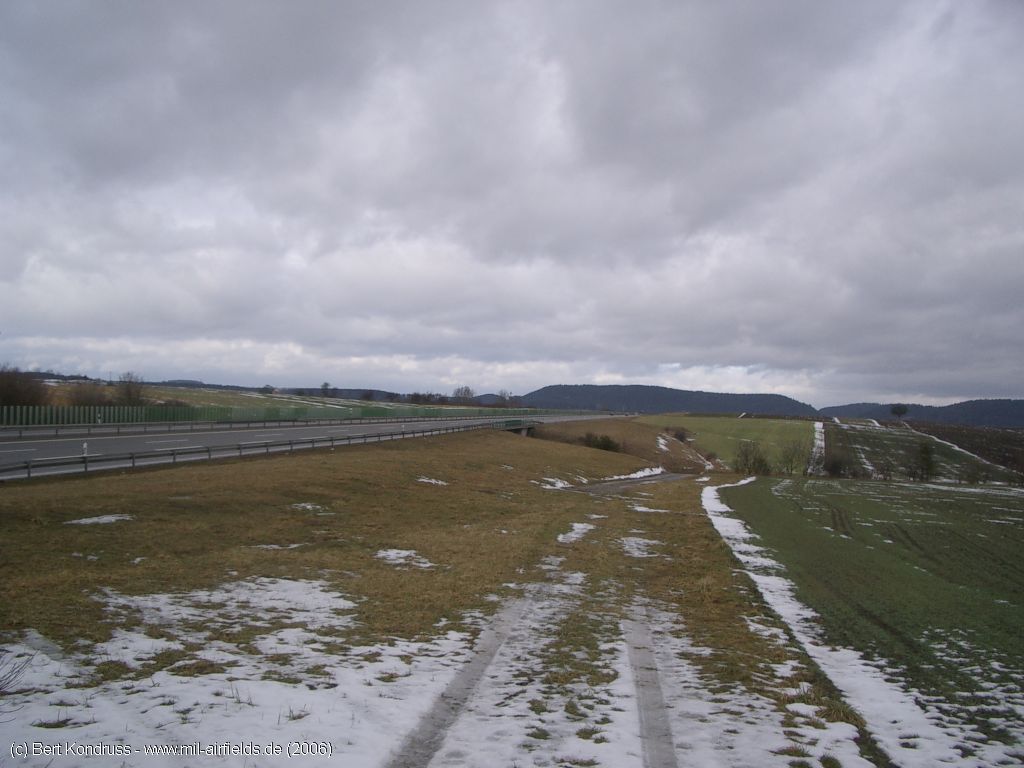
View over the highway strip, direction approximately northwest
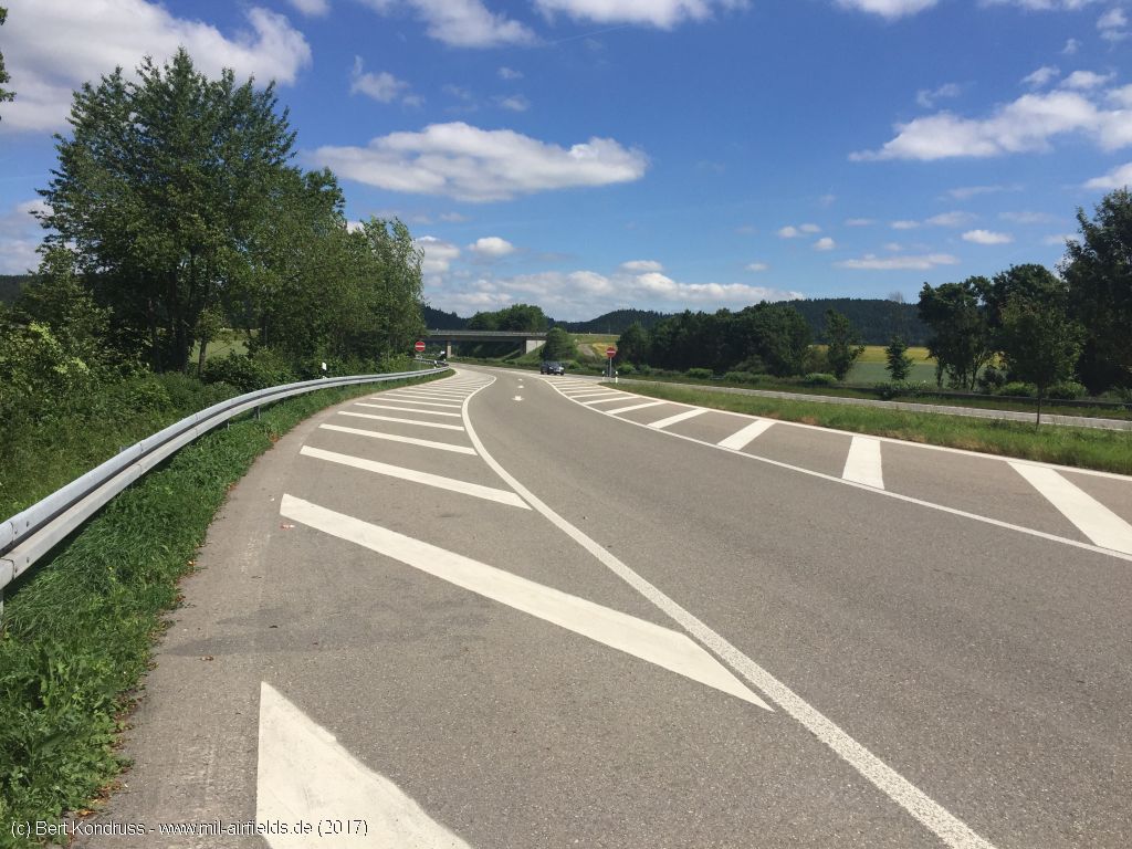
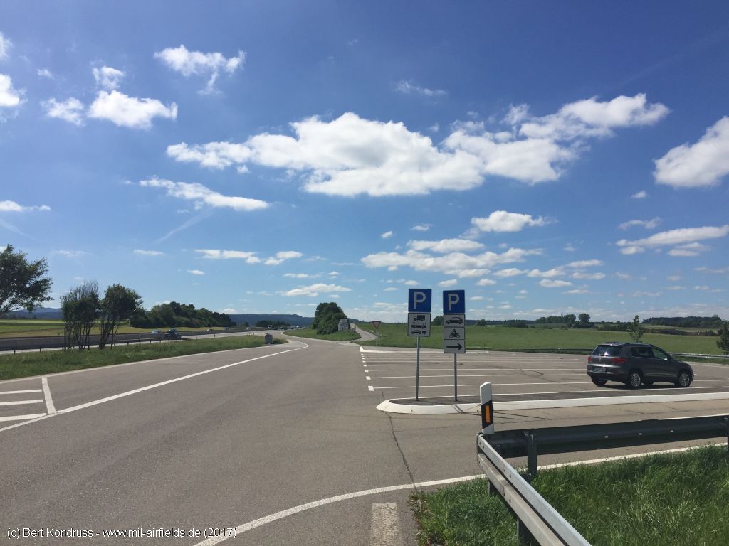
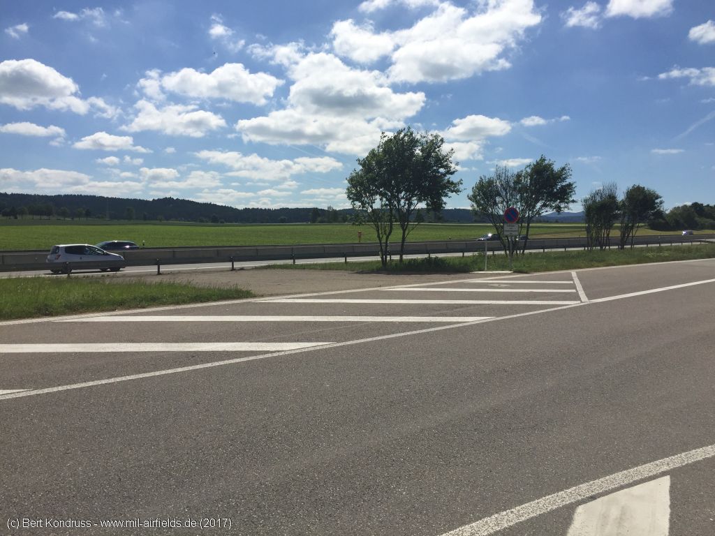
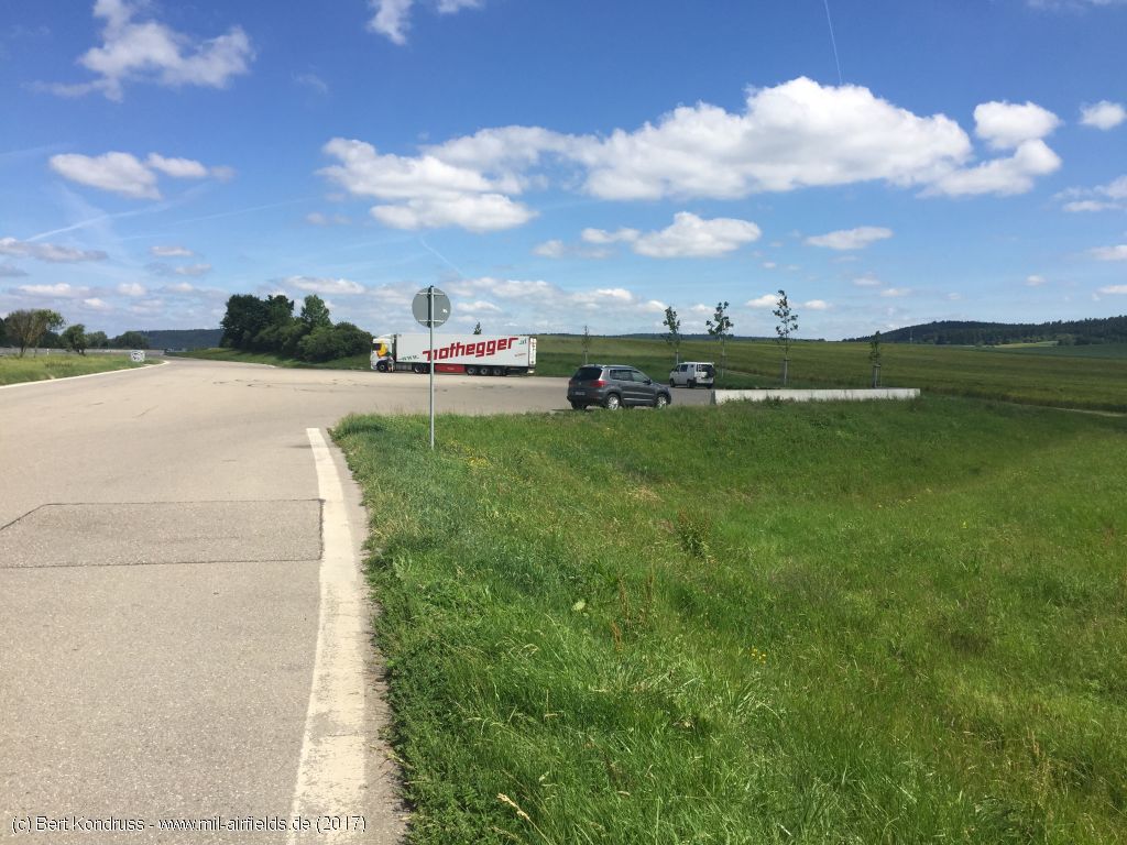
Pictures from June 2017
Northern parking
Exit to the northwest car park
View in south direction over the northwestern parking lot
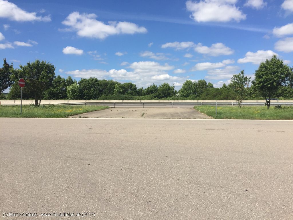
Connection to the motorway
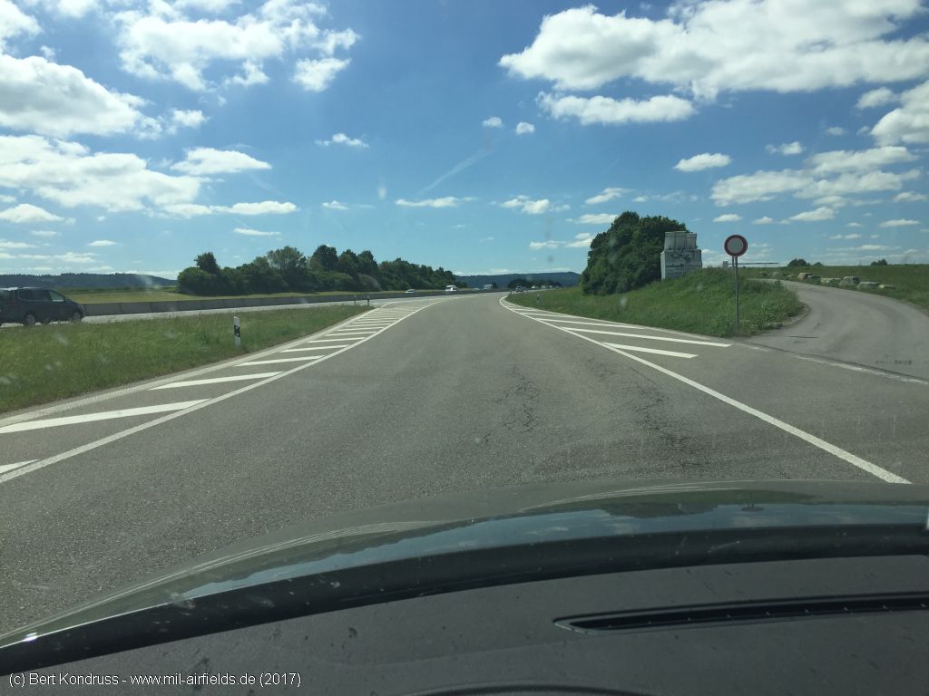
Drive up to the emergency landing site in a southerly direction
On the former highway emergency landing site
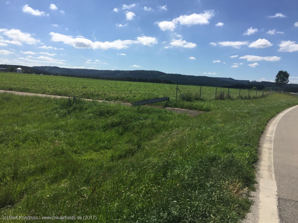
Southern parking
Exit to the south-eastern parking lot
View over the south-eastern parking lot in north direction
One of the two connections
Access road
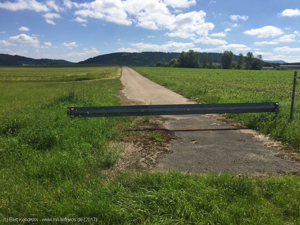
The road is not completely led to the parking lot
Links
- https://www.geschichtsspuren.de/artikel/luftfahrt-... - Autobahn-Flugplätze (Notlandeplätze NLP-Str)
Airfields in the vicinity
- 148°/36km Neuhausen ob Eck: Airfield
 Follow mil-airfields on Facebook