For historical information only, do not use for navigation or aviation purposes!
| Coordinates | N513622 E0133231 (WGS84) Google Maps |
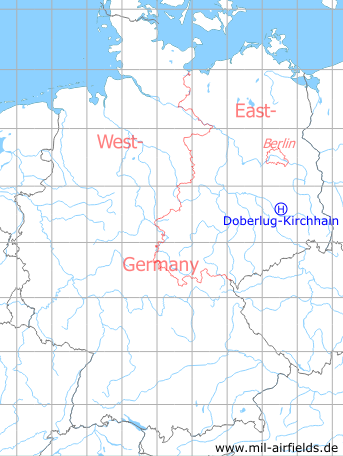
| Former East Germany (GDR) | District of Cottbus |
| Federal state | Brandenburg |
Germany during the Cold War Map
The history of the Cold War airfields: Doberlug-Kirchhain
Location of airfield
2.2 km southwest of Doberlug-Kirchhain railway station.
Usage during the Cold War
Helipad 1031 for Armament Repair Base 2 (IBas Bewaffnung 2) of former East German Ministry of National Defense (MfNV/NVA).
Use today
Closed.
Runways, taxiways, aprons
Dimensions: 150 m x 500 m,
main takeoff and landing direction: 270°,
surface: solid ground, meadow,
capacity: 3 helicopters.
main takeoff and landing direction: 270°,
surface: solid ground, meadow,
capacity: 3 helicopters.
Communication
Radio communication via UFT 721 and field telephone.
Airspace and procedures
Usable at day and night during good weather conditions.
Alert time: 90 minutes.
Alert time: 90 minutes.
Obstacles
River: direction 90°, distance 200 m.
 Follow mil-airfields on Facebook