For historical information only, do not use for navigation or aviation purposes!
| Coordinates | N535940 E0093442 (WGS84) Google Maps |
| Elevation | 82 ft |
| Federal state | Schleswig-Holstein |
| Location indicator | DDIO (195x), EDCI (196x-1995), ETHI (1995-2003), EDHF (200x-) |
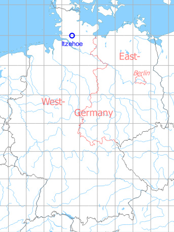
Germany during the Cold War Map
The history of the Cold War airfields: Itzehoe
General
After World War II, Itzehoe was a civil aerodrome. In the late 1950s, German Army aviation moved into the Hungriger Wolf ("Hungry Wolf"). For a long time, the field only had a grass runway. In the early 1980s, an asphalt runway was constructed. In 2003, the tenant Heeresfliegerregiment 6 (Army Flying Regiment 6) has been disbanded and the Bundeswehr (German Forces) withdrew from the garrison. Since then, the field is used by general aviation.
During the Cold War
In the 1970s
Overview
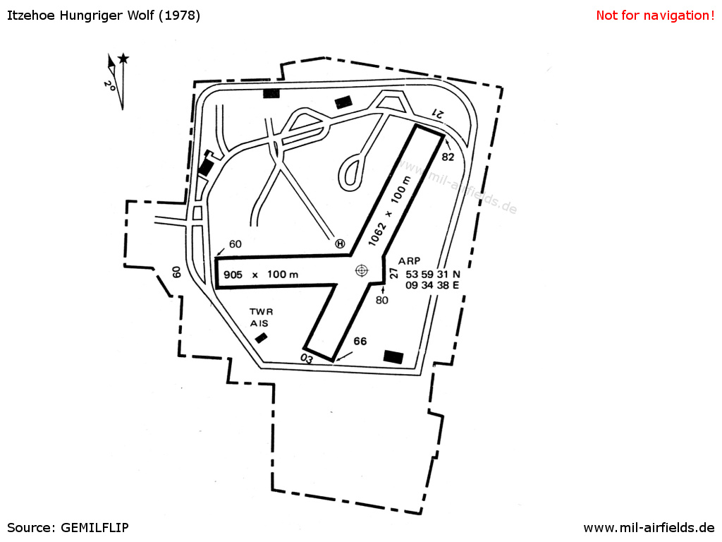
Itzehoe airfield on a map from 1978 - At this time the field has only grass-runways
In the 1980s
Overview
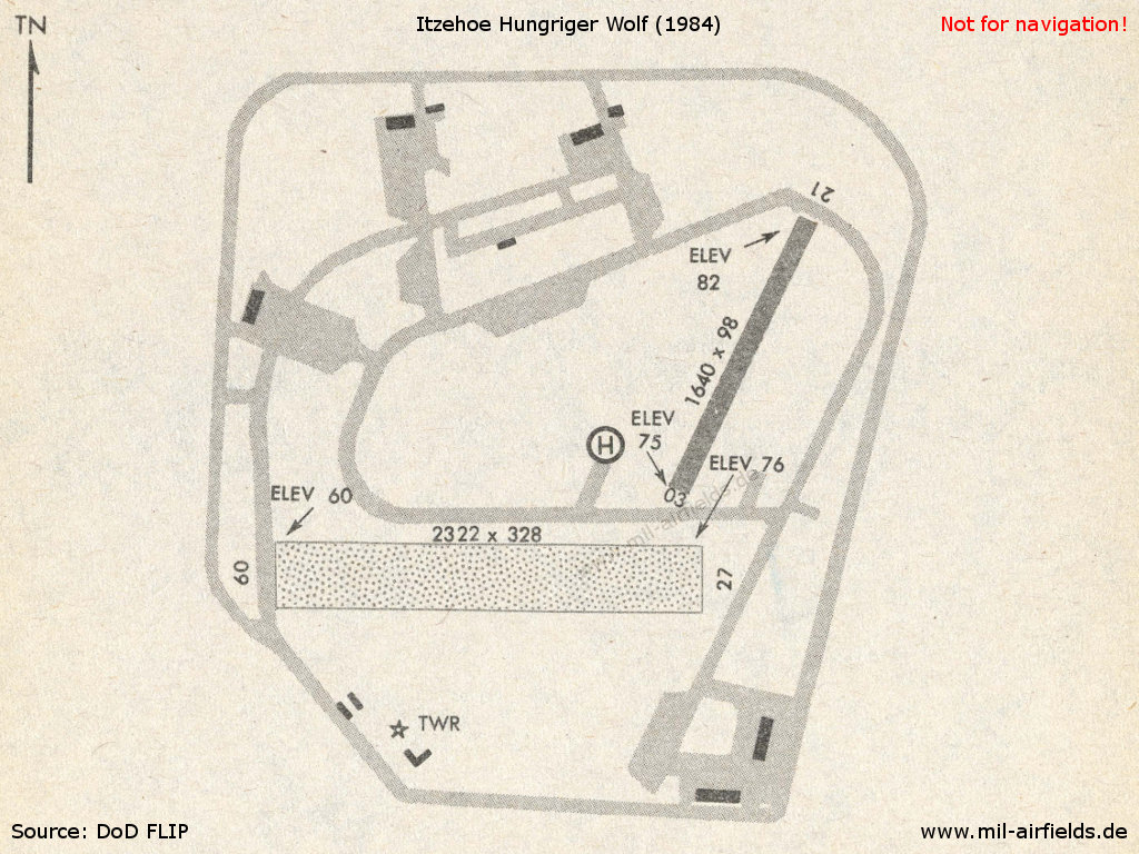
Itzehoe in 1984 - In the meantime, the airfield has received a hard-surfaced runway
Runways
- 03/21: 500 m x 30 m Asphalt
- 09/27: 708 m x 100 m Grass
Radio beacons
- NDB: 359 "ITZ", at field
Radar
ASR, PAR
Telephone
Civilian 04826 / 951
Installations
"Waldersee-Kaserne" barracks in the southeastern corner of the airfield.
In the 1990s/2000s
Telephone
Civilian 04826 / 37
FspNBw / BwKz 7760
FspNBw / BwKz 7760
Today
Use today
General aviation.
Links
- http://www.fliegen-itzehoe.de/Verein/Chronik/1950-... - History of aviation in Itzehoe
Airfields in the vicinity
- 356°/35km Hohn: Air Base (Rendsburg)
- 168°/39km Uetersen: Airfield (RAF Uetersen, Appen)
 Follow mil-airfields on Facebook