For historical information only, do not use for navigation or aviation purposes!
| Coordinates | N512031 E0140450 (WGS84) Google Maps |
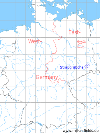
Germany during the Cold War Map
The history of the Cold War airfields: Straßgräbchen
Location of airfield
1.6 km southeast of Straßgräbchen.
Usage during the Cold War
Helipad 3130 for Anti-aircraft Regiment 31 (FRR-31) of former East German Air Force (NVA LSK/LV).
Use today
Closed.
Runways, taxiways, aprons
Dimensions: 600 m x 400 m,
surface: meadow with solid ground,
main takeoff and landing direction: 300°,
usable without crop damage,
capacity: 2 helicopters
surface: meadow with solid ground,
main takeoff and landing direction: 300°,
usable without crop damage,
capacity: 2 helicopters
Communication
Stabsnetz S1 9446-66-88
Airspace and procedures
Usable at day / night and good weather conditions.
Alert time: 60 minutes.
Alert time: 60 minutes.
Obstacles
None.
Links
- http://www.sachsenschiene.net/bunker/dep/dep_01.ht... - sperrgebiet.eu
 Follow mil-airfields on Facebook