For historical information only, do not use for navigation or aviation purposes!
| Coordinates | N530313 E0124056 (WGS84) Google Maps |
| Former East Germany (GDR) | District of Potsdam |
| Federal state | Brandenburg |
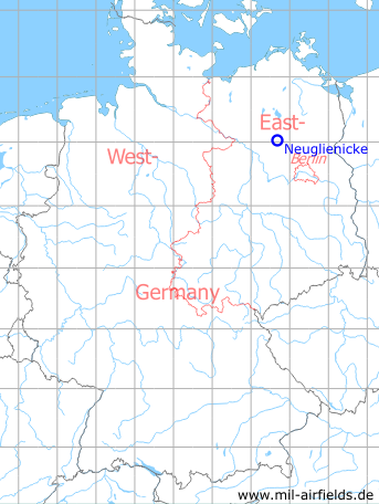
Germany during the Cold War Map
The history of the Cold War airfields: Neuglienicke
Location of airfield
West of Neuglienicke.
During the Cold War
Use
Landing ground at the Wittstock Gadow-Rossow firing range.
Situation
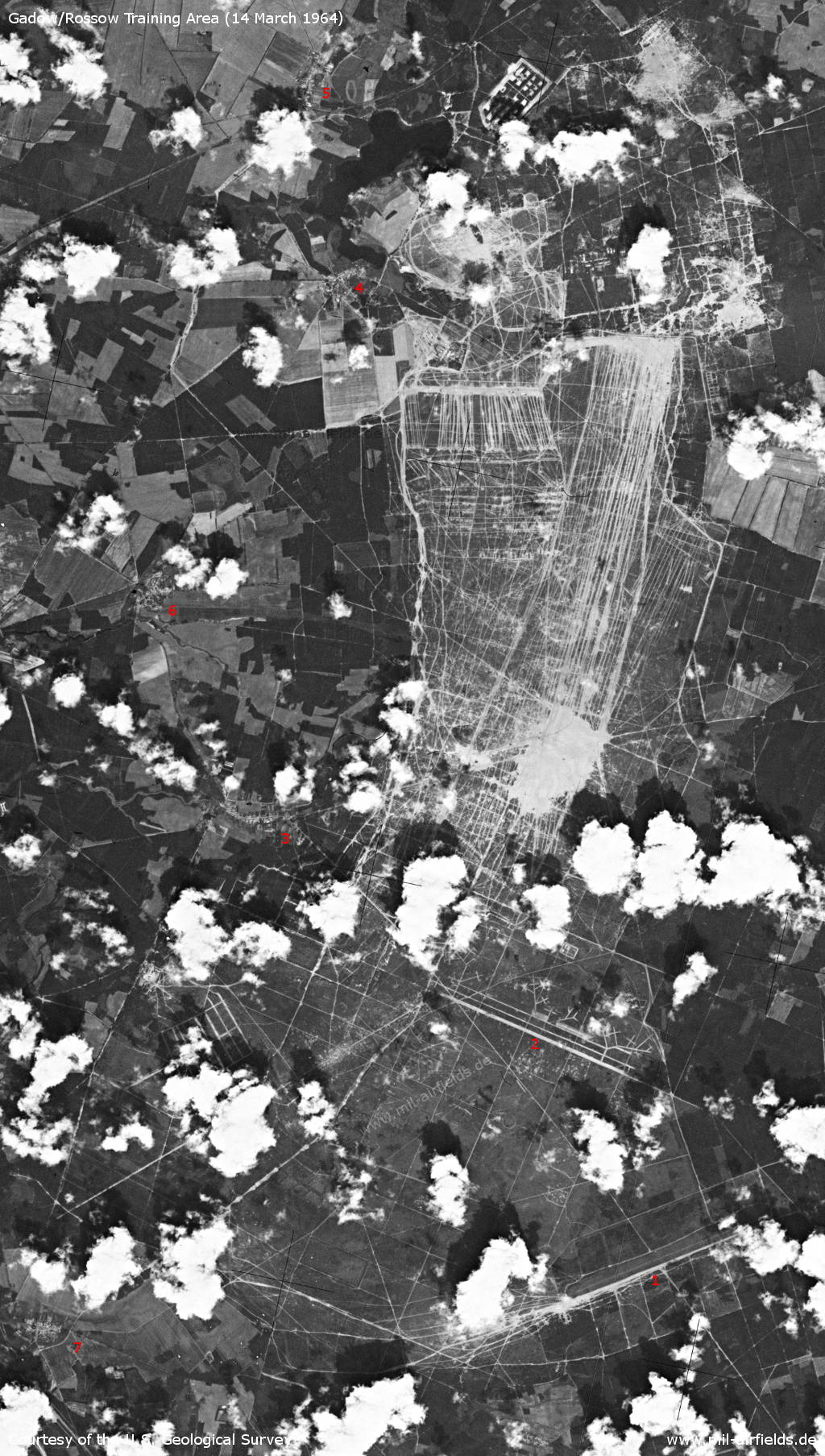
Wittstock Training Area / Gadow/Rossow Firing Range on 14 March 1964 - 1: Neuglienicke airfield; 2: Gadow airfield replica; 3: Gadow; 4: Schweinrich; 5: Dranse; 6: Zootzen; 7: Rossow
Source: U.S. Geological Survey
Overview
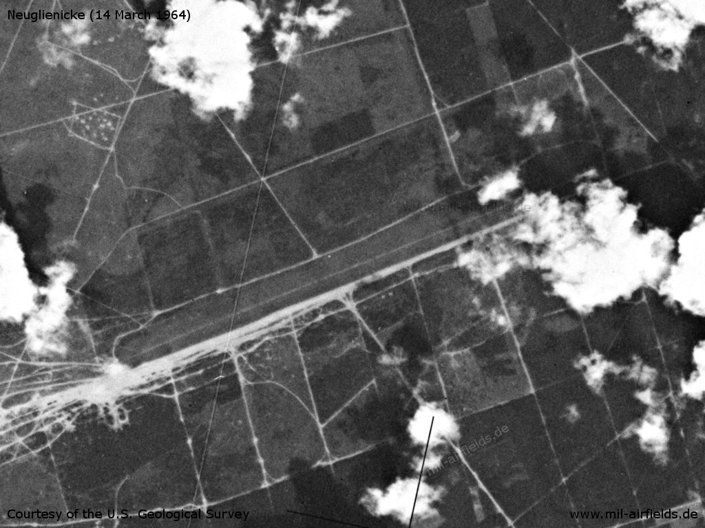
US satellite image from 14 March 1964
Source: U.S. Geological Survey
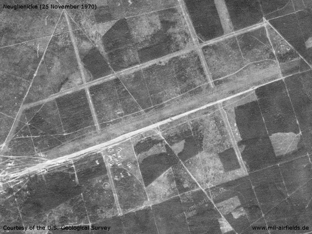
The airfield on a US satellite image from 25 November 1970
Source: U.S. Geological Survey
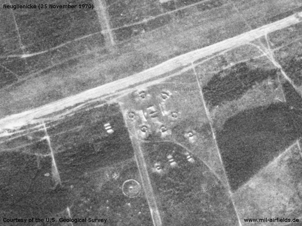
On the south side of the runway is an anti-aircraft site with blast walls.
Source: U.S. Geological Survey
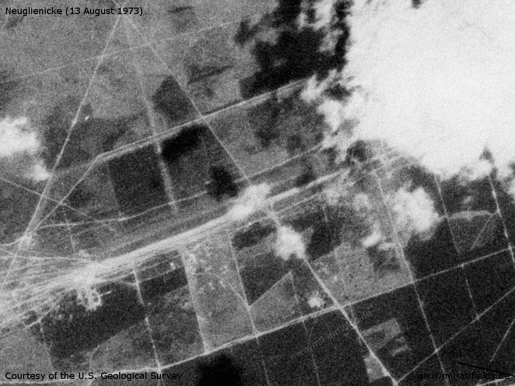
This picture of 13 August 1973 shows little change.
Source: U.S. Geological Survey
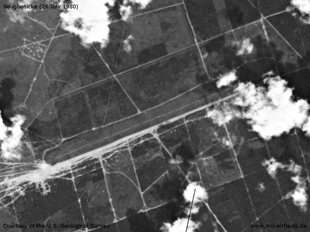
The landing ground on 26 July 1980
Source: U.S. Geological Survey
Runways
- 07/25: 2900 m Grass
Today
Use
Closed.
Airfields in the vicinity
Recommended
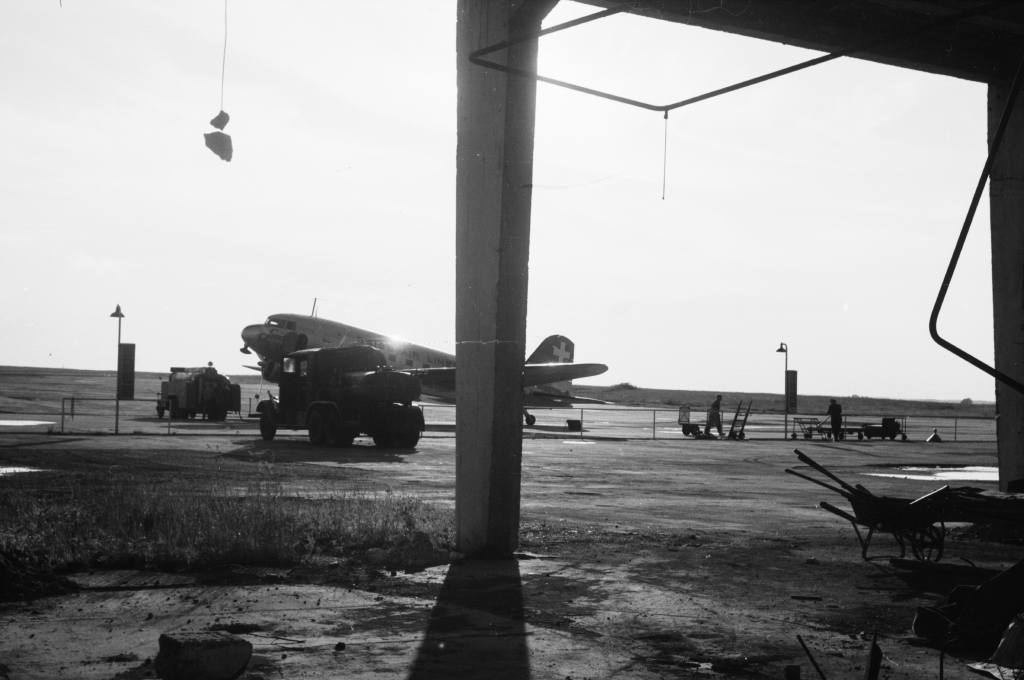
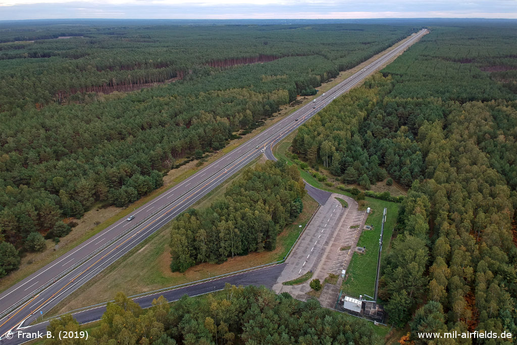
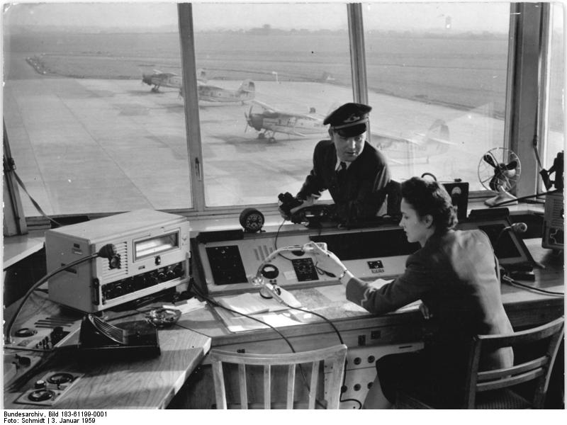
Image credits are shown on the respective target page, click on the preview to open it.
 Follow mil-airfields on Facebook