Pforzheim: Army Heliport
For historical information only, do not use for navigation or aviation purposes!
| Coordinates | N485441 E0084258 ca. (WGS84) Google Maps |
| Elevation | 1150 ft |
| Federal state | Baden-Württemberg |
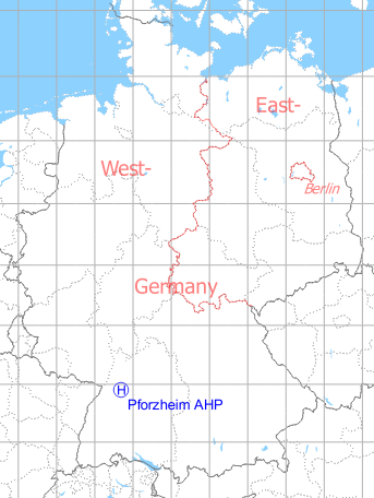
Germany during the Cold War Map
The history of the Cold War airfields: Pforzheim
Location of airfield
In the north of Pforzheim, exact location unclear, perhaps in former Wartberg Kaserne. The landing spot was said to be on the ball field.
Usage during the Cold War
US Army heliport, probably used until early/mid 1970s.
Use today
Closed.
Airfields in the vicinity
- 134°/21km Malmsheim: Airfield
- 298°/28km Karlsruhe: Airfield (Karlsruhe Army Airfield)