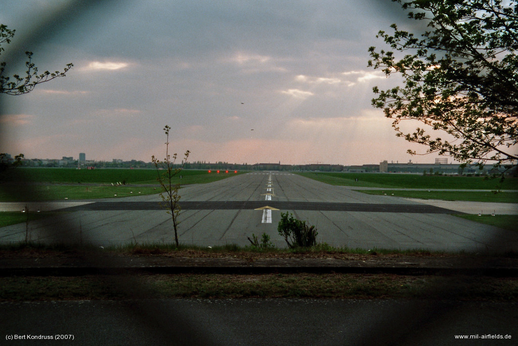
Explore historical airfields.
Between 1945 and 1990, there were more than 2000 small and large airfields and helipads in Germany alone, most of which have disappeared today. Mil-airfields.de has made it its task of documenting these aerodromes. A mammoth project that is still a long way from being completed. Although it is rather a continuous process, a lot of material has been gathered since the start of mil-airfields.de in 2000 and can be accessed here - also on related topics. And not only for Germany, but also for other European countries.
Countries


Topics
* German Language only
Proposed

Map
Find airfields in your area with the Germany map.
Radio beacons
Information about historical radio beacons in Europe
![]()
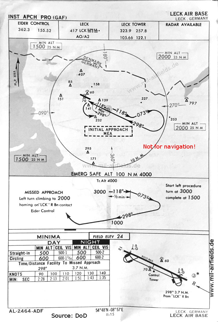
Historical approach charts
Soviet IFF systems
Directory of East German field manuals
Support mil-airfields?
(No, this is not about donations 😉)
You like mil-airfields and want to support it?
There are three simple ways you can do that.
Read more: support mil-airfields
Last changes
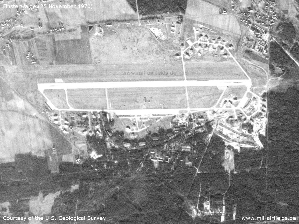
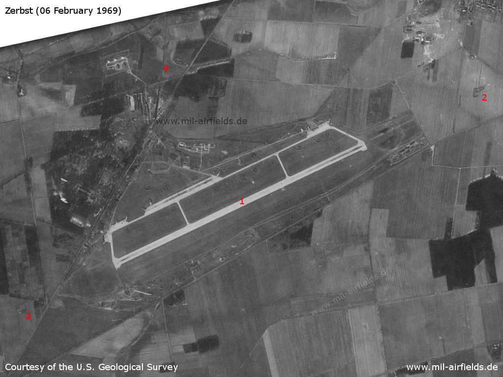
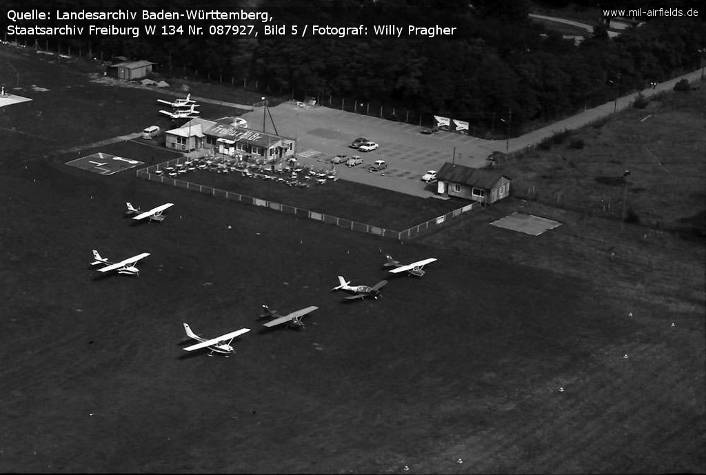
| Leipzig: Schkeuditz Airport - Temporary deployment of fighter jets |
| Dresden: Klotzsche Airport - Satellite image from 1972 |
| Holzdorf: Air Base - Satellite images from 1972, 1973, 1975 |
| Olomouc: Airfield Neředín - Satellite images 1984 |
| Garz: Airfield - Deployment of East German Fighter Wing 8 to Garz: satellite images from 1975 |
| Fürstenwalde: Airfield - More aerial and satellite images |
| Baden-Baden: Oos Airfield - Satellite images from 1979 |
| Wittenberg: Airfield - Satellite images from 1965 and 1975 |
| Alteno: Airfield - Satellite images 1979 from the aircraft arresting gear test |
| Kreuzbruch: Airfield - Aerial images 1953 |