For historical information only, do not use for navigation or aviation purposes!
| Coordinates | N490132 E0141247 (WGS84) Google Maps |
The history of the Cold War airfields: Netolice
General
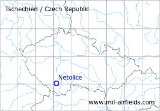
Netolice is located in the southwest of the Czech Republic, about 20 km northwest of České Budějovice and about 40 km from the border to Germany and Austria. During the Cold War there was a military auxiliary airfield with a grass runway. Today, the aerodrome is closed, the area is used by model airplanes and others.
During the Cold War
Use
Probably reserve airfield.
Situation
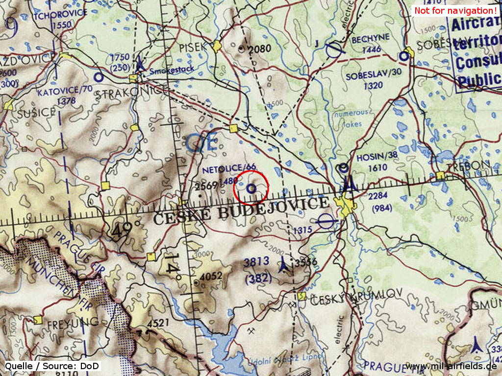
Netolice Airfield on a map of the US Department of Defense from 1972
Source: ONC E-2 (1972), Perry-Castañeda Library Map Collection, University of Texas at Austin
Overview
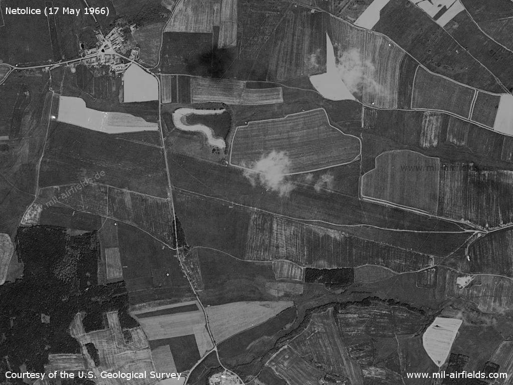
Netolice Airfield on a US satellite image from 17 May 1966
Source: U.S. Geological Survey
Runways
- 10/28: 2500 m Grass
Today
Use
Closed. Used as model flying field.
Links
- http://www.lmk-babice.cz - Model flying club
 Follow mil-airfields on Facebook