For historical information only, do not use for navigation or aviation purposes!
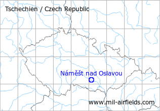
| Coordinates | N490957 E0160730 (WGS84) Google Maps |
| Elevation | 1549 ft |
| Location indicator | LKNA |
| Airfield Id | Punkt 140 |
The history of the Cold War airfields: Náměšt nad Oslavou
During the Cold War
Use
Air base.
Overview
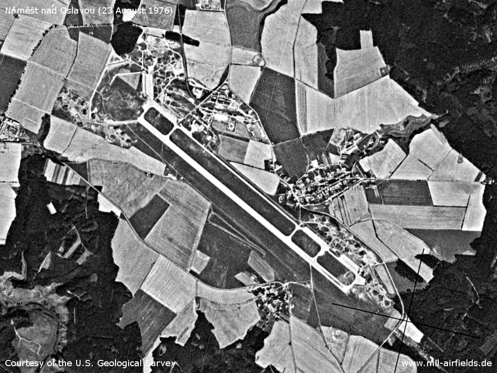
Náměšt nad Oslavou Air Base on a US satellite image from 23 August 1976
Source: U.S. Geological Survey
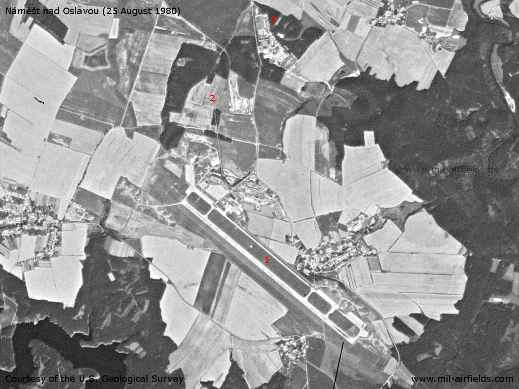
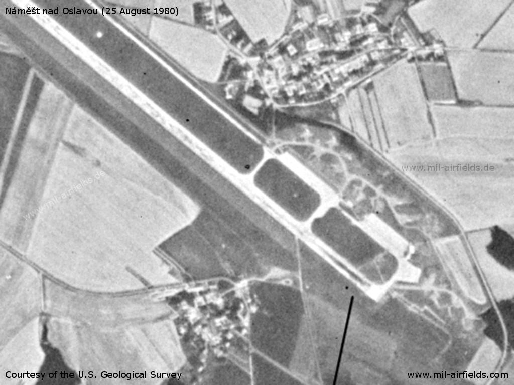
Náměšt nad Oslavou Air Base on a US satellite image from 25 August 1980 - 1: Air base, 2: railway siding, 3: barracks
Source: U.S. Geological Survey
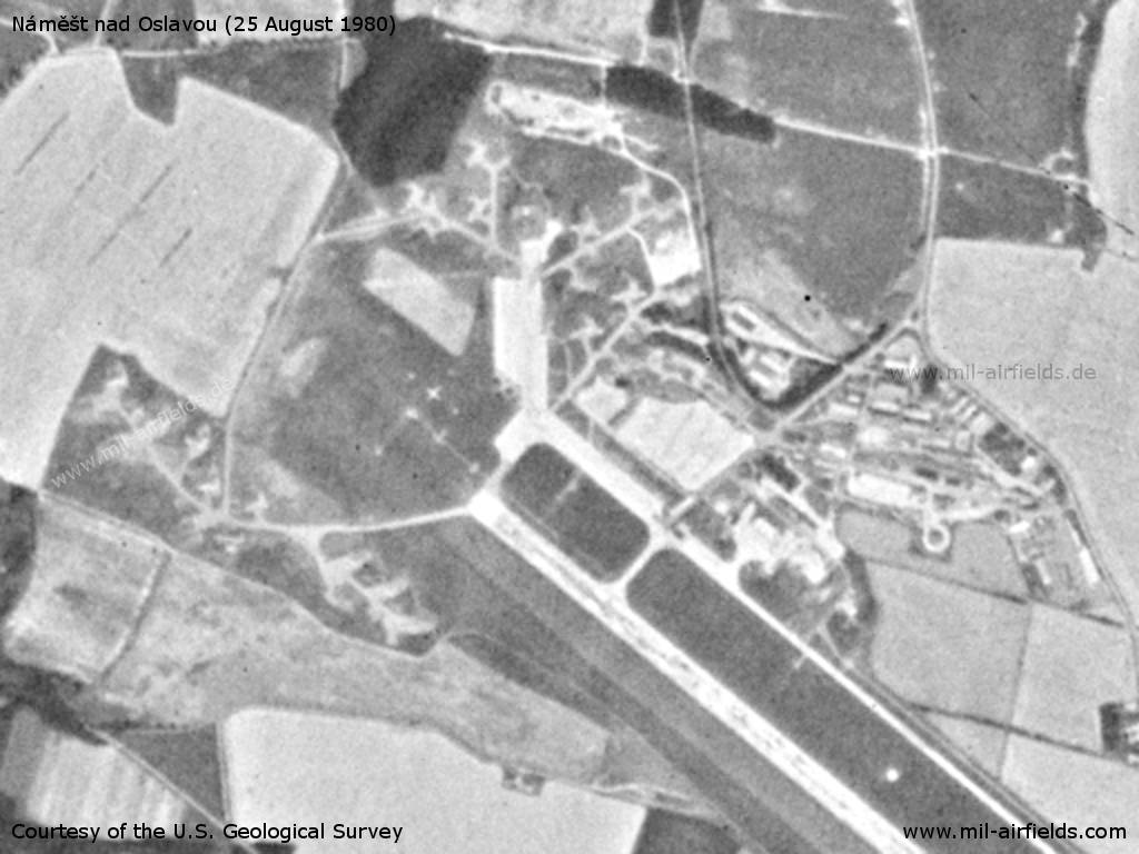
Northwestern part
Source: U.S. Geological Survey
Southeastern part
Source: U.S. Geological Survey
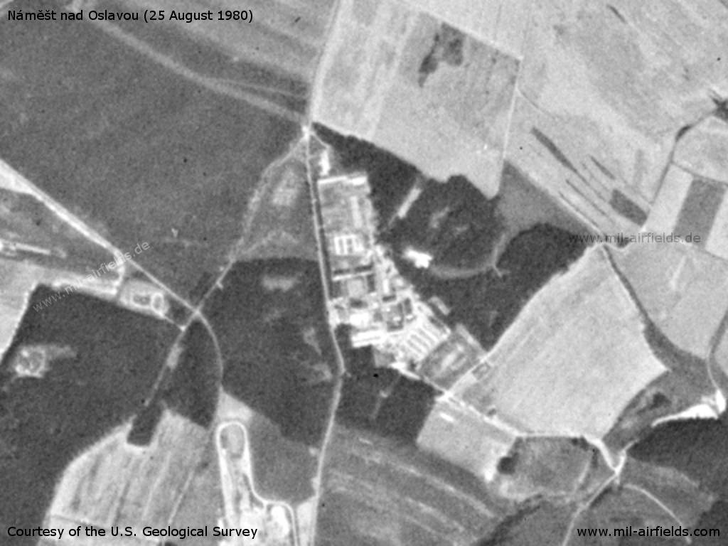
Barracks
Source: U.S. Geological Survey
Radio communication
The radio call sign of the airfield was "LUNA" (198x).
According to western signals intelligence (SIGINT), the airfield was also called "Navigacni Punkt 140" by the Czechoslovak Air Force.
Units
20 SBOLP "Biskajsky": L-29, Su-22M4/UM3K (1990)
Today
Use
Military airfield.
Airfields in the vicinity
- 134°/14km Jamolice: Airfield (Letiště Jamolice)
- 330°/28km Měřín: Highway Strip (Merin)
- 088°/39km Brno: Slatina Airfield (Letiště Černovice)
 Follow mil-airfields on Facebook