For historical information only, do not use for navigation or aviation purposes!
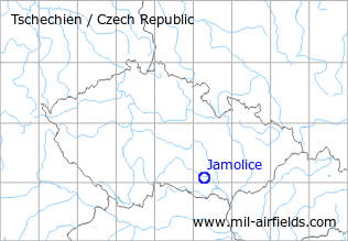
| Coordinates | N490453 E0161531 (WGS84) Google Maps |
| Region | Moravský Krumlov |
The history of the Cold War airfields: Jamolice
During the Cold War
Use
Reserve airfield.
Situation
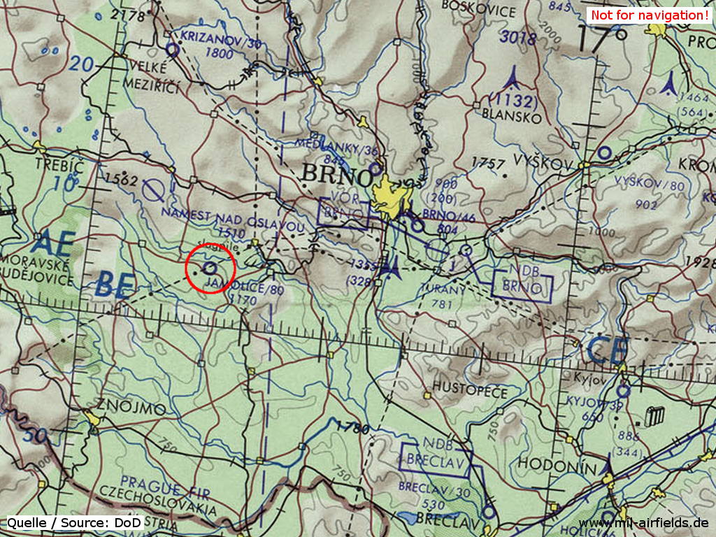
Jamolice Airfield on a map of the US Department of Defense from 1973
Source: ONC E-3 (1973), Perry-Castañeda Library Map Collection, University of Texas at Austin
Overview
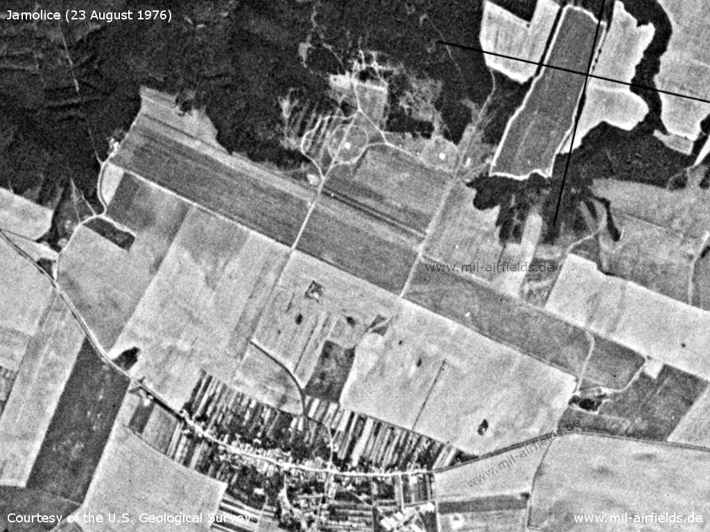
Jamolice Airfield on a US satellite image from 23 August 1976
Source: U.S. Geological Survey
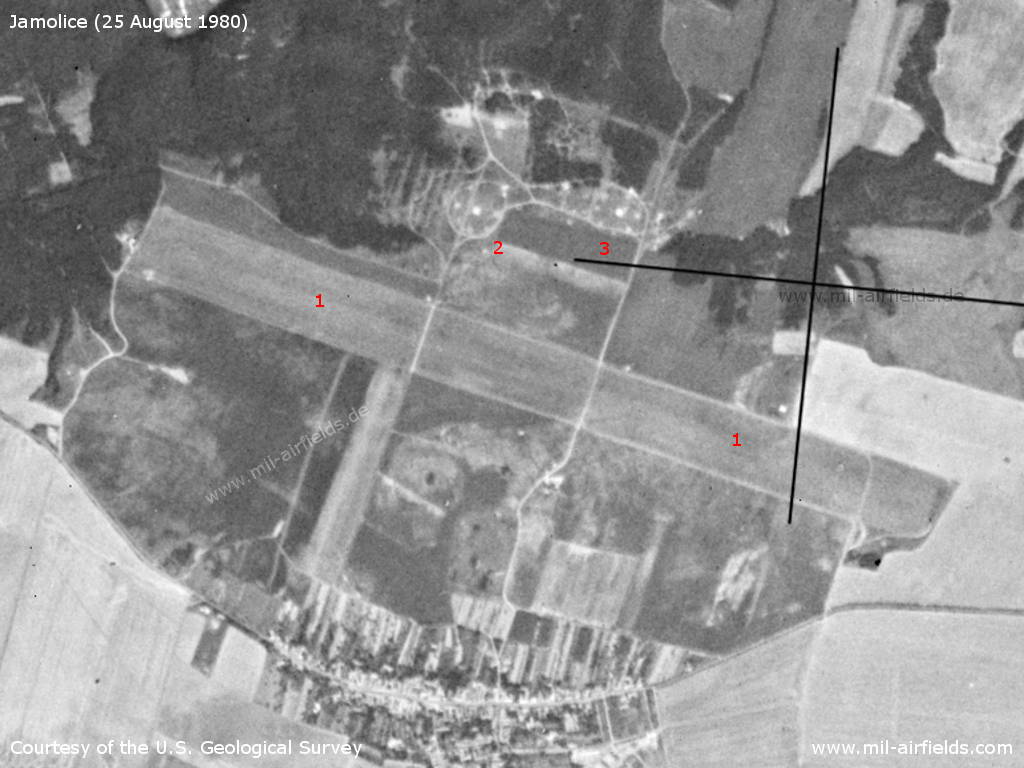
Jamolice Airfield on a US satellite image from 25 August 1980 - 1: runway, 2 and 3: circular structures similar to an anti-aircraft missile position. According to the linked article "Za letištěm Moravský Krumlov - Jamolice" (see below) there was a training site of the 76th Anti-aircraft missile brigade Brno.
Source: U.S. Geological Survey
Runways
- 12/30: 2500 m Grass
Today
Use
Closed.
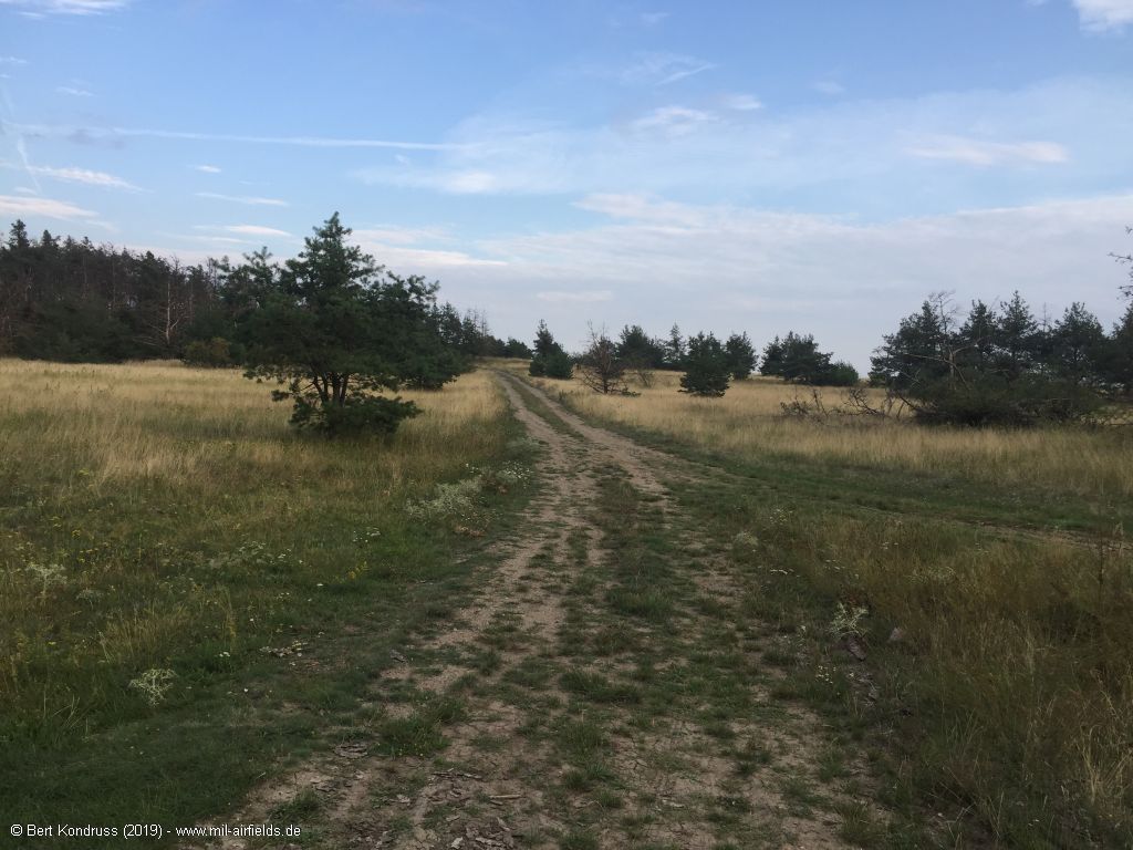
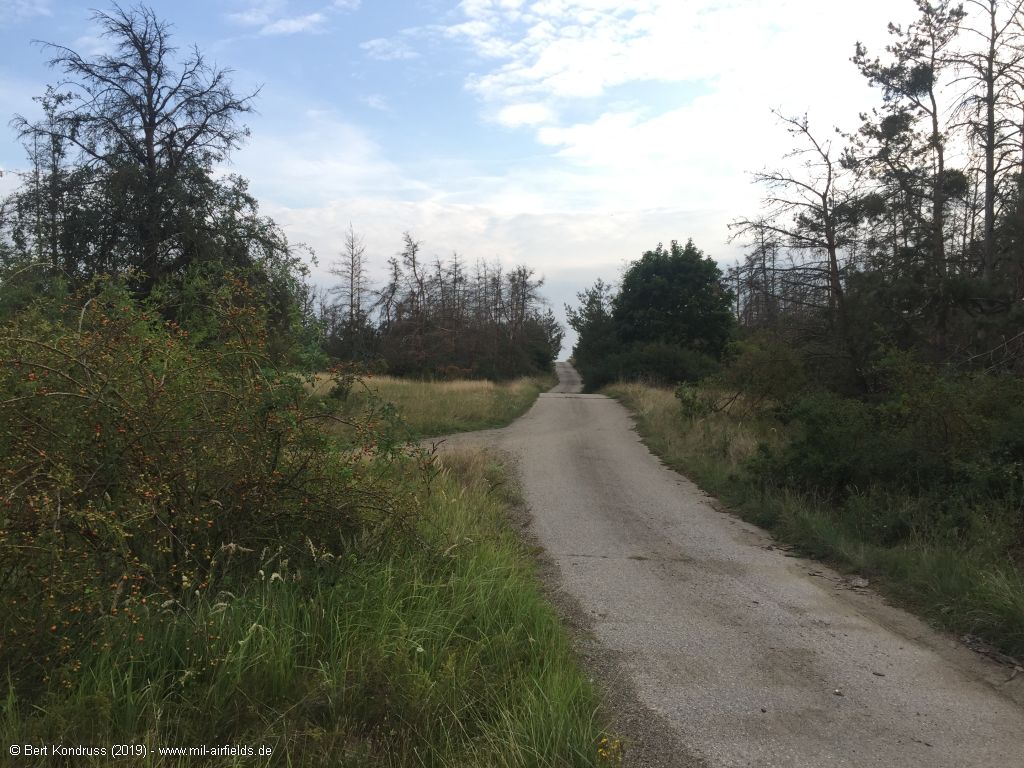
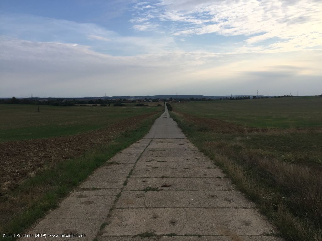
Pictures 2019
The former airfield is no longer recognizable
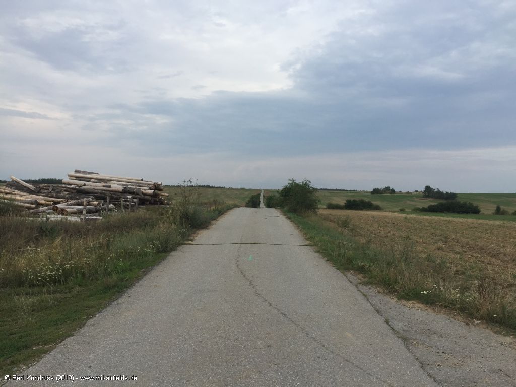
Road from Jamolice into direction northeast to the former airfield
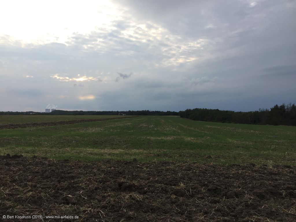
Western part of the former runway - On the left in the background are the cooling towers of the Dukovany nuclear power plant, 7 km west.
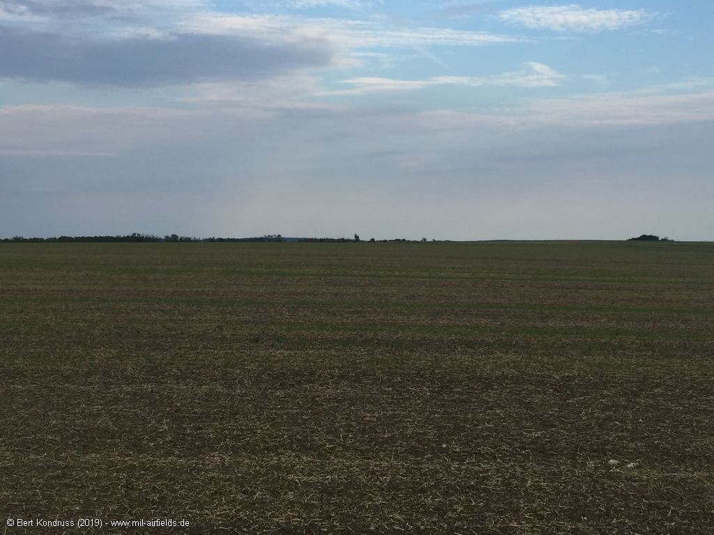
Eastern part of the former runway
Northern part
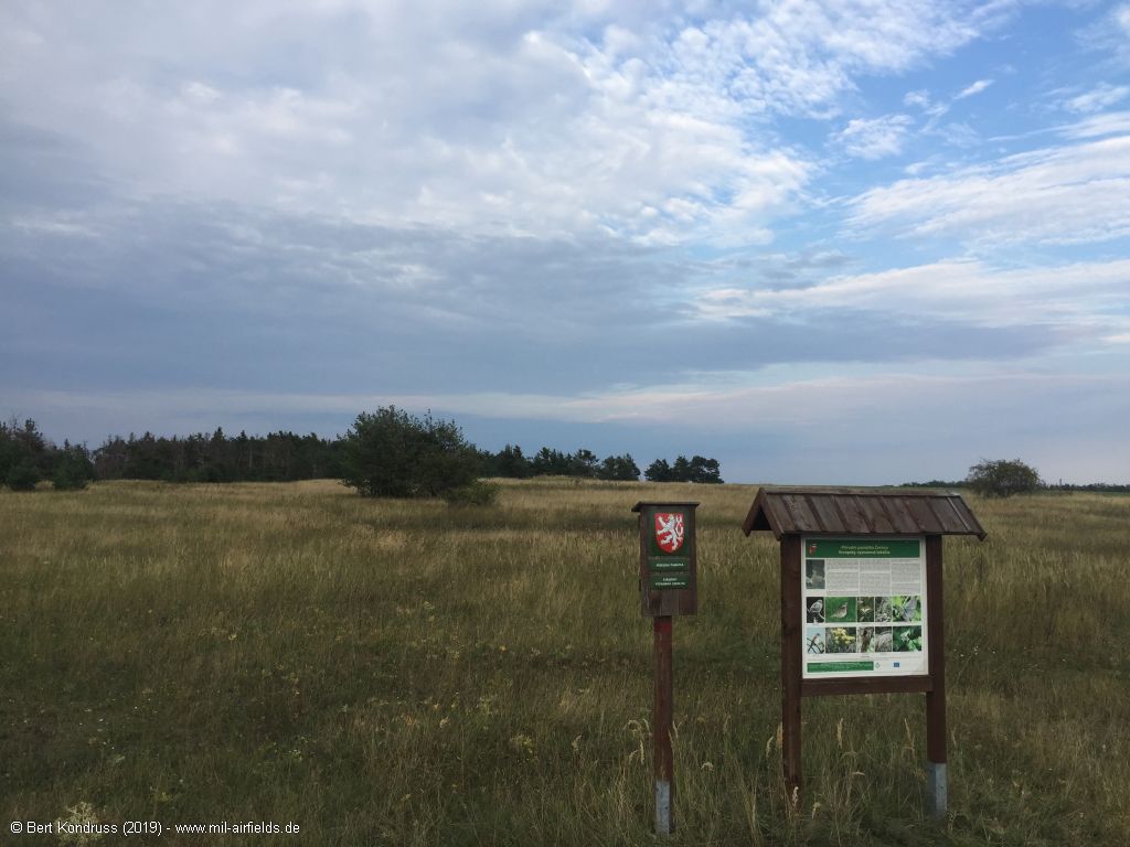
Today a nature park
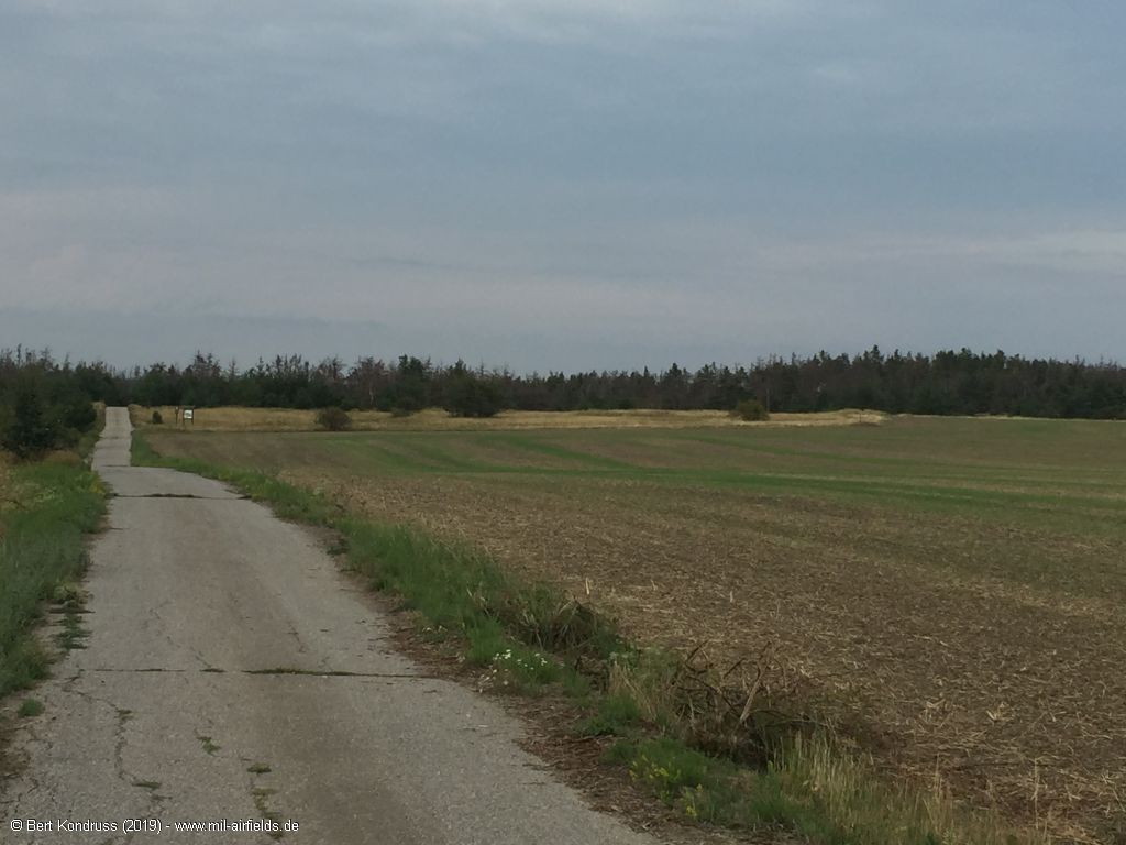
Road back in direction southwest to the village of Jamolice
Links
- http://www.letistecr.cz/zajimavosti/za-letistem-mo... - Za letištěm Moravský Krumlov - Jamolice (Czech language) in MAGAZÍN LETIŠTĚ České republiky
Airfields in the vicinity
Categories
Air Bases CzechiaRecommended
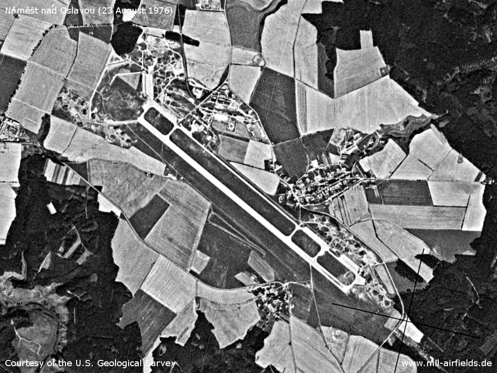
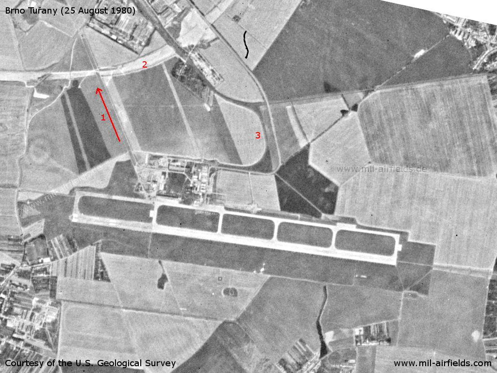
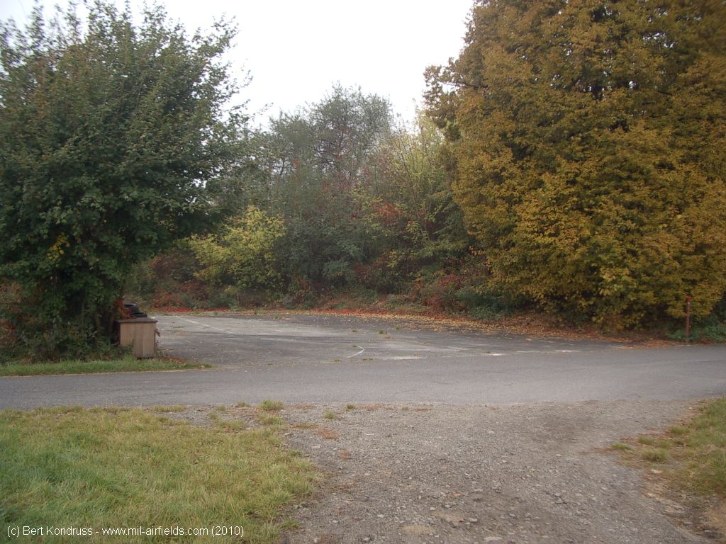
Image credits are shown on the respective target page, click on the preview to open it.
 Follow mil-airfields on Facebook