For historical information only, do not use for navigation or aviation purposes!
| Coordinates | N494750 E0124221 (WGS84) Google Maps |
The history of the Cold War airfields: Tachov
During the Cold War
Use
Reserve airfield?
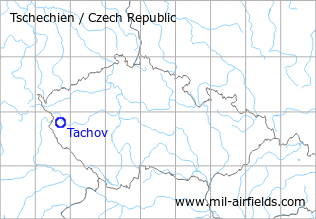
Situation
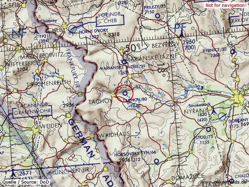
Tachov Airfield on a map of the US Department of Defense from 1972
Source: ONC E-2 (1972), Perry-Castañeda Library Map Collection, University of Texas at Austin
Overview
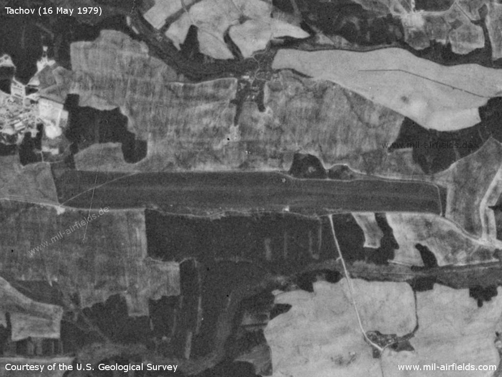
Tachov Airfield on a US satellite image from 16 May 1979
Source: U.S. Geological Survey
Runways
- 09/27: 2300 m Grass
Today
Use
General aviation airfield.
 Follow mil-airfields on Facebook