For historical information only, do not use for navigation or aviation purposes!
| Coordinates | N492552 E0134750 (WGS84) Google Maps |
| Elevation | 1539 ft |
| Location indicator | LKBL |
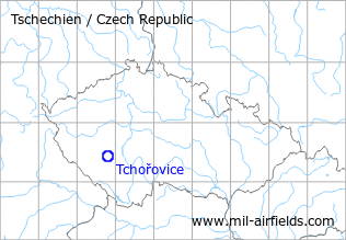
The history of the Cold War airfields: Tchořovice
During the Cold War
Usage during the Cold War
Reserve airfield.
Situation
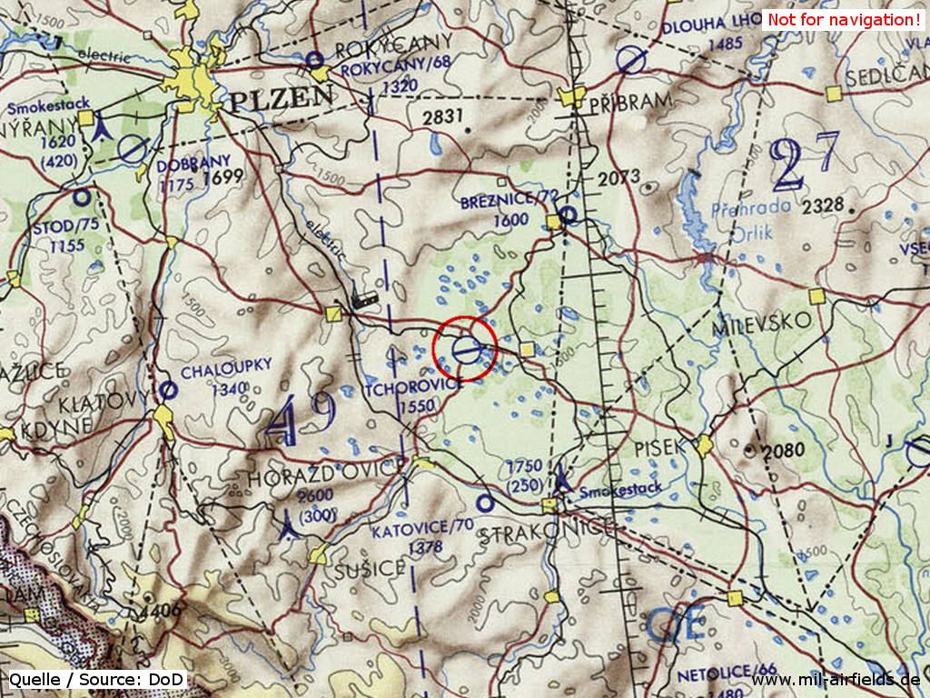
Tchořovice Airfield on a map of the US Department of Defense from 1972
Source: ONC E-2 (1972), Perry-Castañeda Library Map Collection, University of Texas at Austin
Overview
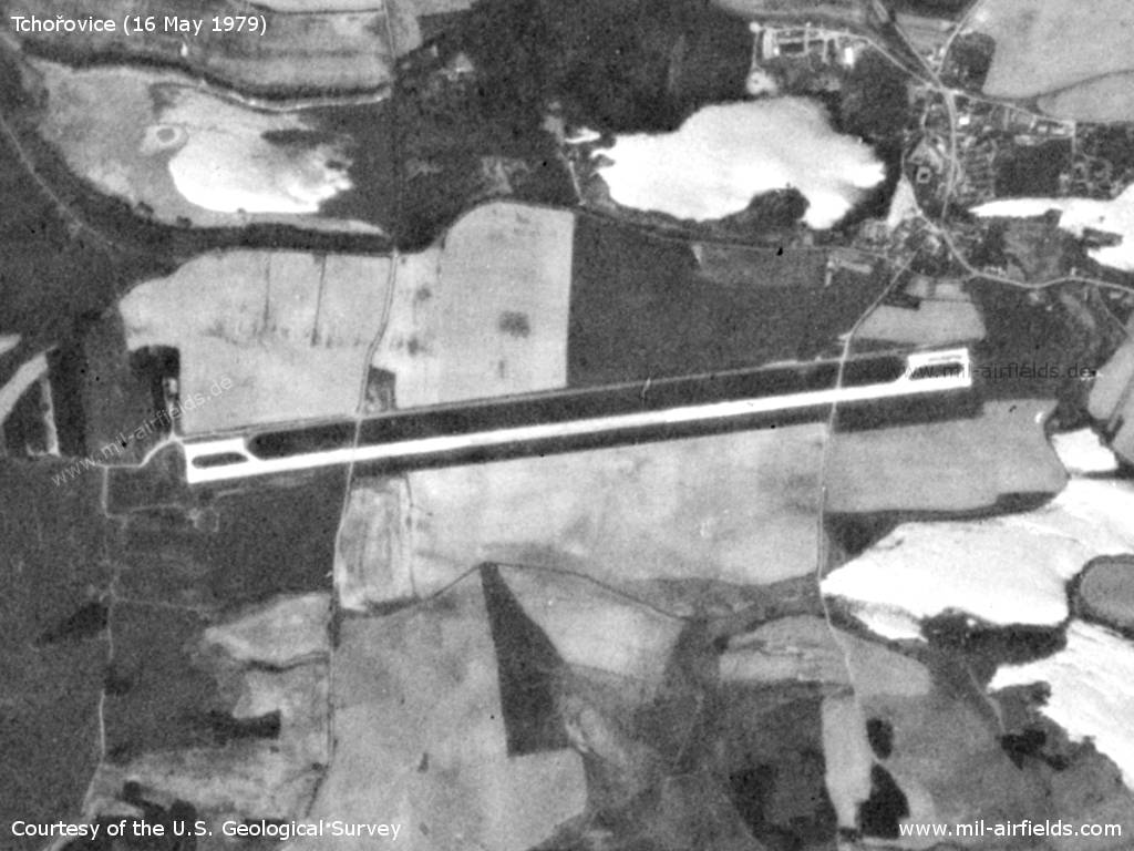
Tchořovice Airfield on a US satellite image from 16 May 1979. - Already at this time two roads lead across the runway. Apparently the two ramp areas were later extended towards the center of the field.
Source: U.S. Geological Survey
Runways
- 08/26: 2000 m x 30 m
Radio communication
The airfield call sign was TRAMEC (1990).
According to western signals intelligence (SIGINT), the airfield was also called "Navigacni Punkt 830" by the Czechoslovak Air Force (previously "Navigacni Punkt 806").
Installations
Simple layout with runway, parallel taxiway and 2 ramps at each end.
Links
- http://www.vrtulnik.cz/accidents/foto266.htm - Accident of a Mi-4 at Tchorovice in 1975
Airfields in the vicinity
- 178°/18km Katovice: Airfield (Letiště Katovice)
- 043°/20km Březnice: Airfield (Letiště Březnice)
- 034°/39km Přibram: Airfield: Dlouhá Lhota (Letiště Přibram, Pribram)
- 337°/39km Rokycany: Airfield (Letiště Rokycany)
 Follow mil-airfields on Facebook