For historical information only, do not use for navigation or aviation purposes!
| Coordinates | N501260 E0142347 (WGS84) Google Maps |
| Elevation | 919 ft |
| Location indicator | LKVO |
The history of the Cold War airfields: Vodochody
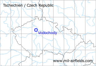
Location of airfield
North-northwest of Klecany.
During the Cold War
Use
Aero aircraft manufacturing company.
Situation
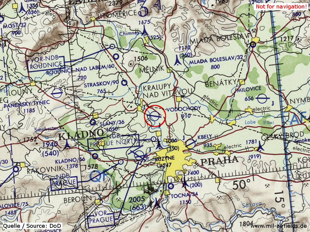
Vodochody Airfield on a map of the US Department of Defense from 1973
Source: ONC E-3 (1973), Perry-Castañeda Library Map Collection, University of Texas at Austin
Overview
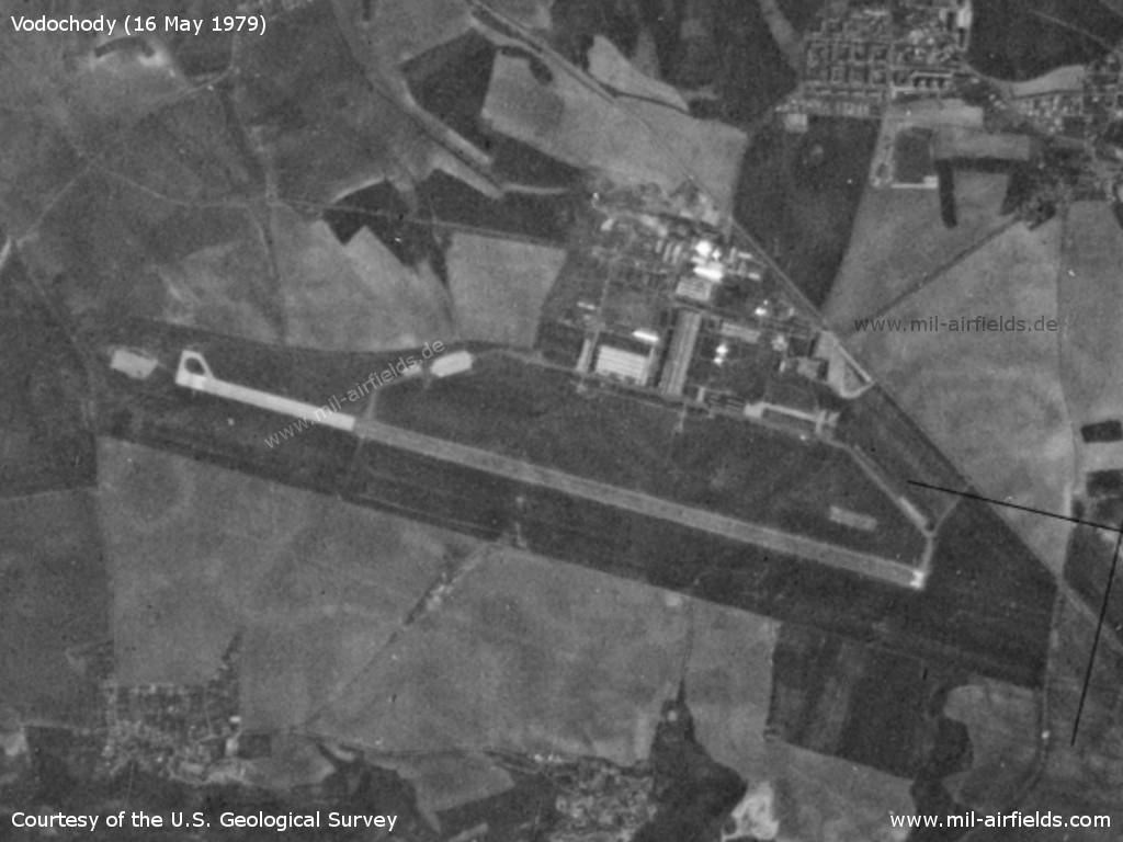
Vodochody Airfield on a US satellite image from 16 May 1979
Source: U.S. Geological Survey
Radio communication
The radio call sign of the airfield was "BAKELIT"? Also used "Vodochody Approach / Tower" (1970)
According to western signals intelligence (SIGINT), the airfield was also called "Navigacni Punkt 450" by the Czechoslovak Air Force.
Airfields in the vicinity
- 136°/13km Letňany: Airfield (Letiště Letňany)
- 135°/15km Praha: Kbely Air Base (Letiště Praha Kbely, Prague Kbely)
- 321°/15km Sazená: Airfield (Letiště Sazená, Straškov)
- 217°/16km Praha: Ruzyně Airport (Letiště Praha Ruzyně, Prague Ruzyně)
- 243°/25km Kladno: Airfield (Letiště Kladno)
- 331°/25km Roudnice nad Labem: Airfield (Letiště Roudnice nad Labem)
 Follow mil-airfields on Facebook