Vyškov: Highway Strip
For historical information only, do not use for navigation or aviation purposes!
| Coordinates | N491758 E0170135 (WGS84) Google Maps |
The history of the Cold War airfields: Vyškov
Location of airfield
The highway strip is located immediately to the east of Vyškov airfield.
During the Cold War
Runways
- 02/20: 2800 m Highway Strip
Today
Images
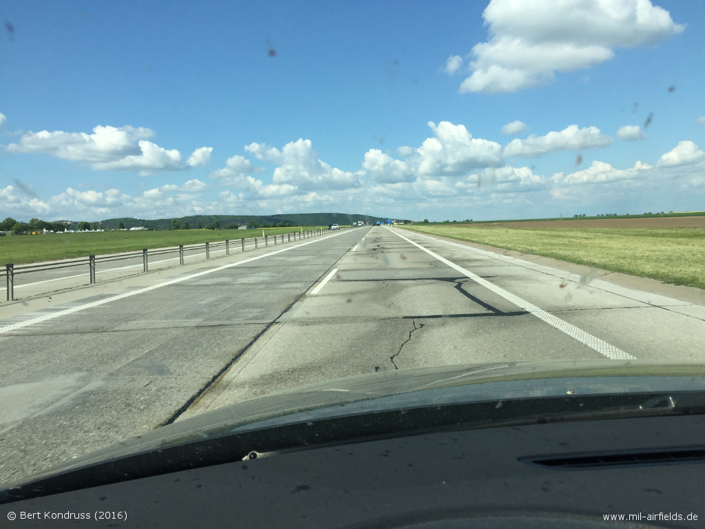
Picture from 2016, in northeast direction - Vyškov airfield is on the left. In the background you can see the airplanes in the museum at the airfield
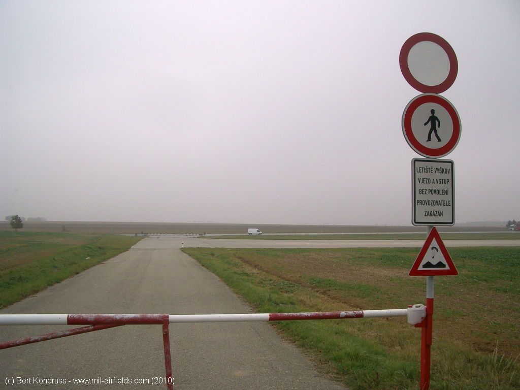
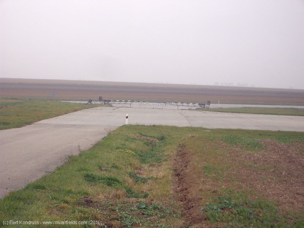
Northeastern end (2010) - The white van is on the motorway. In front of it is the parking area, which merges into the runway of Vyskov airfield.
Barriers to the motoway
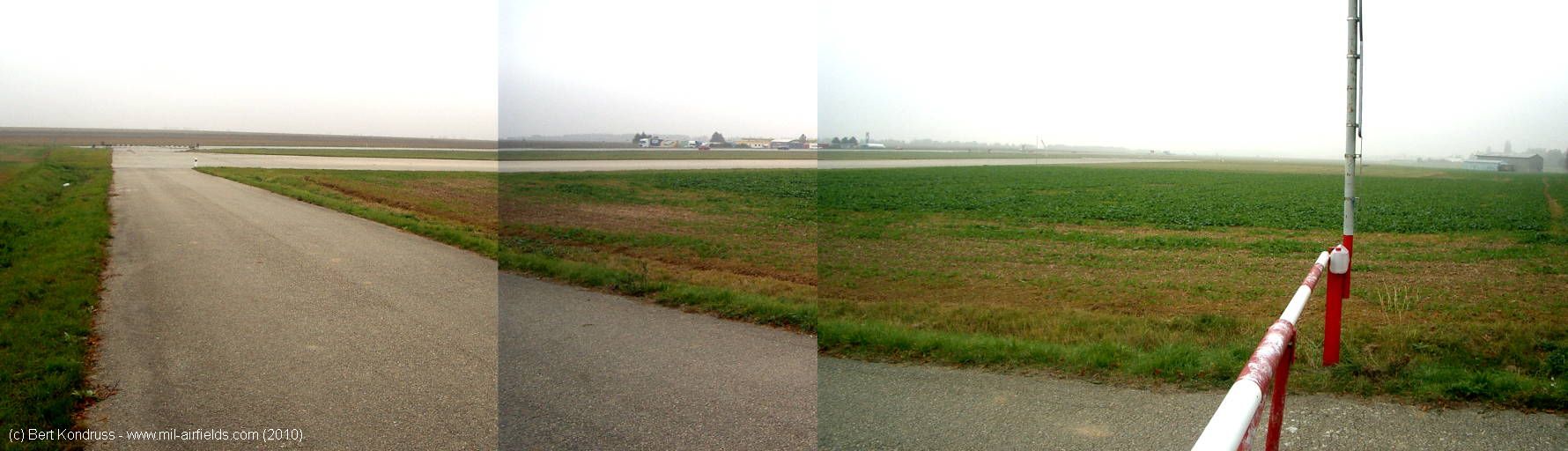
Overall view - In the background there is a service station. On the right-hand side, the site merges into Vyskov airfield.
Airfields in the vicinity
- 302°/0,1km Vyškov: Airfield (Letiště Vyškov)
- 025°/18km Prostějov: Airfield (Letiště Prostějov)
- 236°/29km Brno: Tuřany Airport (Letiště Brno, Turany)
- 243°/29km Brno: Slatina Airfield (Letiště Černovice)
- 063°/31km Přerov: Air Base (Letiště Přerov, Bochor)
- 022°/35km Olomouc: Airfield: Neředín (Letiště Olomouc, Olmütz-Neredin, Аэродром Оломоуц)
- 107°/37km Otrokovice: Airfield (Letiště Otrokovice)
Recommended
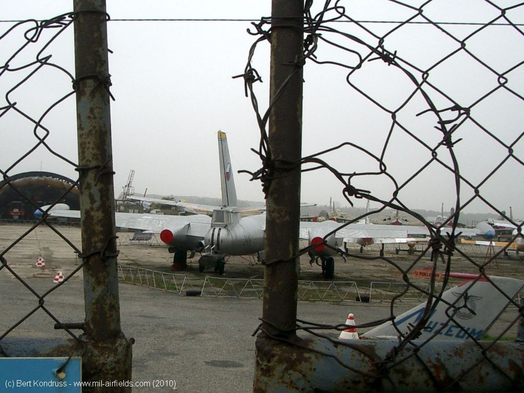
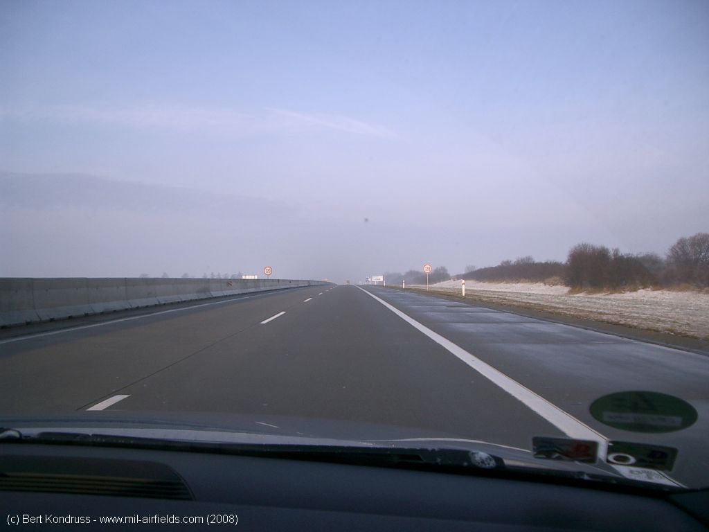

Image credits are shown on the respective target page, click on the preview to open it.
 Follow mil-airfields on Facebook