For historical information only, do not use for navigation or aviation purposes!
| Coordinates | N513427 E0062555 (WGS84) Google Maps |
| Federal state | Nordrhein-Westfalen (North Rhine-Westphalia) |
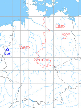
Germany during the Cold War Map
The history of the Cold War airfields: Alpen
General
On the Autobahn A57 in the vicinity of Alpen-Sonsbeck, an emergency landing field was prepared during the Cold War. After the reunification, it was given up.
Location of airfield
Autobahn A57, 13 km east of Kevelaer.
During the Cold War
Use
Highway Strip
Runways
- 12/30: 3100 m
Today
Use
Closed.
 Follow mil-airfields on Facebook