For historical information only, do not use for navigation or aviation purposes!
| Coordinates | N515121 E0112506 (WGS84) Google Maps |
| Former East Germany (GDR) | District of Halle |
| Federal state | Sachsen-Anhalt (Saxony-Anhalt) |
| Location indicator | EDBC |

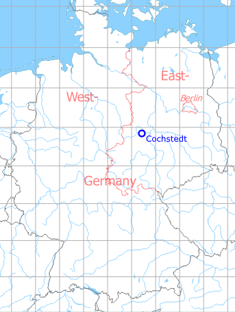
Germany during the Cold War Map
The history of the Cold War airfields: Cochstedt
During the Cold War
Use
Soviet forces airfield.
In the 1960s
Overview
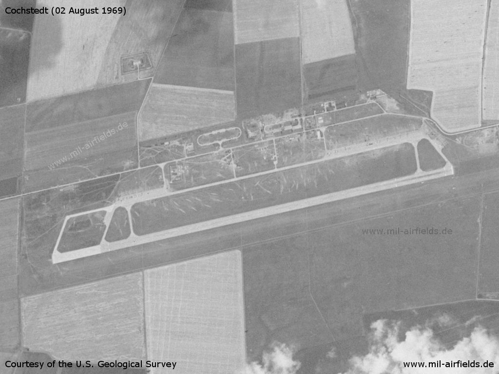
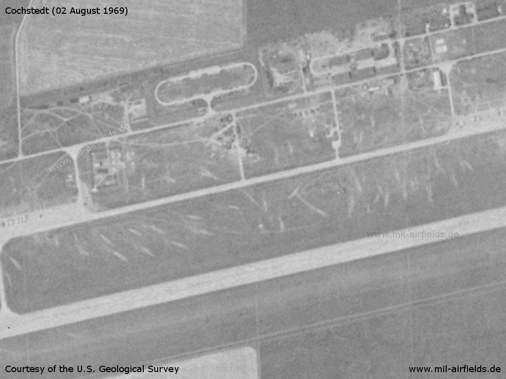
Cochstedt Airfield on a US satellite image from 02 August 1969
Source: U.S. Geological Survey
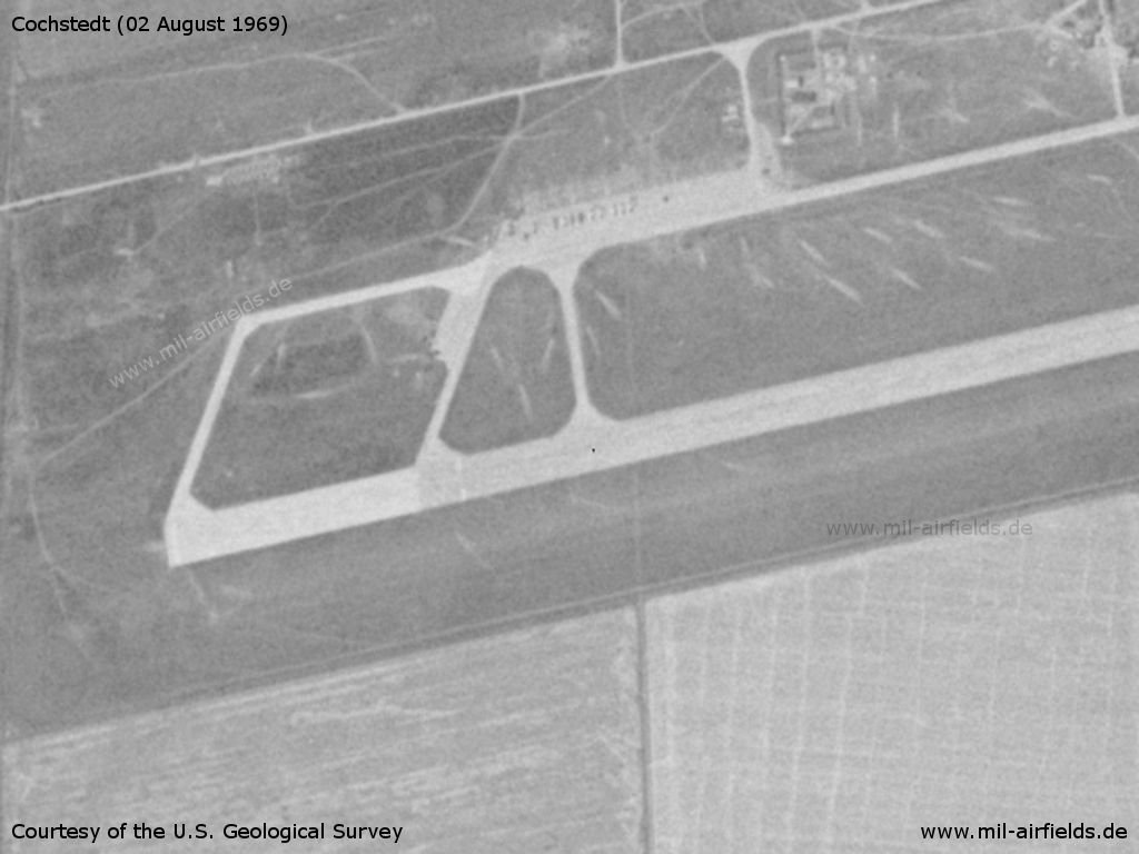
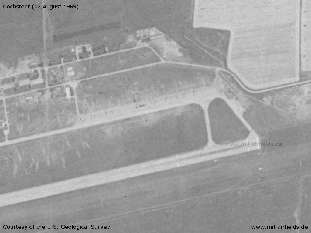
Western end of the Cochstedt runway
Source: U.S. Geological Survey
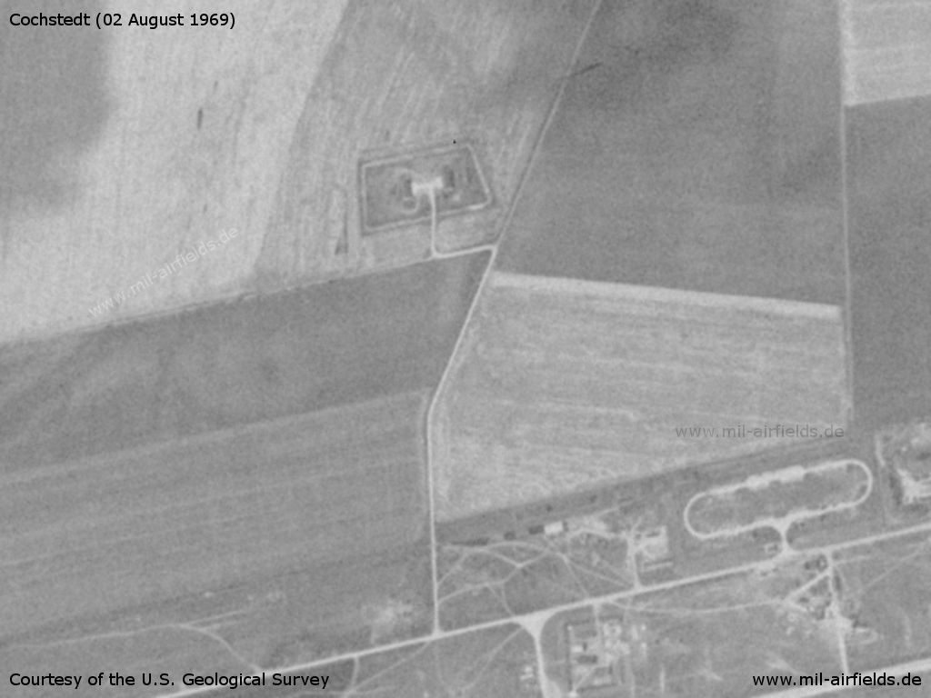
Storage object north of the airfield
Source: U.S. Geological Survey
Central area
Source: U.S. Geological Survey
Eastern flight line and begin of runway
Source: U.S. Geological Survey
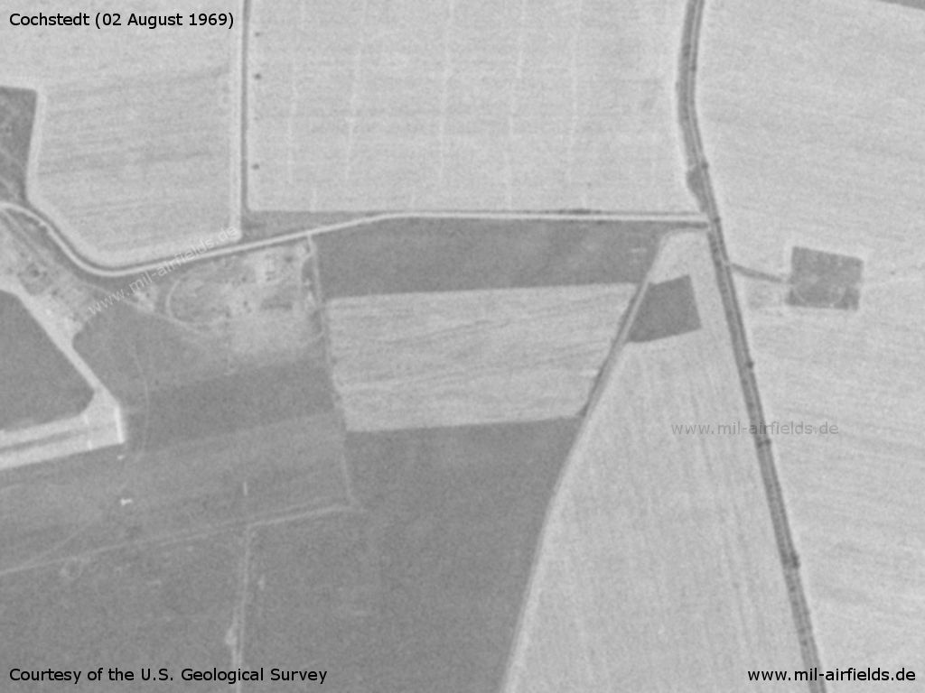
Radio beacon east of the airfield (right margin)
Source: U.S. Geological Survey
In the 1970s
Situation
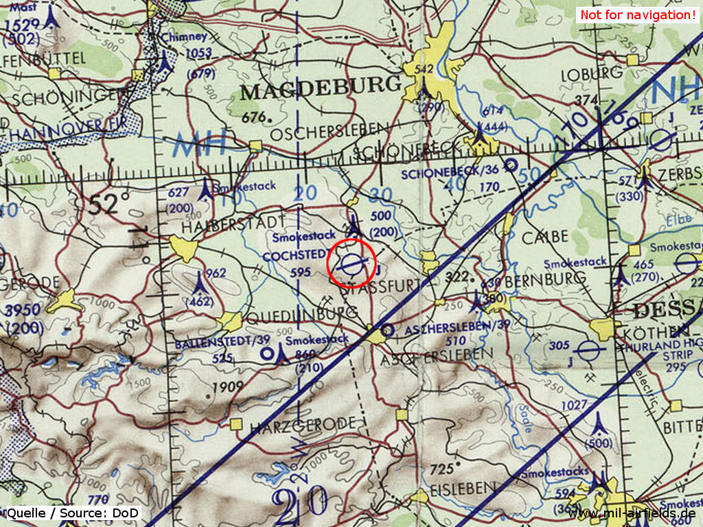
Cochstedt Airfield on a map of the US Department of Defense from 1972 - The blue lines mark the southern allied air corridor from and to Berlin (ONC E-2 (1972), Perry-Castañeda Library Map Collection, University of Texas at Austin /PCL MC/)
Overview
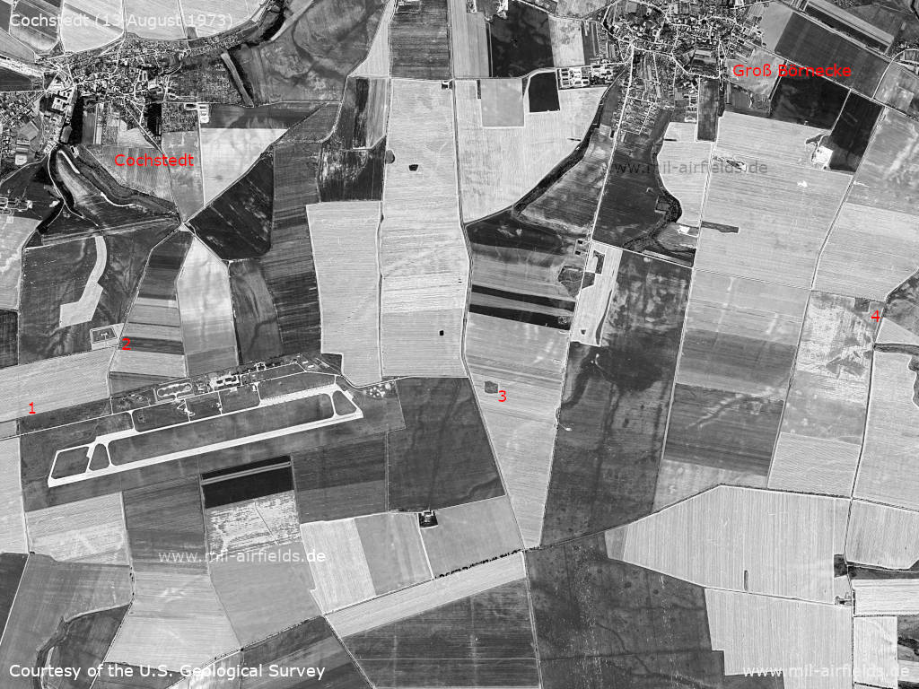
The airfield and surrounding objects on a satellite image from August 13, 1973.
Source: U.S. Geological Survey
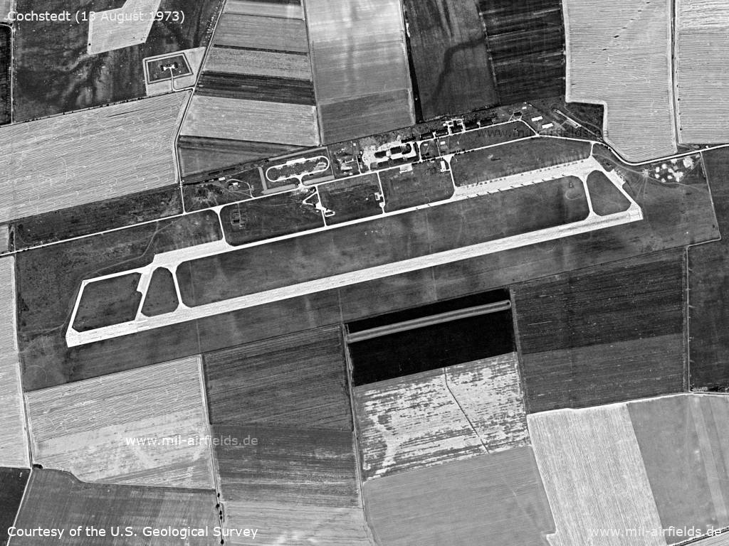
Airfield
Source: U.S. Geological Survey
Western flight line, tank farm - In the grass north of the flight line, stripes can be seen that may have been caused by jet engine exhaust.
Source: U.S. Geological Survey
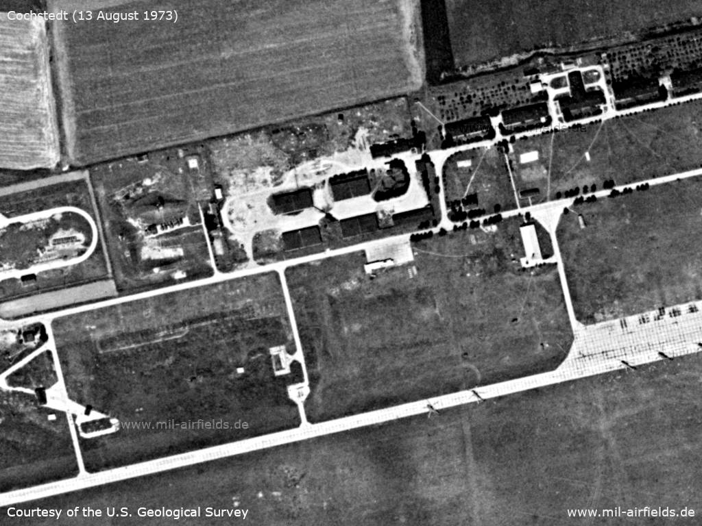
Buildings
Source: U.S. Geological Survey
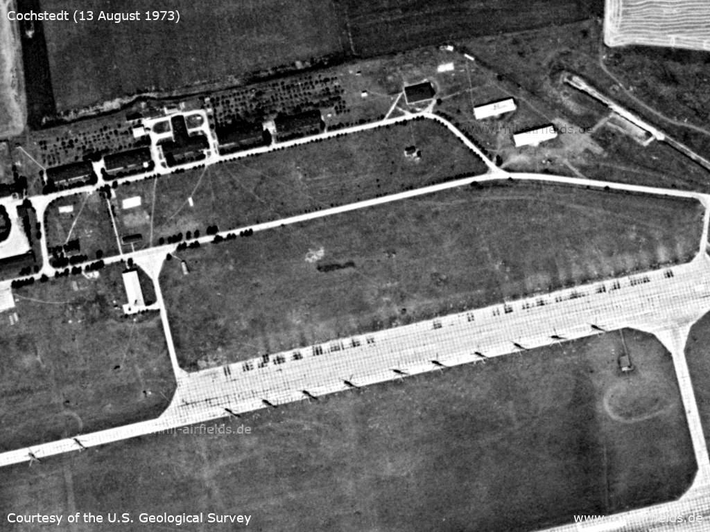
Eastern flight line - A total of 12 helicopters are parked on the flight line and on the adjacent taxiway.
Source: U.S. Geological Survey
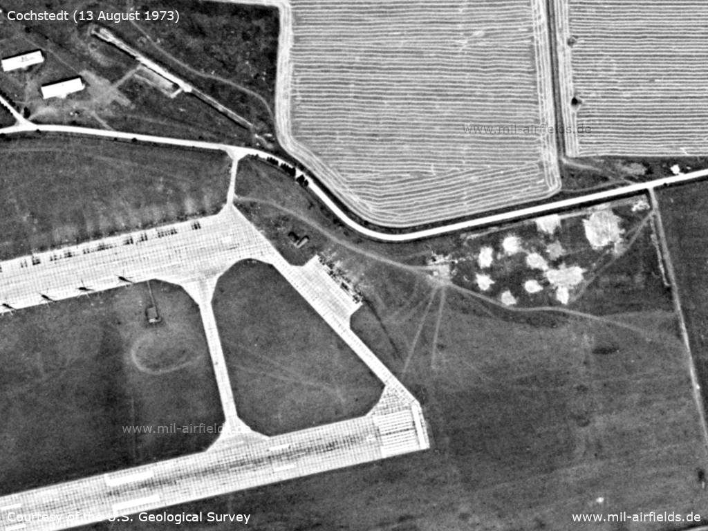
Eastern part with runway - The patches arranged in a hexagon northeast of the runway could be an antiaircraft position.
Source: U.S. Geological Survey
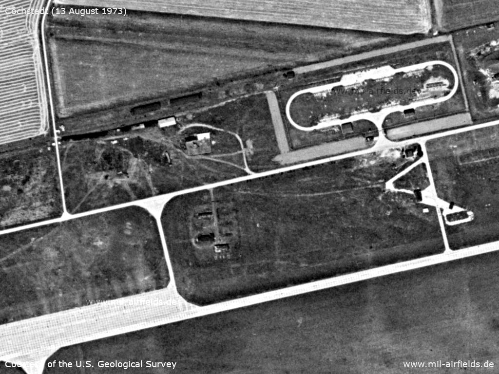
Storage object
Source: U.S. Geological Survey
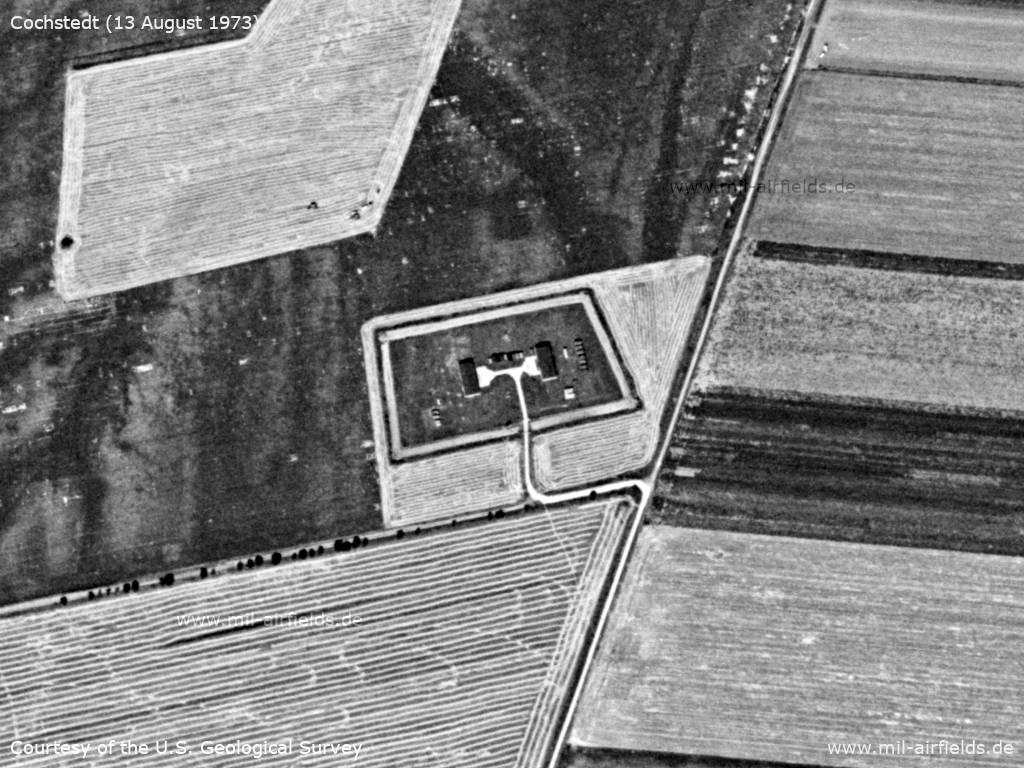
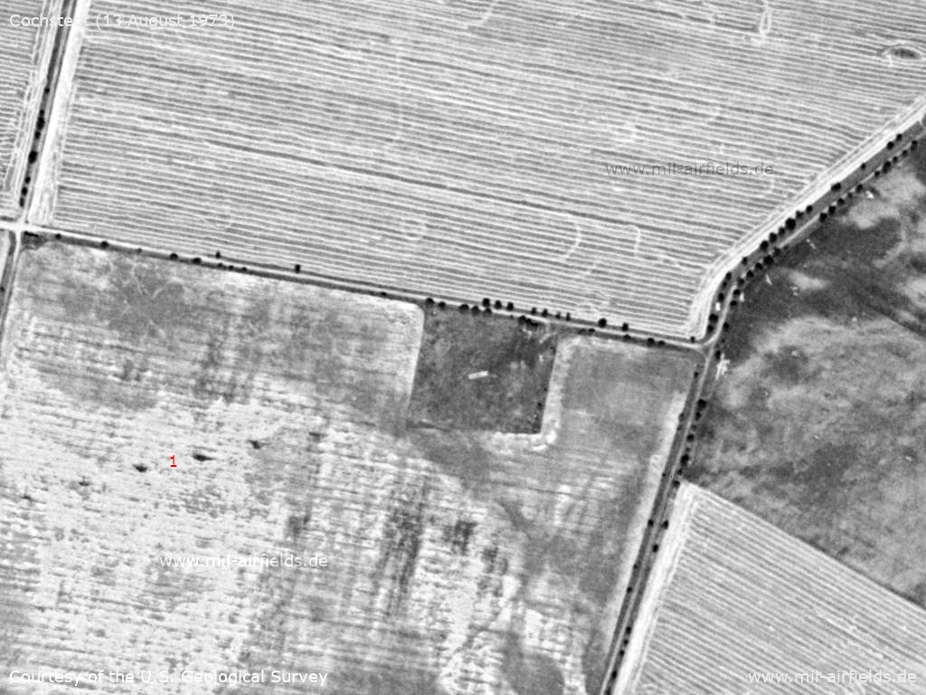
Radio beacon / middle marker east of the field approx. 1 km east of the airfield. - 1: Masts with power line to the radio beacon / outer marker about 3 km further to the east.
Source: U.S. Geological Survey
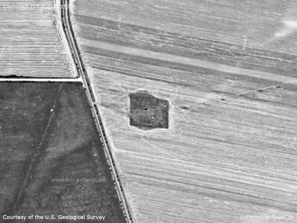
Radio beacon / outer marker - The site looks unoccupied, possibly the beacon was not set up. 1: Stromleitung vom Flugplatz
Source: U.S. Geological Survey
In the 1980s and early 1990s
Runways
- 08/26: 2500m Concrete
Radio beacons
- LOM 26: 950 "S"
- LMM 26: 470 "SL"
Radio communication
The call sign was SADOVIJ.
Units
292 OVE: Mi-8
History
- April 14th, 1988
A team of the US Military Liaison Mission observes an air-to-air training of MiG-23 FLOGGER G/K above Cochstedt airfield. (Source: USMLM 1988)
Today
Use
Airport.
Bibliography
- /USMLM 1988/:
United States Military Liaison Mission: "Unit History 1988"