For historical information only, do not use for navigation or aviation purposes!
| Coordinates | N515553 E0105413 (WGS84) Google Maps |
| Former East Germany (GDR) | District of Magdeburg |
| Federal state | Sachsen-Anhalt (Saxony-Anhalt) |
Germany during the Cold War Map
The history of the Cold War airfields: Athenstedt
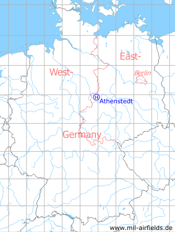
Location of airfield
0,7 km southwest of Athenstedt. The helipad was in the northeastern corner of the radar site.
Usage during the Cold War
Helipad 3183 for Radar company 613 (FuTK-613) of former East German Air Force (NVA LSK/LV).
Use today
Closed.
Runways, taxiways, aprons
Dimensions: 19 m x 19 m, 2 parking pads,
Main takeoff and landing direction: 270°,
Surface: Concrete,
Usable without crop damage,
Capacity: 2 helicopters
Main takeoff and landing direction: 270°,
Surface: Concrete,
Usable without crop damage,
Capacity: 2 helicopters
Telephone
Stabsnetz S1 24301-733
Airspace and procedures
Usable at day during good weather conditions
Alert time: 60 minutes
Alert time: 60 minutes
Obstacles
Antenna: distance 24 m, height 8 m
Hill: distance 35 m, height 5 m
Hill: distance 35 m, height 5 m