For historical information only, do not use for navigation or aviation purposes!
| Coordinates | N532809 E0141150 (WGS84) Google Maps (approximate location) |
| Former East Germany (GDR) | District of Neubrandenburg |
| Federal state | Mecklenburg-Vorpommern (Mecklenburg-Western Pomerania) |
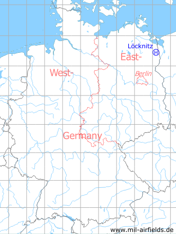
Germany during the Cold War Map
The history of the Cold War airfields: Löcknitz
Location of airfield
2 km northwest of Loecknitz.
Usage during the Cold War
Helipad 3380 for Nachrichten- und Flugsicherungswerkstatt und -lager 33 (NFWL-33) and Nachrichten- und Flugsicherungsausbildungskompanie 33 (NFAK-33) of former East German Air Force (NVA LSK/LV).
Use today
Closed.
Runways, taxiways, aprons
Dimensions: 90 m x 90 m,
Main takeoff and landing direction: 300° - 310°,
Surface: sandy, partly gras,
Capacity: 1 helicopter.
Main takeoff and landing direction: 300° - 310°,
Surface: sandy, partly gras,
Capacity: 1 helicopter.
Telephone
Stabsnetz S1 47333-88
Airspace and procedures
Usable at day during good weather conditions.
Alert time: 60 minutes.
Alert time: 60 minutes.
Obstacles
Power transmission line: direction 270°, height 15 m;
Buildings: direction 90°, height 15 m.
Buildings: direction 90°, height 15 m.
Airfields in the vicinity
- 225°/4km Bergholz: Agricultural Airfield
- 323°/15km Stallberg: Helipad 3330 (HSLP / HLP 3330)
- 132°/16km Ladenthin: Helipad 1020 (HSLP 1020)
- 163°/19km Storkow (Penkun): Helipad 1021 (HSLP 1021)
 Follow mil-airfields on Facebook