For historical information only, do not use for navigation or aviation purposes!
| Coordinates | N524033 E0130025 (WGS84) Google Maps |
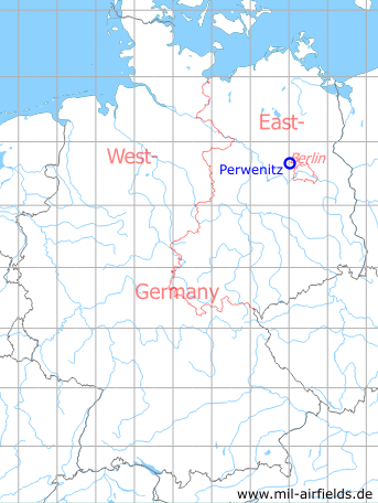
Germany during the Cold War Map
The history of the Cold War airfields: Perwenitz
Location of airfield
Autobahn A10, between intersections Falkensee and Autobahndreieck Havelland
Usage during the Cold War
Highway Strip.
Use today
Closed.
Runways
- 01/19: 3300 m
Bibliography
- Freundt, Lutz: "Sowjetische Fliegerkräfte in Deutschland 1945-1994, Band 3" Edition Freundt Eigenverlag, Diepholz 1999 - Short description, aerial picture from 1986
- Freundt, Lutz: "Sowjetische Fliegerkräfte in Deutschland 1945-1994, Band 4" Edition Freundt Eigenverlag, Diepholz 2000 - Short addition
- Freundt, Lutz (Hrsg.), Büttner, Stefan: "Rote Plätze - Russische Militärflugplätze in Deutschland 1945 - 1994" AeroLit Verlag, 2007 - Short description, aerial picture from 1986
 Follow mil-airfields on Facebook