For historical information only, do not use for navigation or aviation purposes!
| Coordinates | N513759 E0125356 ca. (WGS84) Google Maps |
| Airfield Id | 1035 |
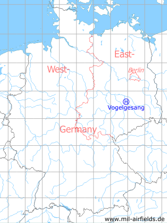
Germany during the Cold War Map
The history of the Cold War airfields: Vogelgesang
Location of airfield
1.2 km southeast Dommitzsch.
Usage during the Cold War
Helipad 1035 for for Ammunition Dump 42 (ML-42) of former East German National People's Army (NVA).
Use today
Closed.
Runways, taxiways, aprons
Dimensions: 135 m x 140 m
Main takeoff and landing direction: 315°
Surface: Grass (Athletic field)
Capacity: 2 helicopters
Main takeoff and landing direction: 315°
Surface: Grass (Athletic field)
Capacity: 2 helicopters
Telephone
Drahtverbindung im AFN
Airspace and procedures
Usable at day during good weather conditions
Alert time: 60 minutes.
Alert time: 60 minutes.
Obstacles
Power transmission line: direction 315°, distance 200 m
Airfields in the vicinity
- 359°/10km Düßnitz: Agricultural Airfield
- 263°/19km Bad Düben: Helipad 3061 (HSLP / HLP 3061)
- 227°/20km Eilenburg: Airfield (Rote Jahne, Rothejane, Mörtitz, Mensdorf)
- 051°/24km Holzdorf: Air Base
- 114°/24km Falkenberg: Air Base (Alt Lönnewitz, Аэродром Фалькенберг (ГДР))
 Follow mil-airfields on Facebook