For historical information only, do not use for navigation or aviation purposes!
| Coordinates | N585929 E0244260 (WGS84) Google Maps |
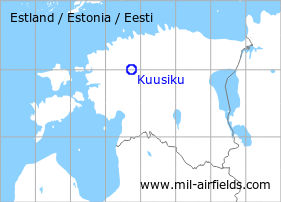
The history of the Cold War airfields: Kuusiku
General
Kuusiku is located in the west of Estonia. During the Cold War, there was a military auxiliary airfield north of the village. Today, the field is used by general aviation.
During the Cold War
Use
Soviet military airfield
Situation
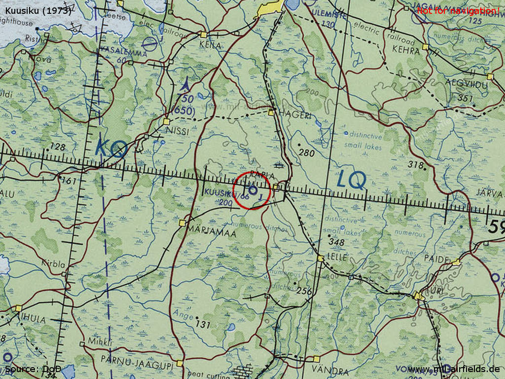
Kuusiku Airfield on a map of the US Department of Defense from 1973
Source: ONC D-3 (1973), Perry-Castañeda Library Map Collection, University of Texas at Austin /PCL MC/
Runways
- 15/33: 2300 m Grass
Units
- 1951 - June 1960: Fighter Regiment of the Baltic Fleet, from 01. February 1957 subordinated to Air Defense (MiG-15, MiG-17)
Source: "Unter dem Radar"
Today
Use
General aviation.
 Follow mil-airfields on Facebook