For historical information only, do not use for navigation or aviation purposes!
| Coordinates | N591535 E0241218 (WGS84) Google Maps |
| Location indicator | EEEI |
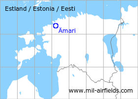
The history of the Cold War airfields: Ämari
General
The village Ämari is located in the north of Estonia. During the Cold War, Ämari was large air base of the Soviet Air Force. Characteristical was the remote dispersal area 2 km southwest of the field and the taxiway leading to it, which was built as an auxiliary runway in the northern part. Today, Ämari is still used as a military airfield.
During the Cold War
Use
Soviet air base.
Units
- 1953: Fighter Regiment of the Baltic Fleet (MiG-15)
- 1960: Helicopter unit (Mi-4, Ka-15)
- June 1966: Fighter Regiment (MiG-17)
- 21 November 1967 - August 1984: Fighter-Bomber Regiment (MiG-17, MiG-21PFM, MiG-27D/K)
- 1977 - 1983: Fighter-Bomber Regiment (Su-7BKL/BMK/U, MiG-15UTI)
- 1983 - 1987: Bomber Regiment (Su-24M)
- 1987 - 10 December 1989: Bomber Regiment (Su-24M)
- 13 November 1989 - 1993: Navy Ground Attack Regiment (Su-24M), in December 1991 renamed to Guards Navy Ground Attack Regiment (Su-24M)
Source: "Unter dem Radar"
In the 1950s
History
- October 1957
US agencies count 3 Il-28 aircraft at the airfield. (Source: CIA)
In the 1960s
Overview
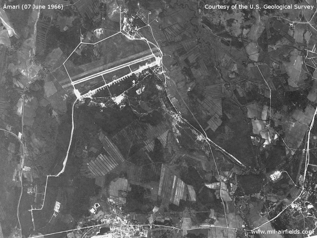
Ämari Air Base on a US satellite picture from June 1966 - Characteristical is the remote dispersal area 2 km southwest of the air base. In total, approximately 55 aircraft are visible on this image.
Source: U.S. Geological Survey
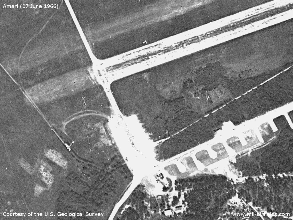
The western part of the field - At that time, the taxiway to the remote dispersal area had not yet been extended as an auxiliary runway.
Source: U.S. Geological Survey
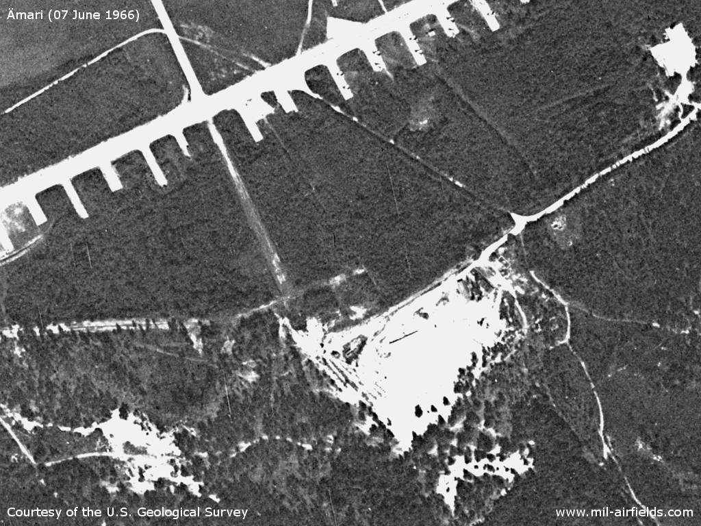
Parking positions
Source: U.S. Geological Survey
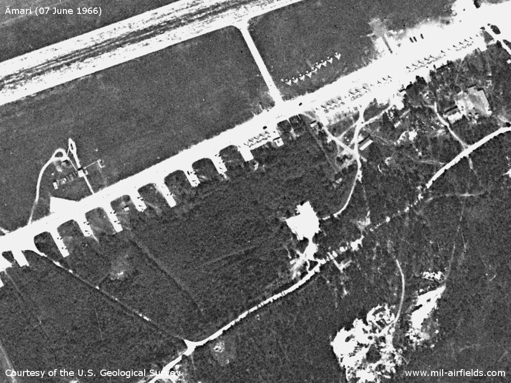
Aircraft - There are about 20 fighter planes on the individual parking positions and the small parking area. 25 fighter planes are on the main flight line and 9 aircraft on the lawn.
Source: U.S. Geological Survey
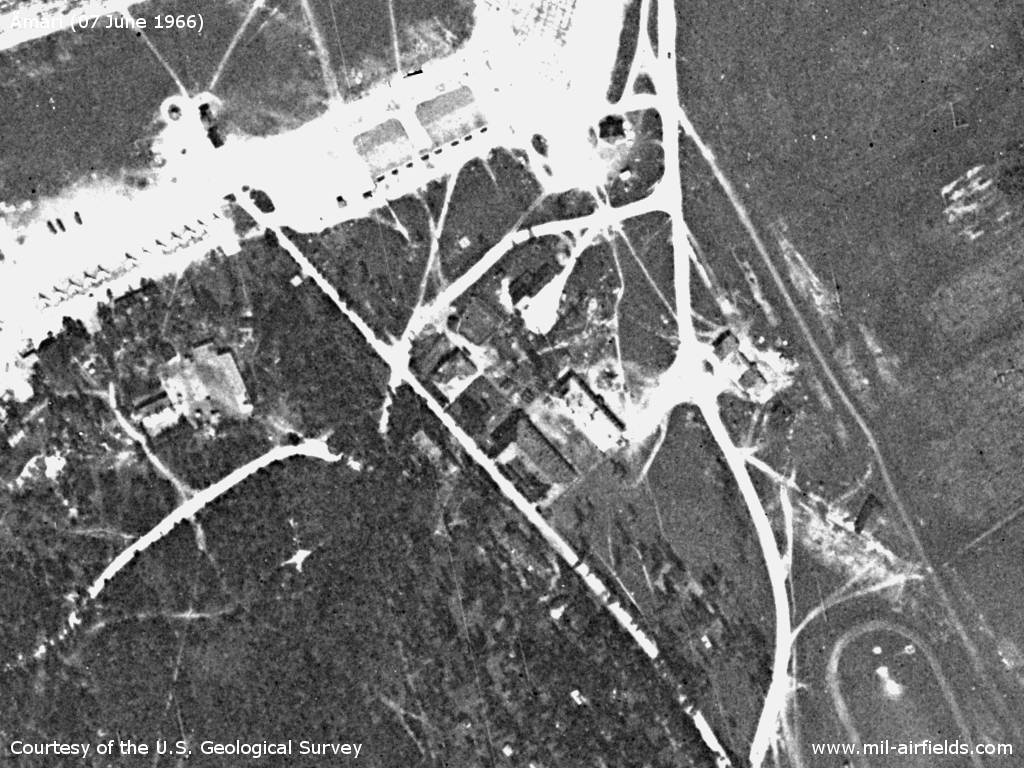
Southeastern end of the movement area
Source: U.S. Geological Survey
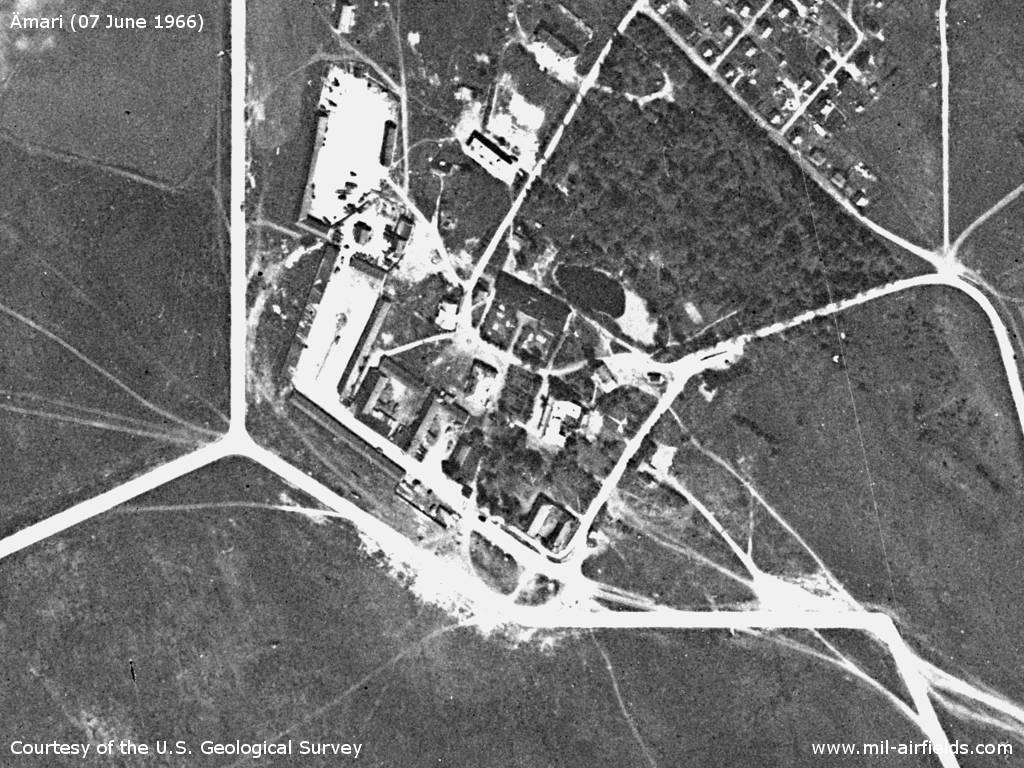
Object in the northeast
Source: U.S. Geological Survey
Fuel depot?
Source: U.S. Geological Survey
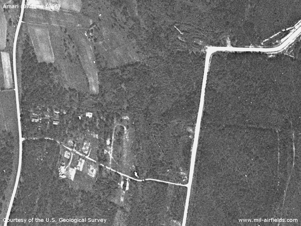
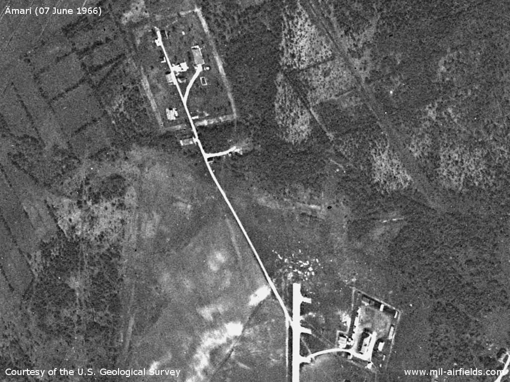
Taxiway to the remote dispersal
Source: U.S. Geological Survey
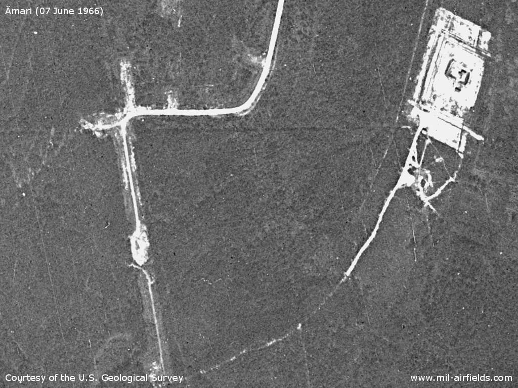
The remote decentralisation area does not yet look very developed
Source: U.S. Geological Survey
In the 1970s
Situation
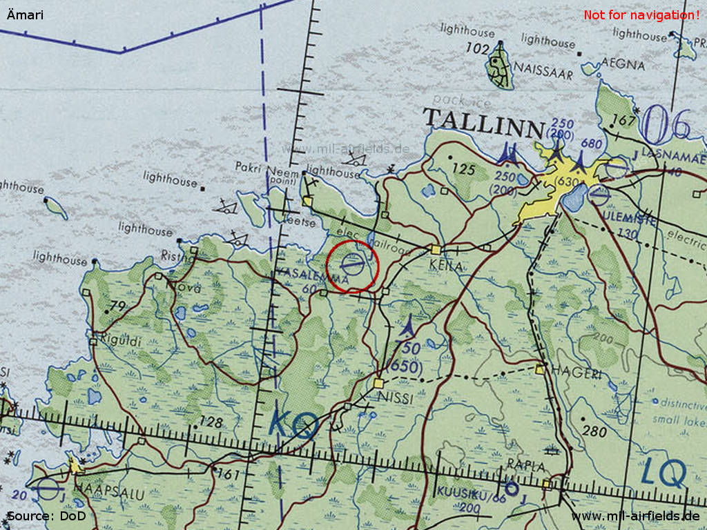
Ämari Air Base on a map of the US Department of Defense from 1973
Source: ONC D-3 (1973), Perry-Castañeda Library Map Collection, University of Texas at Austin /PCL MC/
In the 1980s and early 1990s
Runways
- 18/36: 2000 m
- 07/25: 2000 m x 45 m Concrete
Units
Soviet naval aviation with Su-24.
Installations
Main runway in direction 07/25. Additional runway in direction north-south in the western part of the field. Originally it crossed the main runway, but this part has been removed in the recent years. Flight line in the southwest. Dispersal area with shelters in the north. A remote shelter area about 2 km south of the runway. In the southeast large parking pads. Obviously, there was no direct railway siding to the airfield; the next train station is Rummu, ca. 2 km to the south.
Today
Use
Military airfield.
Sources
- https://www.usgs.gov/ - USGS US Geological Survey
Links
- http://www.airliners.net/photo//0422187/L/ - Aerial picture 2003
Airfields in the vicinity
- 024°/18km Keila Joa: Air Base / Missile Site (Väänä, Türisalu)
- 055°/37km Tallinn: Seaplane Station (Lennusadam)
- 060°/42km Tallinn: Airfield / Air Base: Lasnamäe
- 135°/42km Kuusiku: Airfield (Kuusiku lennuväli)