For historical information only, do not use for navigation or aviation purposes!
| Coordinates | N582511 E0242826 (WGS84) Google Maps |
| Elevation | 47 ft |
| Location indicator | EEPU |
The history of the Cold War airfields: Pärnu
General
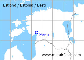
Pärnu is located in the southwest of Estonia. During the Cold War, there was a large air base of the Soviet Air Force northwest of the city.
During the Cold War
Use
Soviet air base.
In the 1950s
History
- October 1957
US agencies count at the airfield:
- 40 to 50 aircraft Il-28 or Tu-14
- 24 fighter planes, possibly MiG-15 or MiG-17
- 2 transport aircraft, possibly Li-2 (Source: CIA)
In the 1960s
Overview
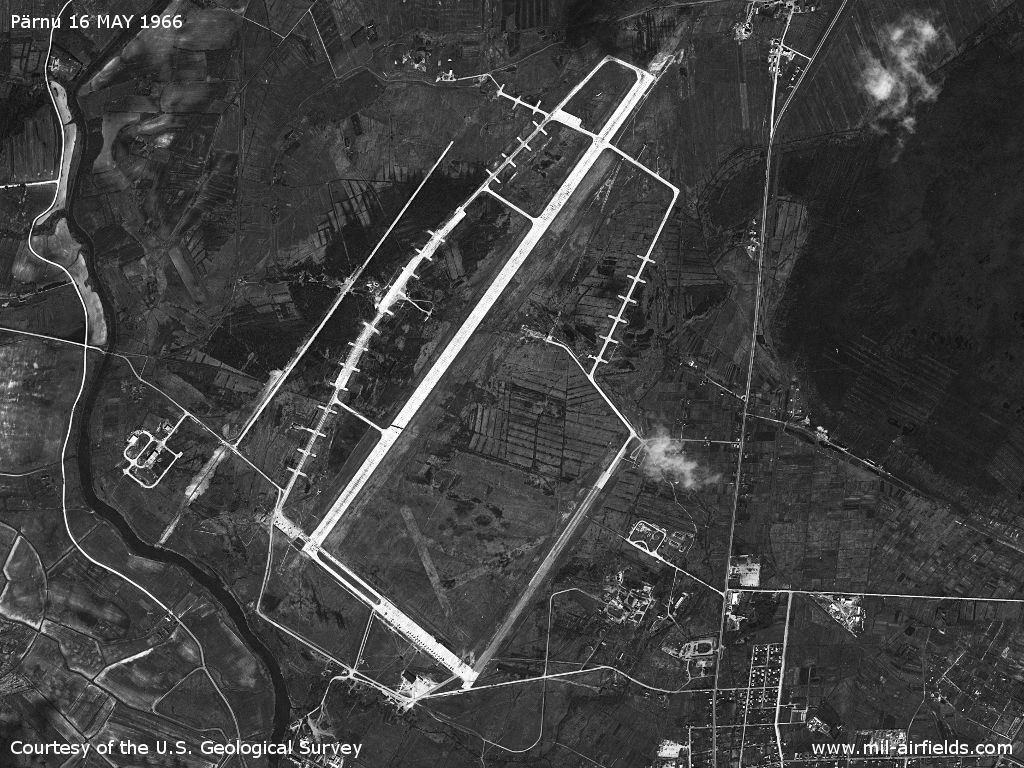
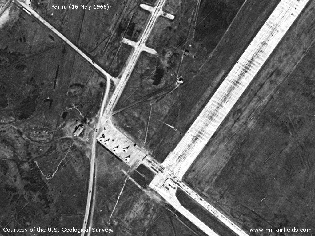
Pärnu Air Base on a US satellite picture from 16 May 1966
Source: U.S. Geological Survey
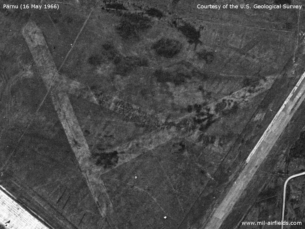
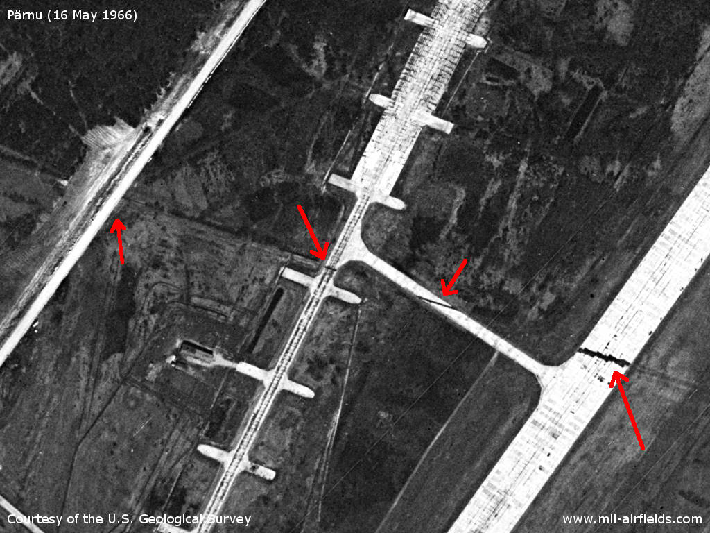
Enlargement: old runway system
Source: U.S. Geological Survey
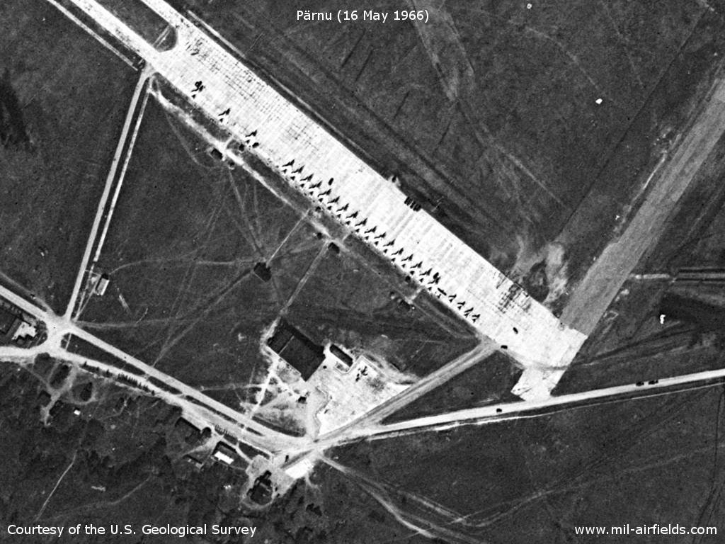
Enlargement: 26 aircraft of different types
Source: U.S. Geological Survey
Enlargement: Additional 5 aircraft on the southwestern edge
Source: U.S. Geological Survey
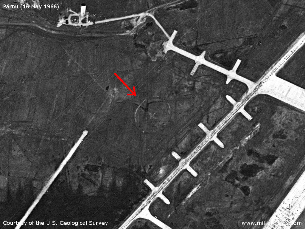
Enlargement: Target cross?
Source: U.S. Geological Survey
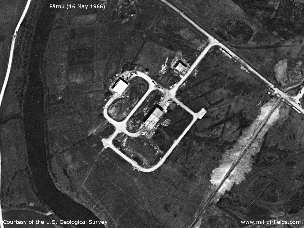
Enlargement: Radio beacon for approaches from the northeast
Source: U.S. Geological Survey
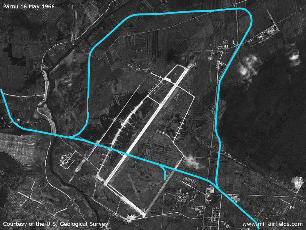
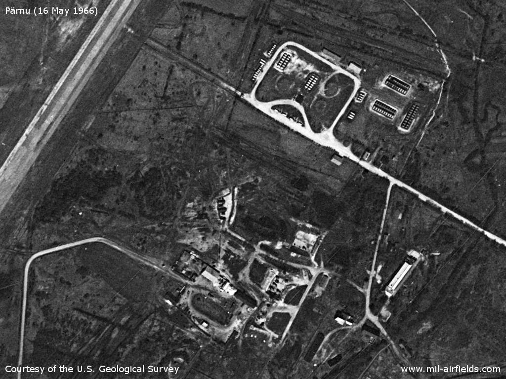
Railways around the airfield
Source: U.S. Geological Survey
History
- July 1965
US agencies count at the airfield 9 large swept-wing fighter aircraft and 5 possibly small swept-wing fighter aircraft. (Source: CIA)
In the 1970s
Situation
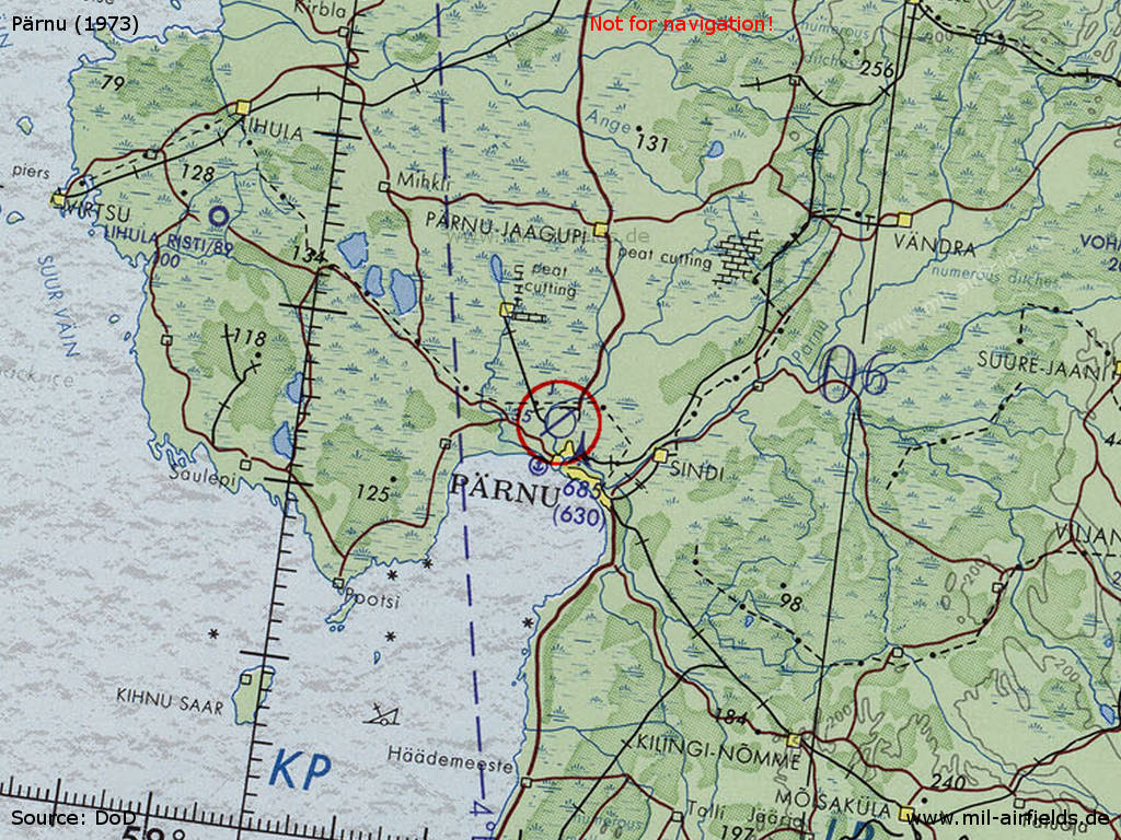
Pärnu Air Base on a map of the US Department of Defense from 1973
Source: ONC D-3 (1973), Perry-Castañeda Library Map Collection, University of Texas at Austin /PCL MC/
In the 1980s and early 1990s
Runways
- 03/21: 2500 m x 45 m
Units
655 IAP (655 ИАП) MiG-23 (1990).
Today
Use
Civil airfield.
Sources
- https://www.usgs.gov/ - USGS: U.S. Geological Survey
Airfields in the vicinity
- 170°/4km Pärnu: Seaplane Station
- 293°/43km Vatla: Highway Strip (Lihula Rist)
 Follow mil-airfields on Facebook