Pärnu: Seaplane Station
For historical information only, do not use for navigation or aviation purposes!
| Coordinates | N582307 E0242907 (WGS84) Google Maps |
The history of the Cold War airfields: Pärnu Seaplane Station
General
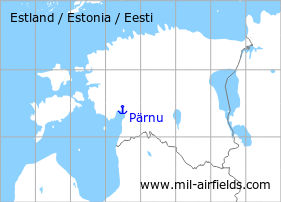
Pärnu is located in the southwest of Estonia. In the southwest of the city was a Soviet seaplane station.
Location of airfield
The exact location of the seaplane base is unclear. There are two indications of location: 1. at the river near the estuary and 2. west of Pärnu. There may have been two different locations.
During the Cold War
Situation
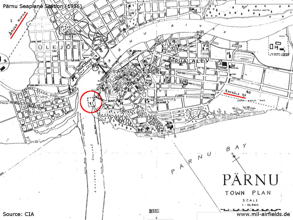
CIA city map of Pärnu with the location of the seaplane station (red circle) in 1956 - The other two airfields Sauga and Raeküla are marked in red.
Source: CIA
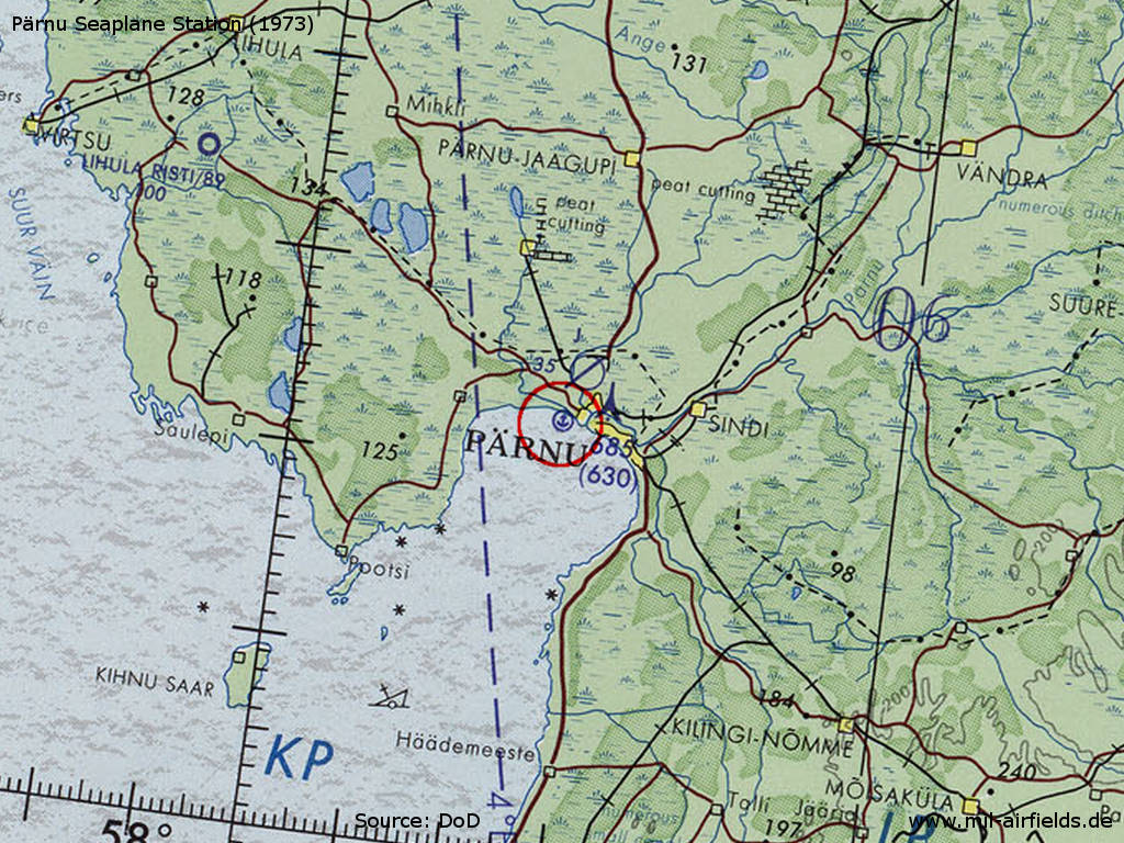
Pärnu Seaplane Station on a map of the US Department of Defense from 1973 - The landing site is marked farther west than the location on the 1956 city map.
Source: ONC D-3 (1973), Perry-Castañeda Library Map Collection, University of Texas at Austin /PCL MC/
Overview
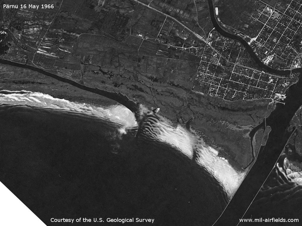
Source: U.S. Geological Survey
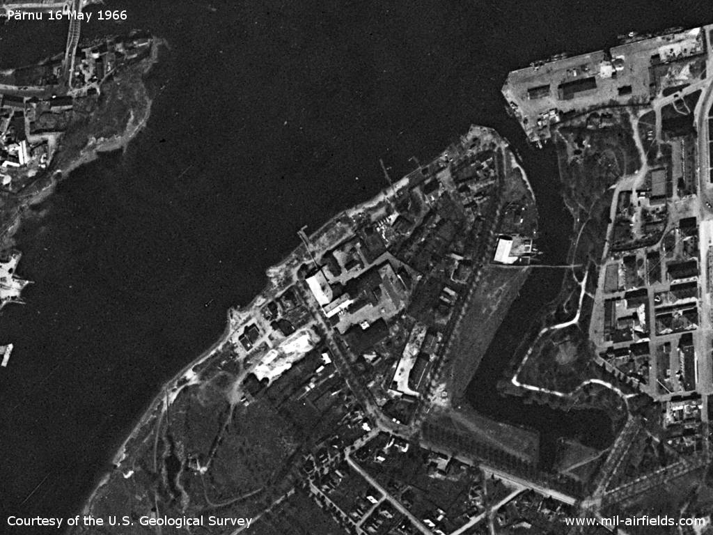
Source: U.S. Geological Survey
History
- CIA report from April 1948
A Russian base for hydroplanes has been established at the mouth of the Pärnu River. The number of planes observed on this base was approximately 200. Several of the planes were lying unassembled on the banks of the river. Hydroplanes are being used for patrol duties and there are often as many as three planes in the air at the same time. It is reported that another hydroplane base is being constructed further up the river. - CIA report from February 1952
A seaplane base was west of the town. A stone hangar, about 25 x 120 meters, with the upper section glassed in, was seen from a distance. The seaplane base was bordered on the west by a stone mole about 200 meters long. Two float planes of Arado 196 type were used for training flights almost every day. - Prisoners of war constructed a hangar, about 10 x 20 x 50 meters, in the area of the seaplane base south of Parnu. The hangar was presumably a repair hangar, since it had no partitions. The construction work was to be completed by ... Fifteen Arado-196s were parked on a wooden strip about 10 meters from the shore. Three landing ramps, about 3 x 40 meters, sloped from the parking site into the water. Some buildings in the vicinity of the field were evacuated by the civilians in the ... and occupied by about 100 Soviet soldiers who wore blue uniforms, service caps, and epaulets with propeller insignia. A major was the ranking officer.
- CIA report from April 1956
The seaplane base (see city map above) is marked by red buoys, probably belonging to the Frontier Guards. The shore area was fenced with barbed wire. In the fall of 1954, four seaplanes, each with two floats, were seen moored in the area about 100 meters from shore.
Today
Use
Closed.
Sources
- https://www.usgs.gov/ - USGS: U.S. Geological Survey
Airfields in the vicinity
- 350°/4km Pärnu: Air Base (Аэродром Пярну)
- 297°/45km Vatla: Highway Strip (Lihula Rist)
 Follow mil-airfields on Facebook