Võhma: Airfield
For historical information only, do not use for navigation or aviation purposes!
| Coordinates | N583942 E0253442 (WGS84) Google Maps |
The history of the Cold War airfields: Võhma
General
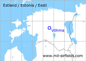
Võhma is located in the center of Estonia. During the Cold War, there was a military auxiliary airfield. Today, the airfield is closed.
During the Cold War
Use
Auxiliary airfield?
Situation
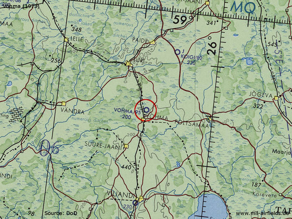
Võhma Airfield on a map of the US Department of Defense from 1973
Source: ONC D-3 (1973), Perry-Castañeda Library Map Collection, University of Texas at Austin /PCL MC/
Overview

Vöhma Airfield on a US satellite image from June 1975
Source: U.S. Geological Survey
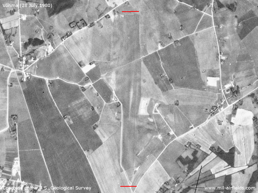
US satellite image from July 1980 - Both ends of the grass runway are marked red
Source: U.S. Geological Survey
Runways
- 18/36: 3000 m Grass
Today
Use
Closed.
Sources
- https://www.usgs.gov/ - USGS U.S. Geological Survey
 Follow mil-airfields on Facebook