For historical information only, do not use for navigation or aviation purposes!
| Coordinates | N585150 E0254356 (WGS84) Google Maps |
| Elevation | 225 ft |
The history of the Cold War airfields: Nurmsi
General
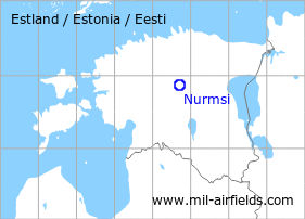
Nurmsi is located in the center of Estonia. During the Cold War, there was a military auxiliary airfield. Today, the field is used by general aviation.
During the Cold War
Use
Soviet reserve airfield.
Situation
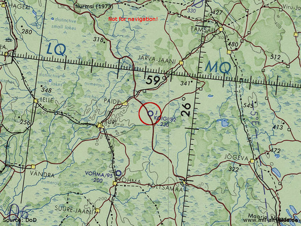
Nurmsi Airfield on a map of the US Department of Defense from 1973
Source: ONC D-3 (1973), Perry-Castañeda Library Map Collection, University of Texas at Austin /PCL MC/
Overview
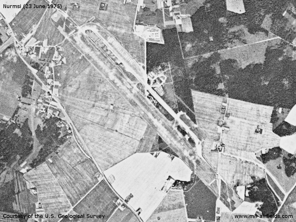
Nurmsi Airfield on a US satellite image from June 1975
Source: U.S. Geological Survey
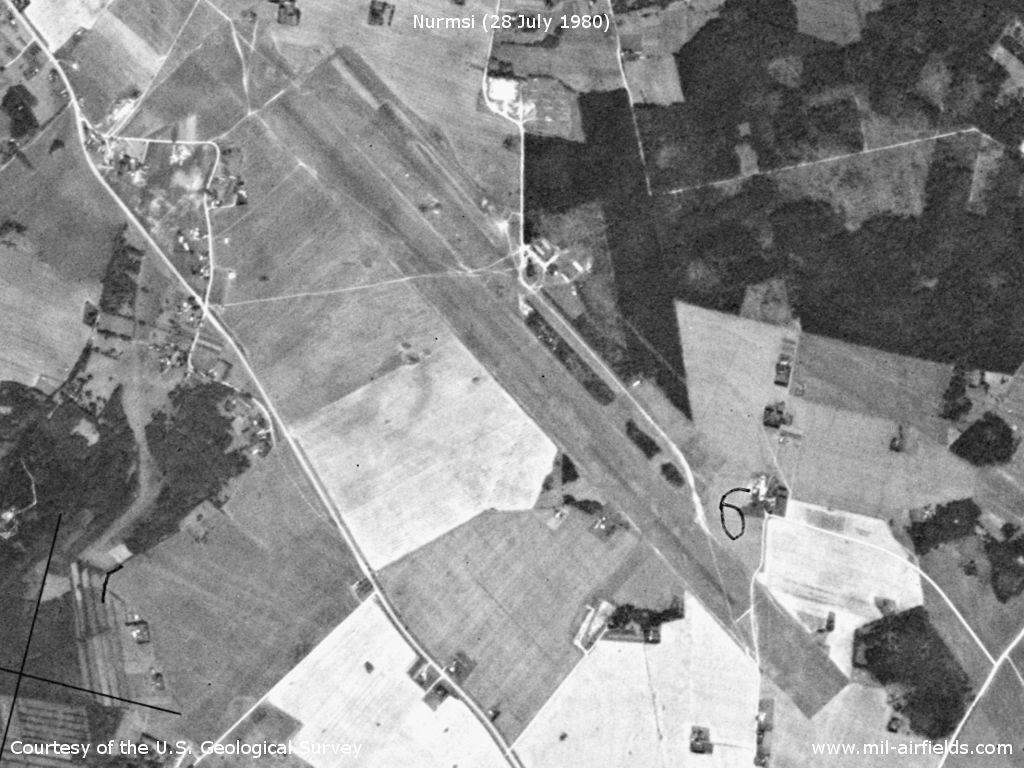
Nurmsi Airfield on a US satellite image from July 1980
Source: U.S. Geological Survey
Runways
- 14/32: 4000 m x 255 m Grass
Installations
Long grass runway; parallel taxiways and parking areas, partly separated from the runway by trees.
Today
Use
General aviation.
Sources
- https://www.usgs.gov/ - USGS: U.S. Geological Survey
Links
- http://forums.eagle.ru/showthread.php?t=34216&page=10 (offline): Аварии и катастрофы военной авиации СССР - Crash of a Il-28 at Nurmsi airfield 21jan1972.
Airfields in the vicinity
- 202°/24km Võhma: Airfield
- 017°/43km Tapa: Air Base (Аэродром Тапа)
 Follow mil-airfields on Facebook