For historical information only, do not use for navigation or aviation purposes!
| Coordinates | N591412 E0255715 (WGS84) Google Maps |
| Elevation | 330 ft |
The history of the Cold War airfields: Tapa
General
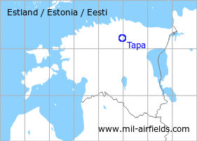
Tapa is located in the north of Estonia. The air base is 3 km south of the city. During the Cold War, there was an air base of the Soviet Air Force.
During the Cold War
Use
Soviet air base.
In the 1950s
History
- October 1957
US agencies count at the airfield 90 to 110 fighters, possibly MiG-15. (Source: CIA)
In the 1970s
Situation
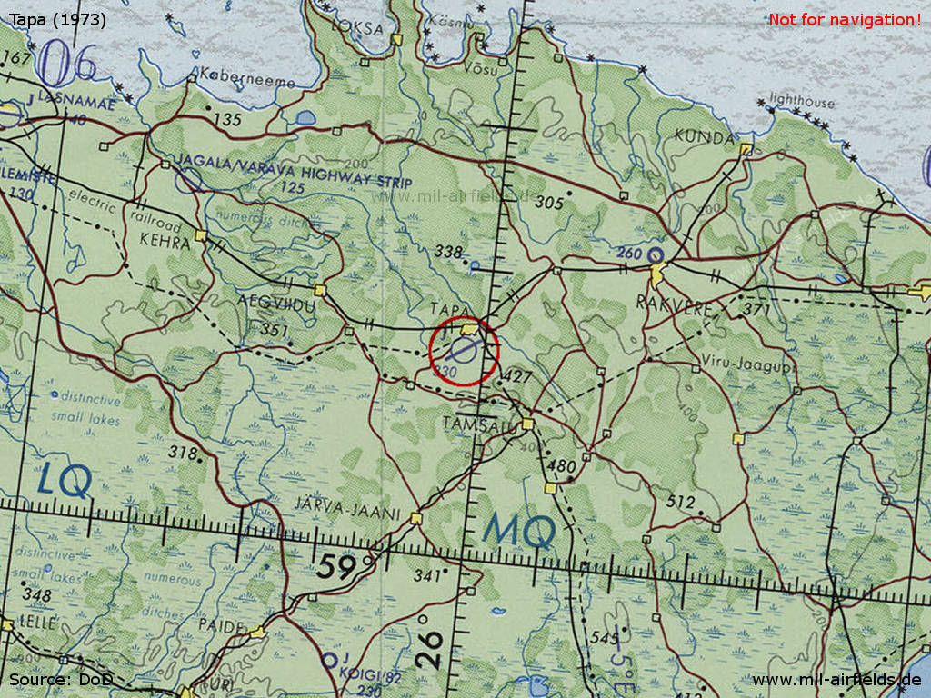
Tapa Air Base on a map of the US Department of Defense from 1973
Source: ONC D-3 (1973), Perry-Castañeda Library Map Collection, University of Texas at Austin /PCL MC/
In the 1980s and early 1990s
Overview
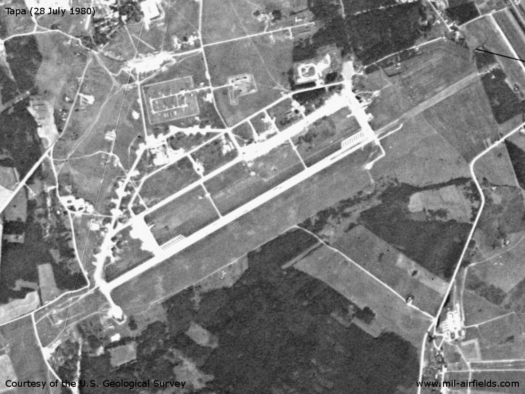
Tapa Air Base on a US satellite image from July 1980
Source: U.S. Geological Survey
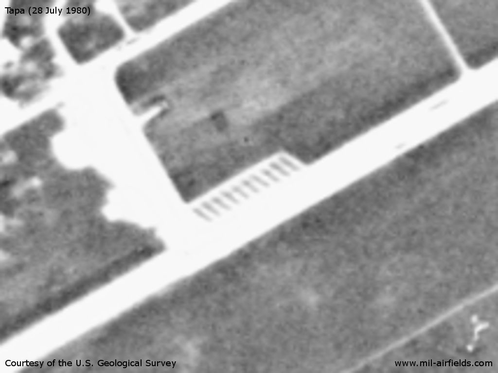
Characteristic: The QRA lanes at both ends of the runway.
Source: U.S. Geological Survey
Runways
- 05/23: 2500 m
Units
656 IAP MiG-23 (1990).
Installations
Runway; 10 QRA positions in the west and in the east, immediately north of the runway (see pattern ); taxiway in the north; flightline in the northeast; shelter areas in the west and northeast; some open parking pads; railway connection in the north from Tapa.
Sources
- https://www.usgs.gov/ - USGS U.S. Geological Survey
Links
- http://www.airliners.net/photo//0422186/L/ - Aerial picture 2003
 Follow mil-airfields on Facebook