For historical information only, do not use for navigation or aviation purposes!
| Coordinates | N593213 E0261845 (WGS84) Google Maps |
| Elevation | 150 ft |
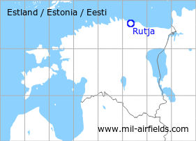
The history of the Cold War airfields: Rutja
General
Rutja is located in Estonia. During the Cold War, there was a military aerodrome of the Soviet Air Force. Today, the airfield is closed.
During the Cold War
Usage during the Cold War
Soviet reserve airfield.
Overview
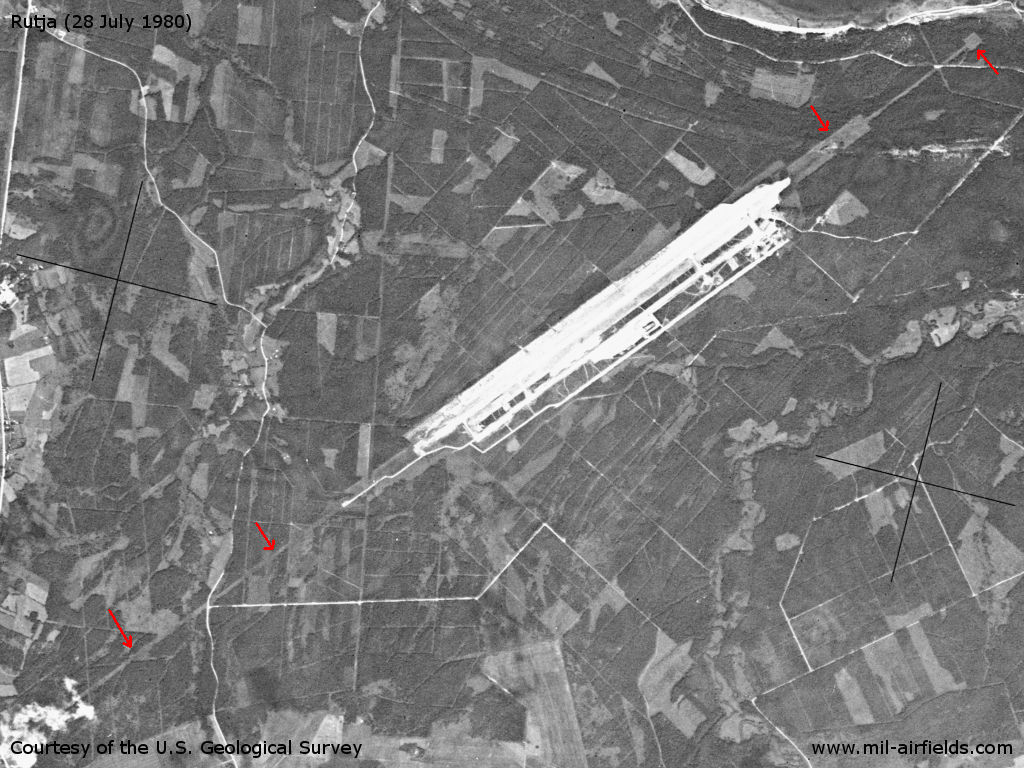
Rutja airfield on a US satellite image from July 1980 - In the approach sectors, one lane extends 2 km to the northeast and 4 km to the southwest.
Source: U.S. Geological Survey
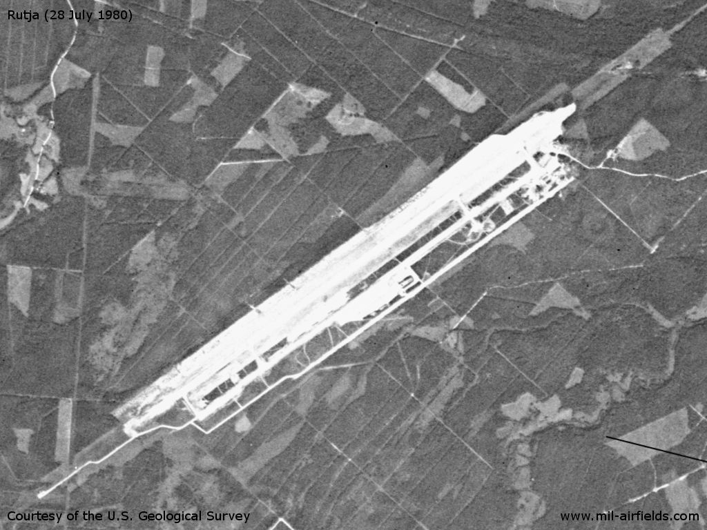
Enlargement
Source: U.S. Geological Survey
Runways
- 05/23: 2500 m
Installations
Simple Layout: runway, parallel runway in the south, ramps.
Today
Use today
Closed.
Sources
- https://www.usgs.gov/ - USGS U.S. Geological Survey
Airfields in the vicinity
- 173°/19km Rakvere: Airfield / Heliport (Rakwere, Раквере)
- 211°/39km Tapa: Air Base (Аэродром Тапа)
 Follow mil-airfields on Facebook