For historical information only, do not use for navigation or aviation purposes!
| Coordinates | N575605 E0265843 (WGS84) Google Maps |
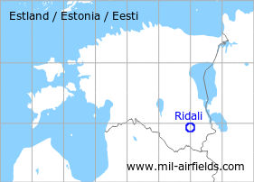
The history of the Cold War airfields: Ridali
General
Ridali is located in the southeast of Estonia. During the Cold War, there was a military auxiliary airfield. Today, Ridali is a general aviation airfield.
During the Cold War
Use
Soviet auxiliary airfield?
Situation
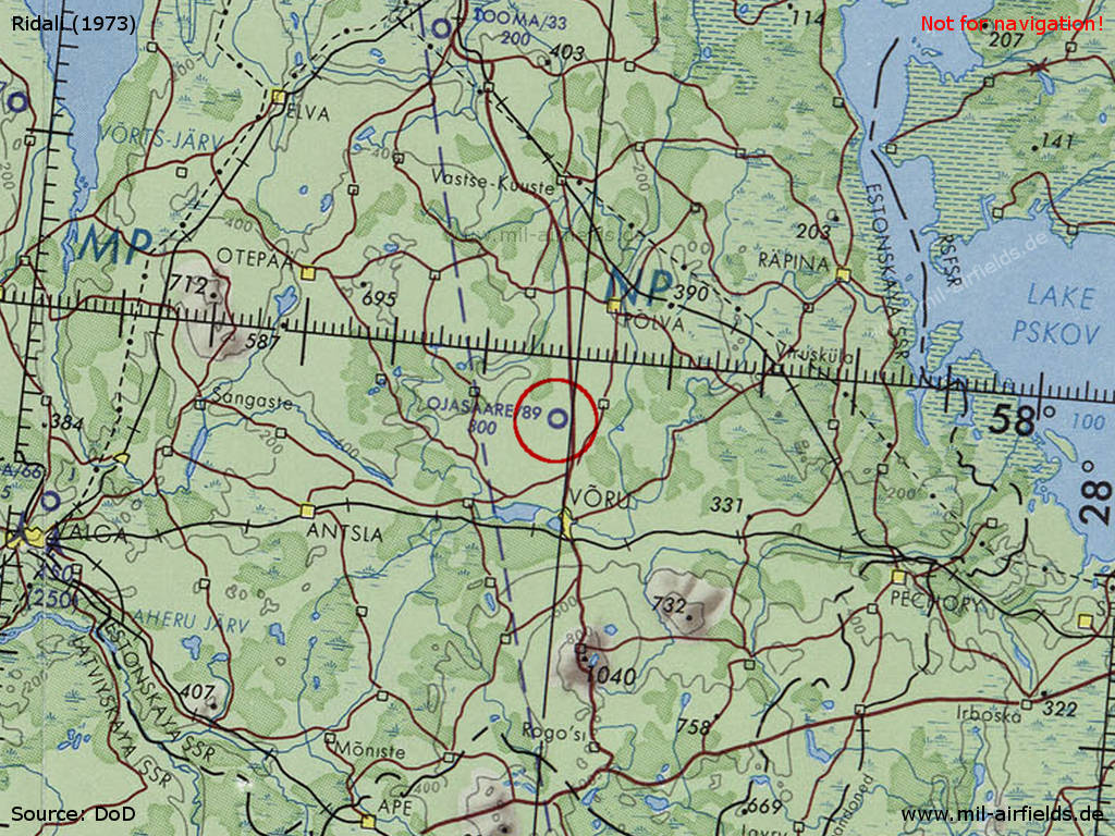
Ridali Airfield on a map of the US Department of Defense from 1973 - (Source: ONC D-3 (1973), Perry-Castañeda Library Map Collection, University of Texas at Austin /PCL MC/)
Runways
- 01/19: 2700 m Grass
History
- April 1955
According to a CIA report, the airfield at Voru was being extended for use by jet fighter aircraft. At that time there were 10 to 15 fighters stationed there. (Source: CIA)
Today
Use
General aviation.
Airfields in the vicinity
- 347°/54km Tartu: Air Base (Raadi, Аэродром Тарту)
- 256°/55km Valga: Airfield
 Follow mil-airfields on Facebook