Valga: Airfield
For historical information only, do not use for navigation or aviation purposes!
| Coordinates | N574859 E0260443 (WGS84) Google Maps |
The history of the Cold War airfields: Valga
General
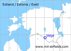
Valga is located in the south of Estonia, directly on the border with Latvia. Northeast of the city was a military auxiliary airfield during the Cold War. Today, the airfield is closed.
During the Cold War
Use
Soviet auxilliary airfield?
Situation
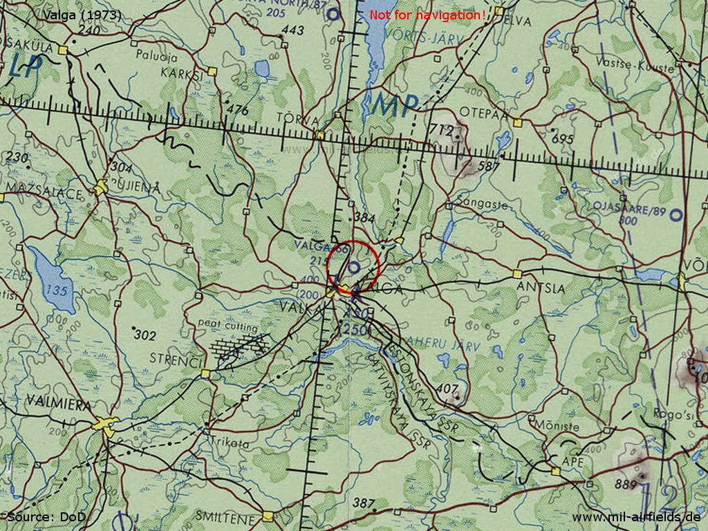
Valga Airfield on a map of the US Department of Defense from 1973
Source: ONC D-3 (1973), Perry-Castañeda Library Map Collection, University of Texas at Austin /PCL MC/
Overview
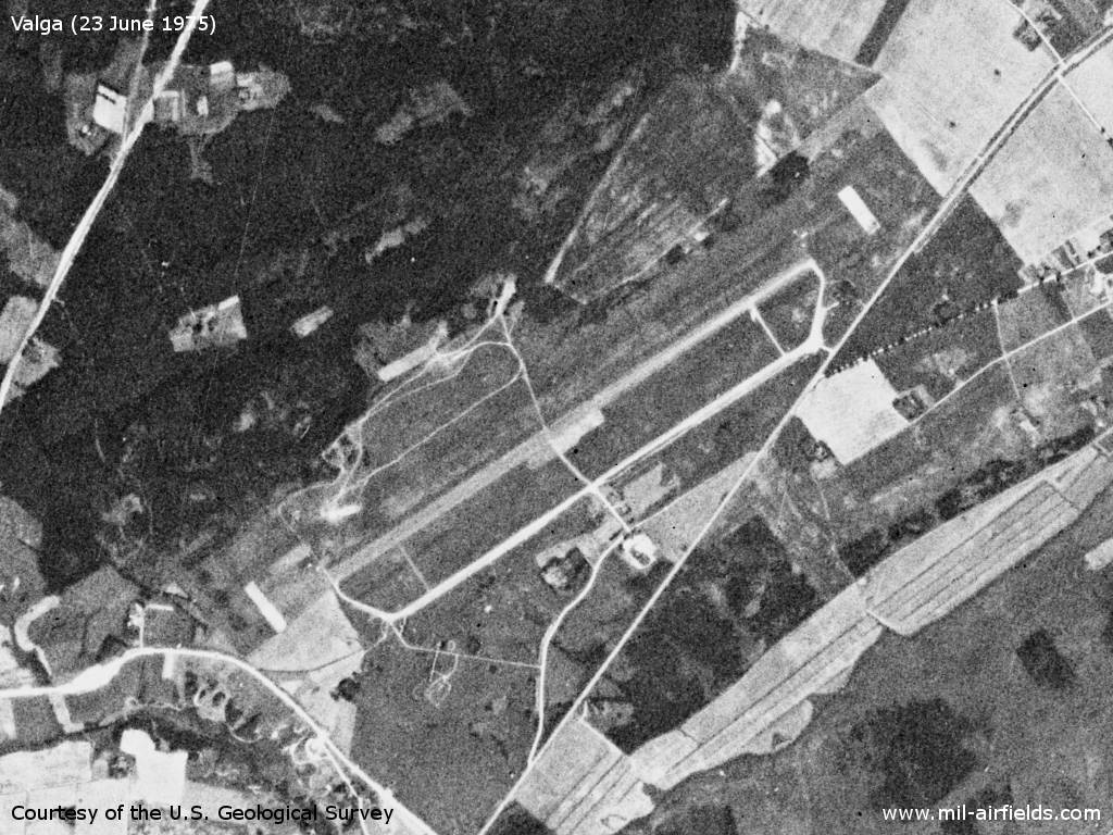
Valga airfield on a US satellite image from June 1975 - The field seems to be in good condition.
Source: U.S. Geological Survey
Runways
- 06/24: 2500 m Grass
Today
Use
Closed.
Sources
- https://www.usgs.gov/ - USGS U.S. Geological Survey
 Follow mil-airfields on Facebook