For historical information only, do not use for navigation or aviation purposes!
| Coordinates | N513550 E0083303 (WGS84) Google Maps |
| Elevation | 705 ft |
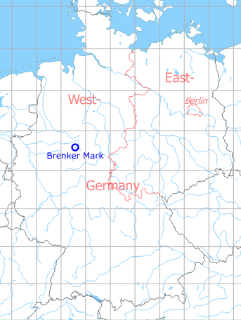
Germany during the Cold War Map
The history of the Cold War airfields: Brenker Mark
Location
Federal State of North Rhine-Westphalia
Location of airfield
Autobahn A 44 between intersections Geseke and Büren.
Usage during the Cold War
Highway Strip.
Use today
Closed.
Runways
- 09/29: 3200 m