Toggle navigation
Military Airfield Directory
Cold War Airfields
Home
Air Bases
Radio beacons
Charts
Topics
Documents
Deutsch
←
Bückeburg
: Airbase (RAF Bückeburg)
Buldern
: Highway Strip (Autobahn-Notlandeplatz NLP) →
Home
Air Bases
Germany
Büdingen
: Army Airfield AAF
Budingen
Diese Seite auf Deutsch
For historical information only, do not use for navigation or aviation purposes!
Coordinates
N501716 E0090514
(WGS84)
Google Maps
Elevation
427 ft
Location indicator
EDEP
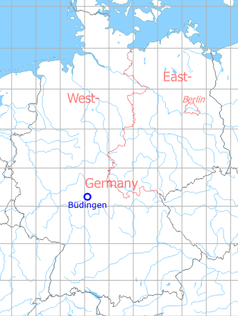
Germany during the Cold War
Map
The history of the Cold War airfields: Büdingen
During the Cold War
Use
US Army airfield, later heliport.
Situation
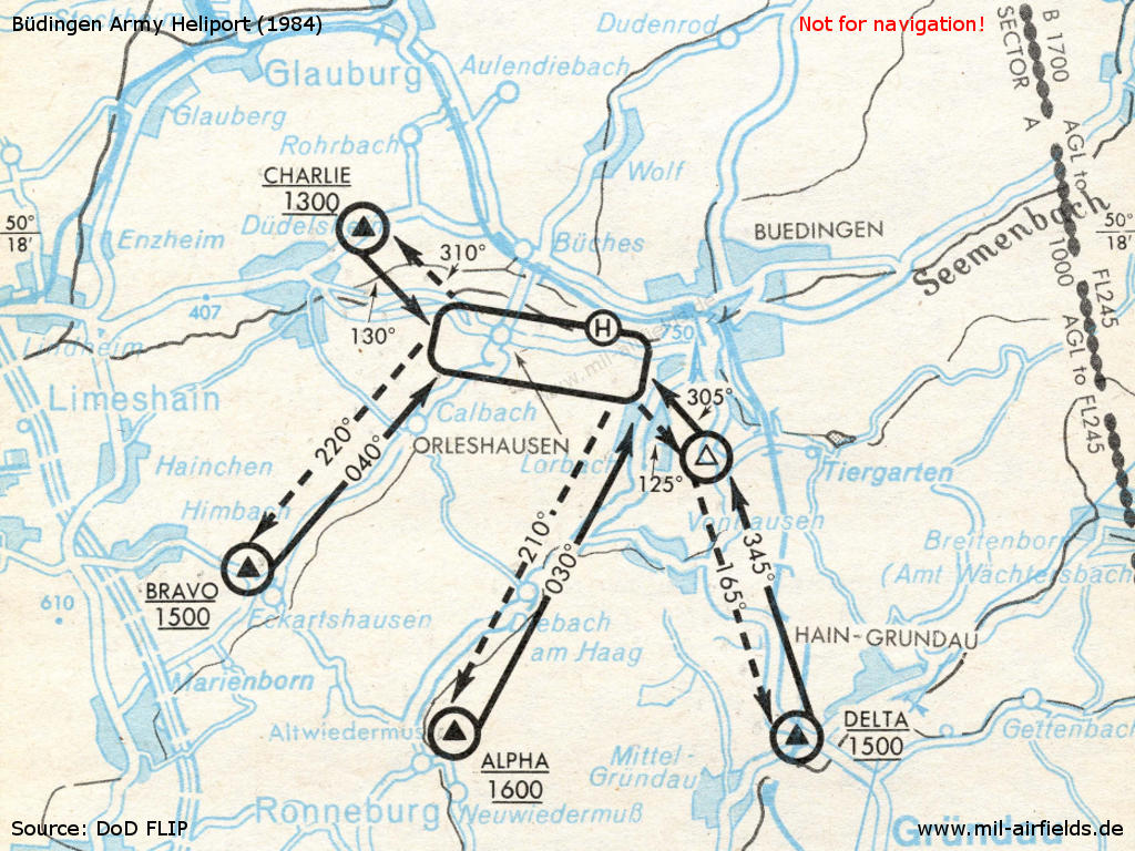
Visual arrival and departure routes in 1984
Overview
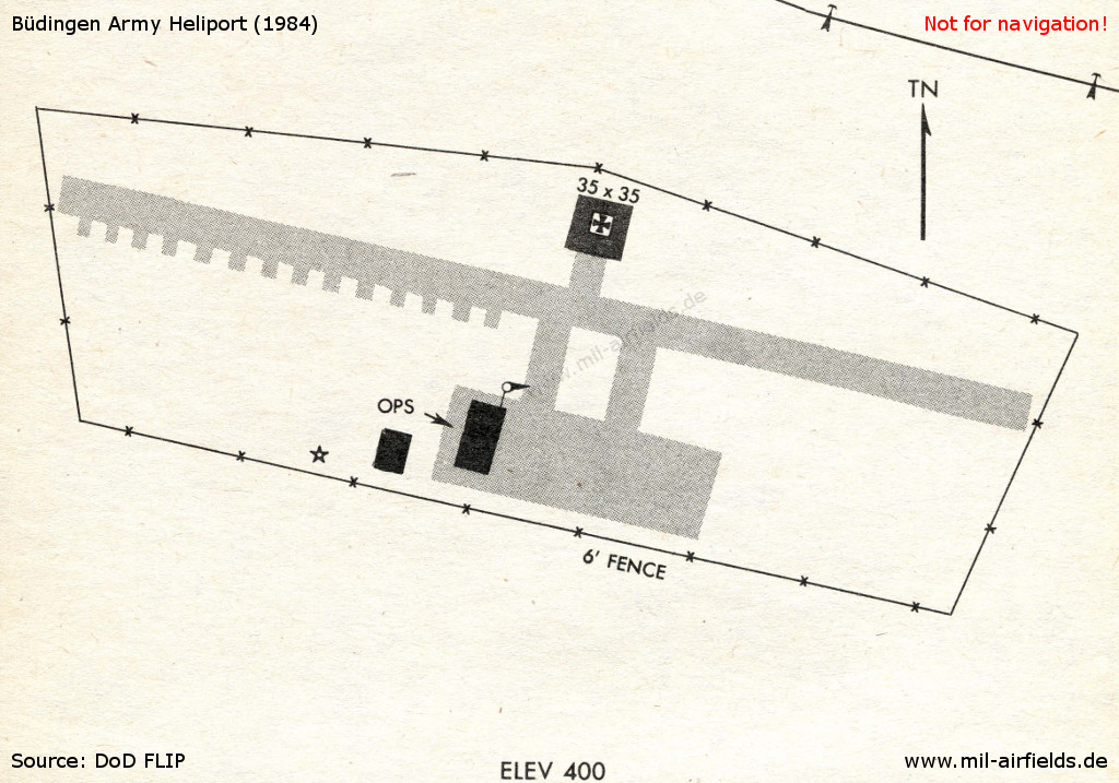
Buedingen heliport in 1984
Runways
Data for the year 1971:
10/28: 610 m x 23 m
1990: heliport only
Units
4-7 Cav 8 AH-1F, 12 OH-58A, 1 UH-1H (1990), 1-1 Cav AH-1F, OH-58 (1994)
Today
Use
Closed. The site was mostly renaturated.
Airfields in the vicinity
154°/11km
Gelnhausen
: Army Airfield AAF (Fliegerhorst Gelnhausen, Y-67)
214°/16km
Hanau
: Army Air Field AAF (Erlensee, Langendiebach)
282°/26km
Friedberg
: Army Airfield AAF (Army Airfield AAF)
Categories
Military Airfields Germany
Military Airfields in former West Germany
US Army Airfields and Heliports in Germany
Diese Seite auf Deutsch
←
Bückeburg
: Airbase (RAF Bückeburg)
Buldern
: Highway Strip (Autobahn-Notlandeplatz NLP) →