Ladeburg: Object 5020
For historical information only, do not use for navigation or aviation purposes!
| Coordinates | N524258 E0133211 (WGS84) Google Maps |
| Former East Germany (GDR) | District of Frankfurt/O |
| Federal state | Brandenburg |

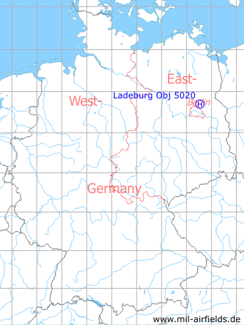
Germany during the Cold War Map
The history of the Cold War airfields: Ladeburg
Usage during the Cold War
Helipad for former East German Government.
Runways, taxiways, aprons
The heliport had an area of ca. 300 m x 350 m.
Use today
Closed.
Current State
Hardstands and buildings have been demolished.
Airfields in the vicinity
- 088°/6km Ladeburg: Helipad 3106 (HSLP 3106)
- 108°/8km Albertshof: Airfield
- 329°/14km Kreuzbruch: Airfield (FRA-4123 Klosterfelde, Helipad 3114, 6102)
- 041°/16km Finow: Air Base (Eberswalde-Finow, Аэродром Финов)
- 154°/16km Blumberg: Agricultural Airfield
- 121°/18km Werneuchen: Air Base (Аэродром Вернейхен (ГДР))
- 041°/19km Eberswalde: Helipad 1036 (HSLP / HLP 1036, Eberswalde-Finow)
- 056°/19km Spechthausen: Helipad 1026 (HSLP / HLP 1026)
- 156°/20km Hönow: Agricultural Airfield